
Elevation Profile
474–618 m
From the picnic area, go down the road towards Coissard/Puyfoulhoux (ignore the road which goes to Champciaux on the right) (view of Coppel castle on the right). 300 m further, take the first path which rises on the left.
(1) Cross the road and continue to climb opposite, the road becomes a path (view of the Coppel castle in the foreground, Clermont-Fd and the Puys chain in the background, back to you: view of the Montmorin castle and its church on the cliffside, Billom and the two Turleuros).
(2) Cross the hamlet of Plaines and continue straight on the same small road. At a bend, continue straight on a stony path towards the Etang des Maures.
(3) At the edge of the pond, at the road, turn right to follow the dike(beautiful house with its dovecote). Continue on the small road, leave a path on the left which runs along the pond and continue towards Segnoux.
(4) In Segnoux, at the bread oven, turn right (leave the street which goes to the right) and continue opposite between the houses, the road becomes a grassy path and continue straight on. At the exit (view of the ruined castle of Coppel, the Puys chain, the two Turleuros on the left, the Limagne plain opposite, and the castle of Montmorin on the right), continue straight on on a sunken path through the woods.
(5) At the first house of Serpanoux, turn left to enter the hamlet. 20 m further, leave the D 14 on the left and continue opposite to cross the hamlet. Continue on this good path to the road (view of the Montmorin castle and the church opposite and to the left: the ruins of the Coppel castle in the foreground, Clermont-Ferrand, the Puys chain and the Puy de Dôme in the background).
(6) At the road, continue to climb opposite to reach the picnic area (possibility of a return trip to the castle from Montmorin (2 km, 30 min): 50 m before the picnic area, take a gravel path on the left to go up and access the castle).
At a Glance
- Duration
- 1.5hrs
- Distance
- 5.7km
- Elevation +
- +195 m
- Elevation -
- -194 m
At a Glance
Live Weather
Departure / Arrival · Aire de pique-nique, Puyfoulhoux
Live conditions
—
Feels like
—
Wind / gusts
—
Visibility
—
Updated: —
Field notes and images
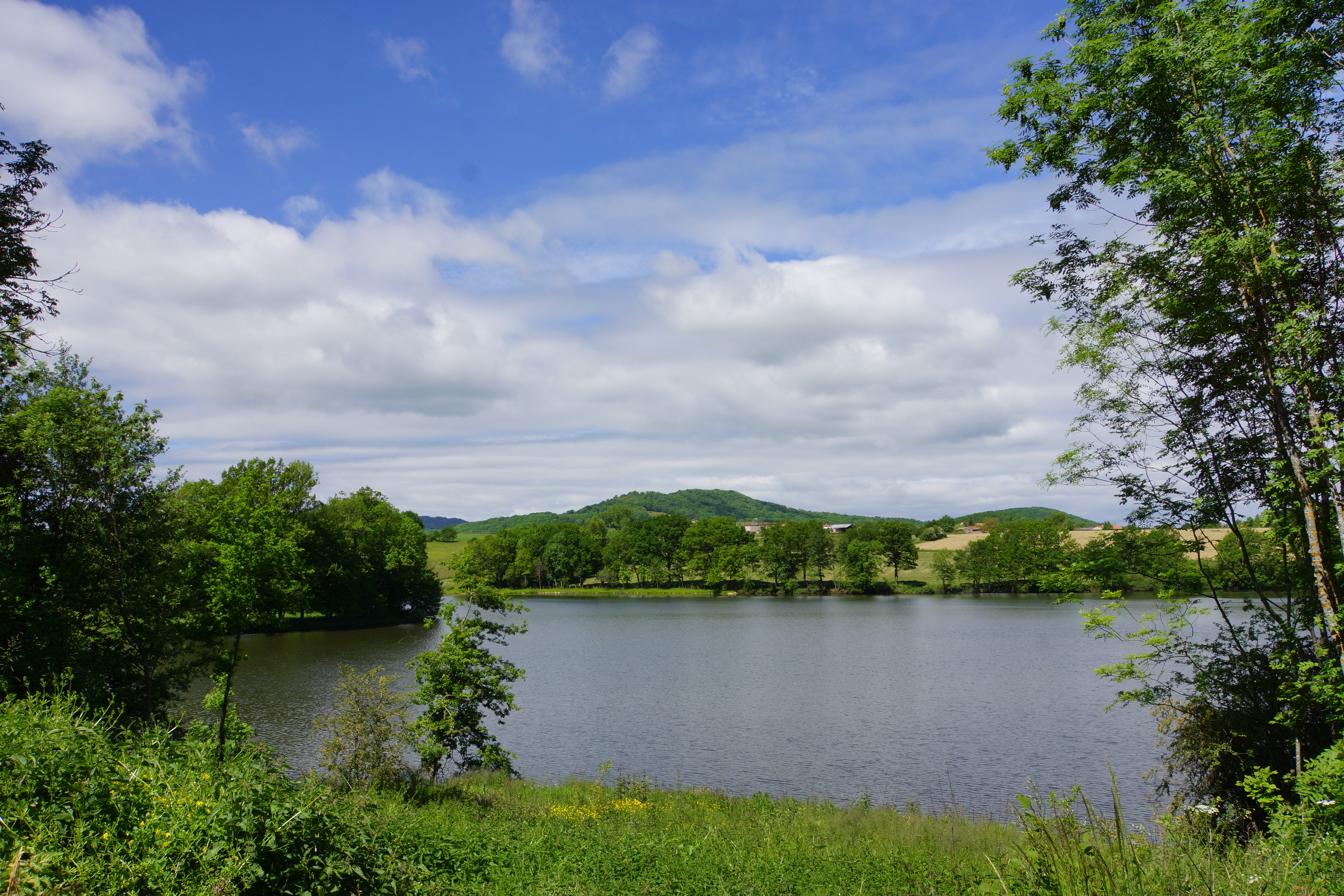
Vue sur l'étang des Maures
Captured by Maison du Tourisme Sébastien Giraud
Explore Nearby
Livradois Circuit — The Châteaux of Livradois (Loop No. 4)
This circuit offers a journey through time, from the Gallo-Roman period to the age of knights.

Weekend Circuit: Égliseneuve-près-Billom–Saint-Jean-des-Ollières
Explore this weekend circuit through the Madet valley, past Château de Mauzun and above Étang des Maures, with fine views of the Chaîne des Puys, the Monts Dore and the Forez mountains.

Entre Comté et Pays d'Issoire (circuit route n°17)
Discover this trail through the heart of Livradois-Forez.