
Elevation Profile
408–612 m
From the car park below the hamlet, descend the road towards Bouys.
(1) In the valley, just before the farm, cross the bridge on the left and continue on the track climbing to the left. At the junction, climb the track at right angles on the right. Stay on this good track all the way to Arlanges (view of Château de Mauzun). In the hamlet (winegrowers’ houses), continue on the road (view to the right over the Madet Valley, the châteaux of Coppel, Busséol and Montmorin, Puy Saint-Romain, the Chaîne des Puys, Clermont-Ferrand, Billom and the two Turlurons).
(2) 150 m before Le Pereyret, leave the road and turn right onto a track descending between two fences. Continue on this same track through the woods (seat-shaped rock).
(3) At the next junction, descend to the right on a faint, fitted-out path (log steps: the descent is dangerous in wet weather). Stay on this same path to the stream, then turn left.
(4) Use the footbridge to cross the Madet stream; climb the track on the left.
(5) At the fork, descend to the left towards the Madet. At the mill ruins, take the path on the right. Climb above a rocky section, then at the fork turn left to descend to the river (the descent is fitted out on the right, but the steps are slippery in wet weather) and follow the stream. Beneath the ruined tower, at the fork, take the sometimes-paved track climbing in bends to the right and stay on this same track.
(6) At the first houses of Les Loubatoux, take the track climbing to the right; at the road, continue straight ahead into the hamlet, then turn right. Follow the D 307 to the right.
(7) Take the first track on the right (views of the Chaîne des Puys and the Massif du Sancy). At the junction (view straight ahead over the Madet Valley), continue climbing to the left (at the top of the hill on your left: panorama and orientation table). Continue on the same track, then at the junction turn left to the D 307. Follow it to the right to the village of Train (winegrowing village), then continue on the same road to the starting point.
At a Glance
- Duration
- 2.5hrs
- Distance
- 8.0km
- Elevation +
- +311 m
- Elevation -
- -307 m
At a Glance
Live Weather
Departure / Arrival · Les Pierrys
Live conditions
—
Feels like
—
Wind / gusts
—
Visibility
—
Updated: —
Field notes and images
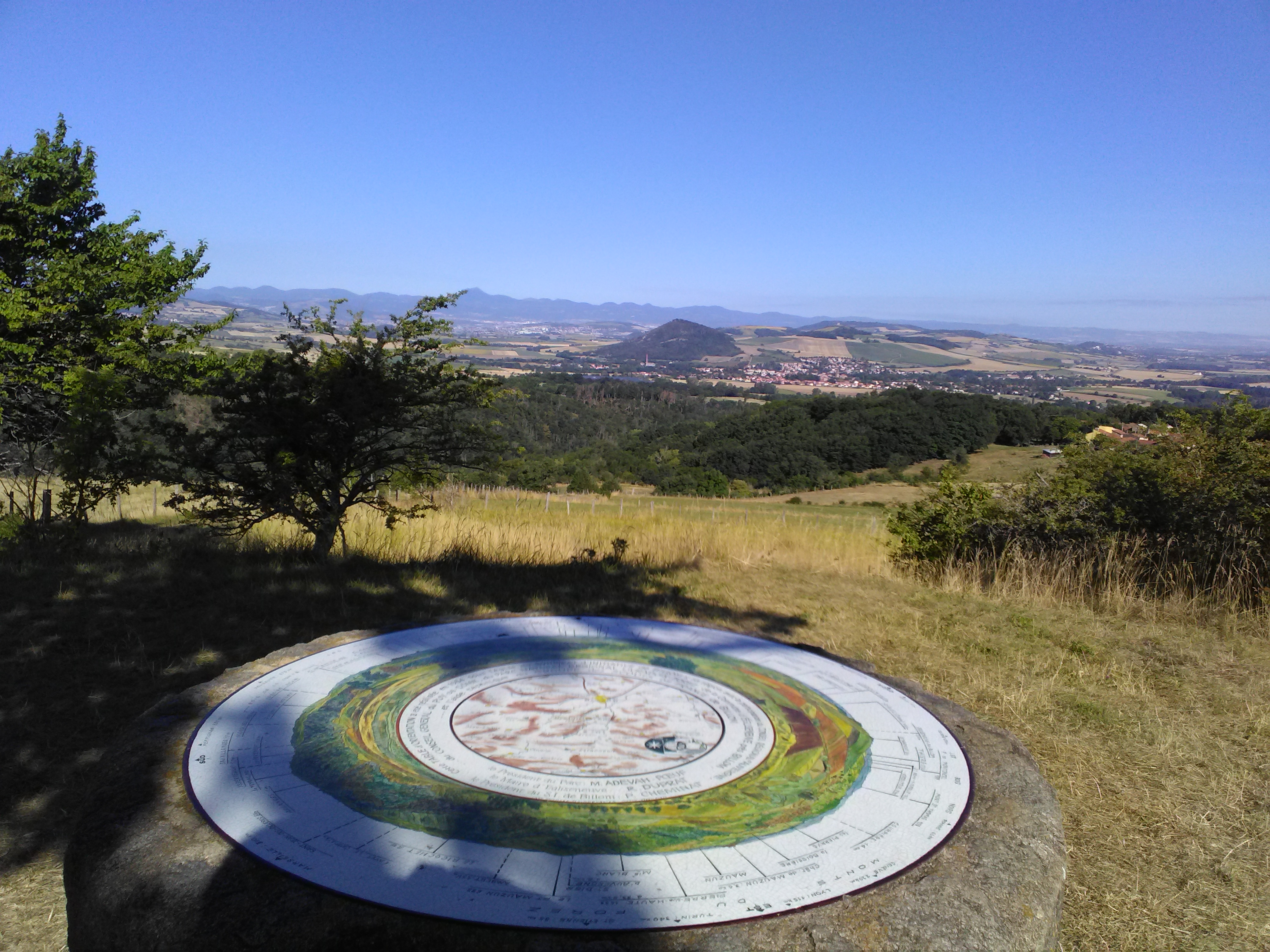
Vue depuis la table d'orientation
Captured by Maison du Tourisme
Explore Nearby
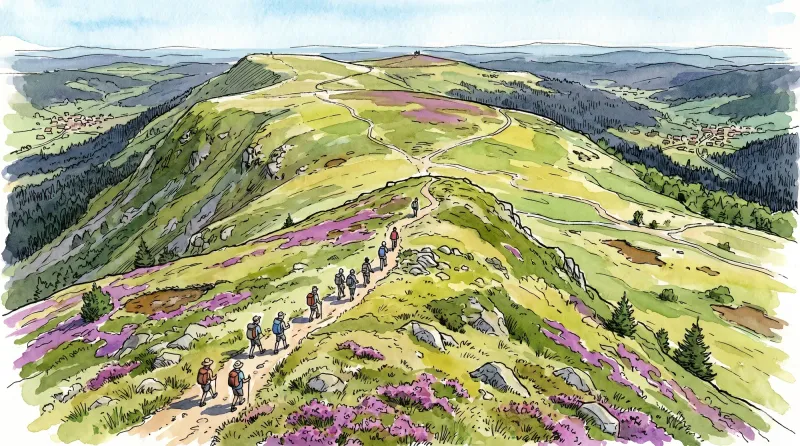
Livradois Circuit — The Châteaux of Livradois (Loop No. 4)
This circuit offers a journey through time, from the Gallo-Roman period to the age of knights.

Weekend Circuit: Égliseneuve-près-Billom–Saint-Jean-des-Ollières
Explore this weekend circuit through the Madet valley, past Château de Mauzun and above Étang des Maures, with fine views of the Chaîne des Puys, the Monts Dore and the Forez mountains.

Entre Comté et Pays d'Issoire (circuit route n°17)
Discover this trail through the heart of Livradois-Forez.