
Illustration in progress
The geography of Égliseneuve-près-Billom is defined by an elegant fragmentation, where the human presence is scattered across forty distinct hamlets rather than clustered around a singular core. This creates a rhythmic journey through the landscape, where the eye is drawn to the interplay of high-altitude meadows and dense woodland that covers nearly a quarter of the territory. Traversing the undulating terrain between the heights of 640 meters and the lower valleys, one encounters the silvered grain of ancient stone in places like Arlanges or the mysterious, evocative syllables of the hamlet known simply as Train.
Historical weight here is felt through the absence and restoration of names, most notably during the radical shifts of the French Revolution. For a brief, intense period in the late 18th century, the commune cast aside its clerical identity to become Beauvallon, a title celebrating the aesthetic of its own topography. This secular ghost continues to haunt the local culture, re-emerging every June during a festival dedicated to French chanson, which infuses the rural silence with a contemporary lyrical vitality that honors the village’s brief Republican reinvention.
The architectural centerpiece remains the parish church, a structure that anchors the disparate hamlets with its stoic presence and noble, weathered lines. Exposed to the shifting temperament of the Massif Central’s northern fringes, the local masonry bears the patina of a climate characterized by cool summers and a persistent, nourishing humidity. Wandering the periphery of the village, the visitor observes a terroir dominated by grazing lands and variegated agricultural plots, where the ancient boundaries of the Livradois-Forez are traced in the very texture of the soil and the sprawling reach of the surrounding forests.
Local profile
At a Glance
- Population
- 937
- Demonym
- Égliseneuvois
- Altitude
- 356–640 m
- Forest
- 23.6%
residents
local residents
lowest to highest
commune coverage
Did You Know?
“During the National Convention of 1792-1795, the village shed its ecclesiastical name for the more secular and evocative "Beauvallon," a title that survives today as the name of a local music festival.”
Cultural Heritage
A quiet village with authentic Auvergne charm.
Recent Wildlife & Flora Log
Nature observations recorded within 5km of Égliseneuve-près-Billom.
Moth
Western Green Lacerta
Hawfinch
Iberodorcadion fuliginator (Linnaeus, 1758)
Aesculapean Snake
Corzo
Silver-washed Fritillary
Calopteryx virgo meridionalis Selys, 1873
Blue Featherleg
Common Coot
Trails around Égliseneuve-près-Billom
Discover physical challenges and natural beauty in the immediate vicinity.
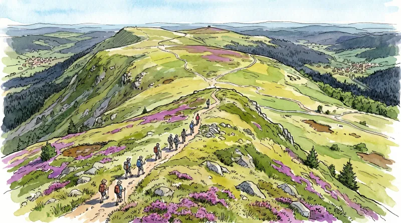
Livradois Circuit — The Châteaux of Livradois (Loop No. 4)
This circuit offers a journey through time, from the Gallo-Roman period to the age of knights.

Weekend Circuit: Égliseneuve-près-Billom–Saint-Jean-des-Ollières
Explore this weekend circuit through the Madet valley, past Château de Mauzun and above Étang des Maures, with fine views of the Chaîne des Puys, the Monts Dore and the Forez mountains.
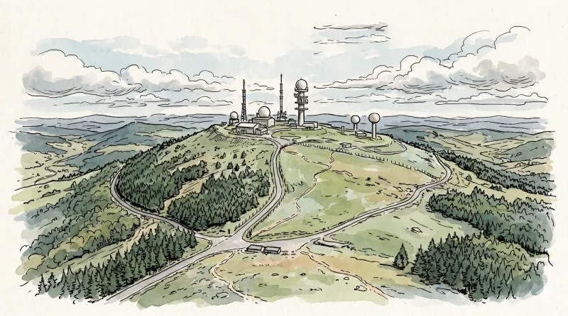
The Madet Valley
From the car park below the hamlet, descend the road towards Bouys. (1) In the valley, just before the farm, cross the bridge on the left and continue on the track climbing to the left. At the junction, climb the track at right angles on the right. Stay on this good track all the way to Arlanges (view of Château de Mauzun). In the hamlet (winegrowers’ houses), continue on the road (view to the right over the Madet Valley, the châteaux of Coppel, Busséol and Montmorin, Puy Saint-Romain, the Chaîne des Puys, Clermont-Ferrand, Billom and the two Turlurons). (2) 150 m before Le Pereyret, leave the road and turn right onto a track descending between two fences. Continue on this same track through the woods (seat-shaped rock). (3) At the next junction, descend to the right on a faint, fitted-out path (log steps: the descent is dangerous in wet weather). Stay on this same path to the stream, then turn left. (4) Use the footbridge to cross the Madet stream; climb the track on the left. (5) At the fork, descend to the left towards the Madet. At the mill ruins, take the path on the right. Climb above a rocky section, then at the fork turn left to descend to the river (the descent is fitted out on the right, but the steps are slippery in wet weather) and follow the stream. Beneath the ruined tower, at the fork, take the sometimes-paved track climbing in bends to the right and stay on this same track. (6) At the first houses of Les Loubatoux, take the track climbing to the right; at the road, continue straight ahead into the hamlet, then turn right. Follow the D 307 to the right. (7) Take the first track on the right (views of the Chaîne des Puys and the Massif du Sancy). At the junction (view straight ahead over the Madet Valley), continue climbing to the left (at the top of the hill on your left: panorama and orientation table). Continue on the same track, then at the junction turn left to the D 307. Follow it to the right to the village of Train (winegrowing village), then continue on the same road to the starting point.
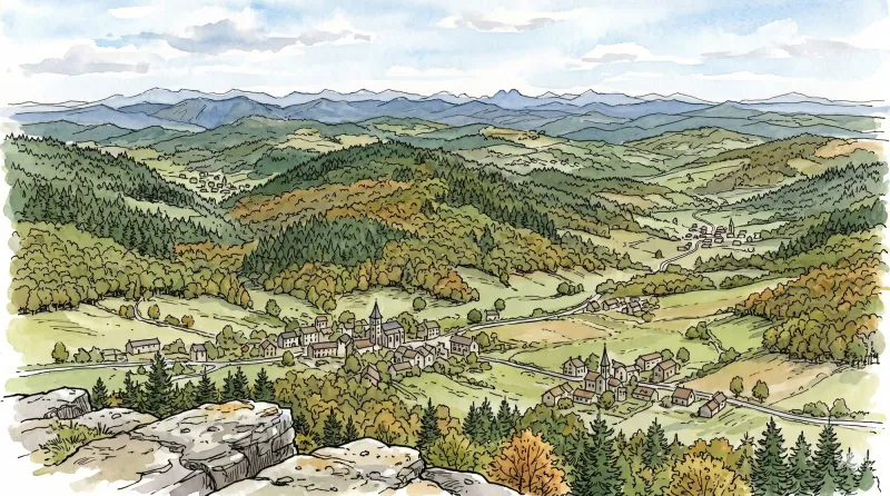
Bas-Livradois (Road Circuit No. 4)
After admiring the Romanesque priory church at Glaine-Montaigut, pause in Billom, a beautiful medieval town, before climbing the first Livradois foothills to Château de Montmorin and the imposing fortress of Mauzun.
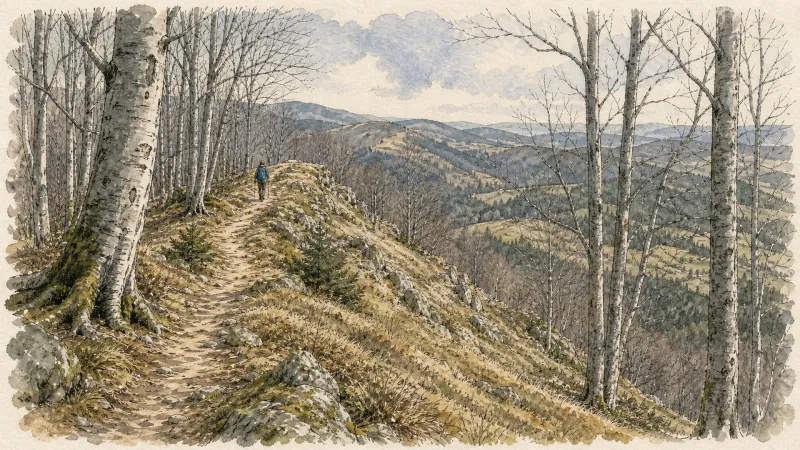
Le Mas, a Wine-Growing Village
This 4.6 km loop starts and finishes at Egliseneuve-Près-Billom, with 98 m of ascent and an estimated duration of 1 hr 15 min.
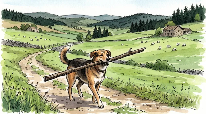
In the Footsteps of Jean de la Nuit
This 4.9 km loop starts and finishes at Egliseneuve-Près-Billom, with 156 m of ascent and an estimated duration of 2 hours.
Explore Nearby
Complement your visit to Égliseneuve-près-Billom by exploring these neighboring villages.
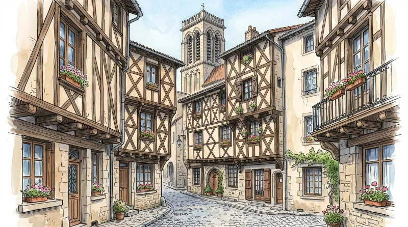
Billom
A medieval merchant capital known as the "Tuscany of Auvergne," where timber-framed architecture and a prestigious academic past define the landscape.
Bongheat
A sophisticated transit point between the Limagne plains and the Livradois highlands, characterized by feudal towers and golden arkose stone.
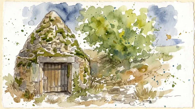
Fayet-le-Château
A high-altitude granite sanctuary where ancient beech forests meet the remnants of a master stone-cutting heritage and prehistoric megaliths.
Glaine-Montaigut
An encounter with Byzantine echoes and feudal legacies, where 12th-century frescoes and the ruins of noble seats punctuate a landscape of high pastures and ancient stone.
Mauzun
A formidable journey into the ruins of Auvergne’s most expansive medieval fortress, where basalt peaks meet the echoes of episcopal power.
Montmorin
A high-altitude feudal stronghold offering a vertical journey through Auvergne’s noble past, anchored by a fortress that once commanded the strategic routes of the Livradois-Forez.


