
Illustration in progress
Rising from a singular volcanic plug, Mauzun commands the horizon with an authority that belies its status as the smallest commune in the Puy-de-Dôme. Its name, rooted in the Gaulish magos and dunum, evokes an ancient “fortified market,” a site where commerce and defense were inextricably linked to the steep topography of the Massif Central. The landscape here is defined by an almost total devotion to pastoral rhythms; emerald meadows carpet over ninety percent of the territory, creating a stark, verdant contrast against the dark, jagged basalt that crowns the heights. This geological prominence once dictated the flow of power across the region, making it a natural focal point for those seeking to control the passage between the plains and the mountains.
The skeletal silhouette of the Château de Mauzun remains the most formidable encounter in the local landscape, serving as a visceral reminder of what was once the largest stronghold in the Auvergne. Erected by the powerful bishops of Clermont in the 13th century, the site originally boasted three concentric defensive walls and a staggering array of nineteen towers. Though Cardinal Richelieu ordered its systematic dismantling in 1634 to suppress the influence of the provincial nobility, the four principal towers still puncture the sky, their weathered masonry revealing the grit of centuries. Navigating the perimeter of these ruins reveals the sheer scale of episcopal ambition, where the density of the stone and the strategic height of the basaltic butte combined to create an impenetrable feudal symbol.
Below the heights, the village exists in a symbiotic embrace with its fallen titan, as the very fabric of the local dwellings was hewn from the fortress’s discarded remains. This architectural recycling has granted the hamlet a unique aesthetic continuity, where the sturdy blocks of former ramparts now form the lintels and hearths of quiet homes. The atmosphere is characterized by a profound stillness, punctuated only by the mountain winds that sweep across the volcanic slopes. An afternoon spent traversing these narrow lanes offers an intimate encounter with a community literally built from the debris of history, where the boundary between a noble ruin and a living settlement has blurred into a singular, enduring narrative of stone.
Local profile
At a Glance
- Population
- 140
- Demonym
- —
- Altitude
- 500–652 m
- Forest
- 4.2%
residents
local residents
lowest to highest
commune coverage
Did You Know?
“The village houses were largely constructed using salvaged volcanic stones scavenged from the fortress after its 17th-century demolition.”
Cultural Heritage
Protected historic monuments in Mauzun
Château fort de Mauzun
Mauzun
Villa Le Chalay
Mauzun
Recent Wildlife & Flora Log
Nature observations recorded within 5km of Mauzun.
Lamium purpureum L.
Common Wall Lizard
Awnless Geranium
Addersmeat
Lamium album L.
Common Cornsalad
Hawfinch
Corzo
Light Emerald
Graphosoma italicum italicum
Trails around Mauzun
Discover physical challenges and natural beauty in the immediate vicinity.
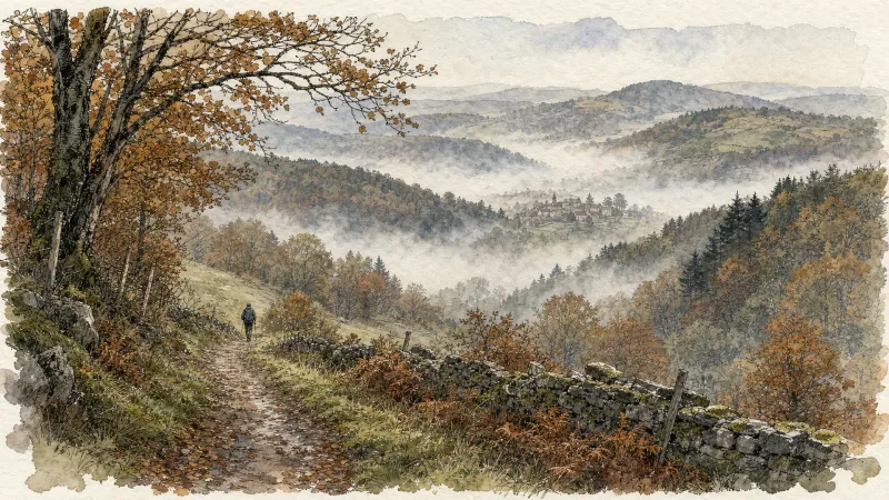
Around the towers and castles
Departure: Take the alley to the left of the town hall which runs alongside the village hall. 20 m further, at the fork, take the path on the left between the stone houses. Cross the D 303, and take the road opposite. In the village of Audigier, turn right to pass between the houses. At the fork, at the exit of the hamlet, continue right on the path. At the Sardiats stream, continue on the same path (view of the Château de Mauzun on the left). 1. At the D 20, take it on the right for 400 m; then at the next crossroads, turn right towards Puy Gentil. At the hamlet, go up left to the D 152. Take it on the right to enter Neuville (view on the left of Clermont-Fd, the Chaîne des Puys and the Château de Ravel). In Neuville, opposite the church, turn left then immediately right after the fountain (direction Les Peux); then 10 m further, turn left (view on the left of the ruined Neuville tower). 2. At the next crossroads, turn right. Cross the village of Peux (view of the Mauzun castle slightly on the left, the Puys chain and the Sancy massif, Billom, Clermont-Fd). In the hamlet of Pireyre, at the crossroads, turn left. At the last houses, leave the road and take the path which goes up to the left (view of the Mauzun castle, Bongheat in the foreground and the Sancy massif in the background on the right, Château des Salles, Billom, Clermont-Ferrand, the Limagne plain and the Puys chain completely on the right). At the crossroads of 5 paths, take the opposite direction and pass next to the Château du Cheix. 3. At the D 303, take it on the right. 200 m further, turn left to enter the village of Herment. At the exit, continue to the right on the road which becomes a grassy path (view of the Mauzun castle on the left) then follow the D 303 on the left. At the level of the lake, take the sunken path which rises to the left and continue on this same path to Bel Air (100 m after Bel Air: view of the Mauzun castle opposite, the Sancy massif and the Puys chain slightly to the right). 4. At the crossroads, at the road (view of Thiers on the left, the Forez mountains opposite, the Mauzun castle, Sancy massif and Puys chain on the right) turn right. At the D 7, follow it for 50 m and turn immediately right. Cross the hamlet of La Montagne. 5. At the entrance to Mauzun, turn right, and, at the wrought iron cross, immediately go up to the left to pass between the houses then turn right to join the D 20. Take it on the right, skirt the chapel then the covered market. At the next crossroads, turn right onto the D 20 (direction Bongheat). At the Place des Grolles, (possibility of going up to the Château de Mauzun) take the path between two houses at the back of the square. At the crossroads (nice view), go down opposite and continue on this same path. 6. At the fork, continue to descend to the left (ignore the stony path). Walk along the cemetery, and at the road, turn left to enter Bongheat.

Weekend Circuit: Égliseneuve-près-Billom–Saint-Jean-des-Ollières
Explore this weekend circuit through the Madet valley, past Château de Mauzun and above Étang des Maures, with fine views of the Chaîne des Puys, the Monts Dore and the Forez mountains.

Entre Comté et Pays d'Issoire (circuit route n°17)
Discover this trail through the heart of Livradois-Forez.
Château de Mauzun
On land inhabited since prehistoric times, Château de Mauzun, once a residence of the bishops of Clermont, overlooks farms and hamlets scattered across the poor soil.
Le château de Mauzun (circuit route n°9)
Discover this trail through the heart of Livradois-Forez.
Explore Nearby
Complement your visit to Mauzun by exploring these neighboring villages.
Bongheat
A sophisticated transit point between the Limagne plains and the Livradois highlands, characterized by feudal towers and golden arkose stone.
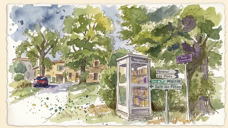
Estandeuil
A serene landscape of high meadows and medieval remnants, where a 12th-century fortress and a historic church stand amidst the deep forests of the Livradois.


