
Illustration in progress
Positioned at the threshold where the fertile Limagne plain meets the rugged Saint-Dier basin, Bongheat presents a landscape defined by an undulating topography that climbs from 363 to over 600 meters. The territory is not a singular village but a sophisticated arrangement of twenty-two distinct hamlets, including Herment and La Roche, scattered across a terrain where agricultural meadows transition into deep woodlands. Travelers navigating the rural roads will observe a rhythmic shift in the environment, as the open horizons of the lowlands give way to the more intimate, forested enclosures of the Livradois-Forez highlands.
The architectural heritage of the commune is anchored by two significant aristocratic estates that speak to centuries of Auvergnat history. The Château des Salles, dating from the early sixteenth century, showcases the characteristic use of arkose—a local sandstone—complemented by a roof of traditional flat tiles that reflects the clear mountain light. Older still is the Château de Brossolières, where a formidable square tower remains from the Romanesque era, standing as a stern stone witness to the twelfth-century feudal landscape. These structures provide a visual dialogue between the medieval defensive past and the refined manor house aesthetics of the Renaissance.
An afternoon wandering through the commune reveals the enduring textures of a land shaped by both water and wood. The ancient Herment mill stands by the stream as a relic of pre-industrial ingenuity, while the village church provides a somber, stone-walled center for the Bongheatois residents. With thirty percent of the land draped in forest, the higher altitudes offer a cool, shaded contrast to the sun-drenched prairies below. This is a destination for those who appreciate the quiet gravity of ancient masonry and the slow, deliberate pace of a community that has persisted since its Gallo-Roman inception.
Local profile
At a Glance
- Population
- 465
- Demonym
- Bongheatois
- Altitude
- 363–621 m
- Forest
- 30%
residents
local residents
lowest to highest
commune coverage
Did You Know?
“The commune's name is derived from "Bombiacus," indicating its origin as a Gallo-Roman estate belonging to a man named Bombius.”
Cultural Heritage
Protected historic monuments in Bongheat
Eglise Saint-Julien
Bongheat
Recent Wildlife & Flora Log
Nature observations recorded within 5km of Bongheat.
Hawfinch
Iberodorcadion fuliginator (Linnaeus, 1758)
Meadow Brown
Corzo
Silver-washed Fritillary
Blue Featherleg
Common Coot
Banded Agrion
Speckled Wood
Anoplotrupes stercorosus (Hartmann, 1791)
Trails around Bongheat
Discover physical challenges and natural beauty in the immediate vicinity.
Around the towers and castles
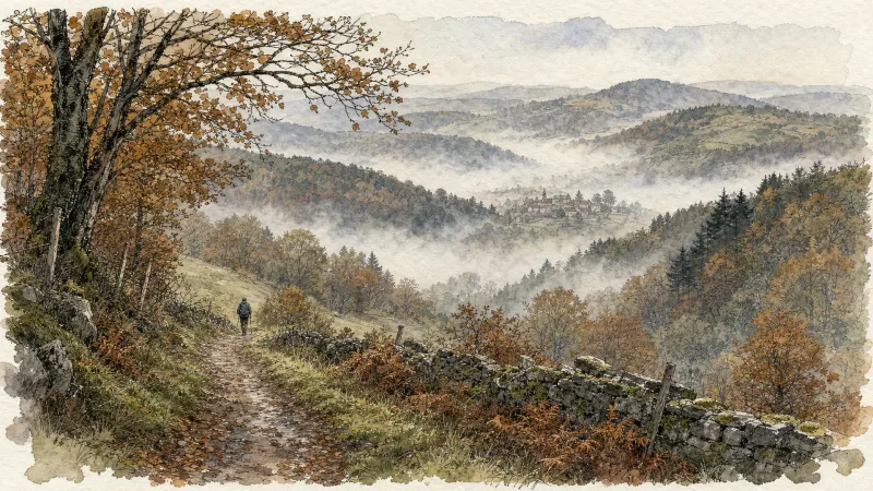
Departure: Take the alley to the left of the town hall which runs alongside the village hall. 20 m further, at the fork, take the path on the left between the stone houses. Cross the D 303, and take the road opposite. In the village of Audigier, turn right to pass between the houses. At the fork, at the exit of the hamlet, continue right on the path. At the Sardiats stream, continue on the same path (view of the Château de Mauzun on the left). 1. At the D 20, take it on the right for 400 m; then at the next crossroads, turn right towards Puy Gentil. At the hamlet, go up left to the D 152. Take it on the right to enter Neuville (view on the left of Clermont-Fd, the Chaîne des Puys and the Château de Ravel). In Neuville, opposite the church, turn left then immediately right after the fountain (direction Les Peux); then 10 m further, turn left (view on the left of the ruined Neuville tower). 2. At the next crossroads, turn right. Cross the village of Peux (view of the Mauzun castle slightly on the left, the Puys chain and the Sancy massif, Billom, Clermont-Fd). In the hamlet of Pireyre, at the crossroads, turn left. At the last houses, leave the road and take the path which goes up to the left (view of the Mauzun castle, Bongheat in the foreground and the Sancy massif in the background on the right, Château des Salles, Billom, Clermont-Ferrand, the Limagne plain and the Puys chain completely on the right). At the crossroads of 5 paths, take the opposite direction and pass next to the Château du Cheix. 3. At the D 303, take it on the right. 200 m further, turn left to enter the village of Herment. At the exit, continue to the right on the road which becomes a grassy path (view of the Mauzun castle on the left) then follow the D 303 on the left. At the level of the lake, take the sunken path which rises to the left and continue on this same path to Bel Air (100 m after Bel Air: view of the Mauzun castle opposite, the Sancy massif and the Puys chain slightly to the right). 4. At the crossroads, at the road (view of Thiers on the left, the Forez mountains opposite, the Mauzun castle, Sancy massif and Puys chain on the right) turn right. At the D 7, follow it for 50 m and turn immediately right. Cross the hamlet of La Montagne. 5. At the entrance to Mauzun, turn right, and, at the wrought iron cross, immediately go up to the left to pass between the houses then turn right to join the D 20. Take it on the right, skirt the chapel then the covered market. At the next crossroads, turn right onto the D 20 (direction Bongheat). At the Place des Grolles, (possibility of going up to the Château de Mauzun) take the path between two houses at the back of the square. At the crossroads (nice view), go down opposite and continue on this same path. 6. At the fork, continue to descend to the left (ignore the stony path). Walk along the cemetery, and at the road, turn left to enter Bongheat.
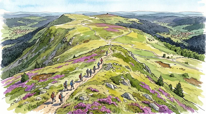
Livradois Circuit — The Châteaux of Livradois (Loop No. 4)
This circuit offers a journey through time, from the Gallo-Roman period to the age of knights.

Weekend Circuit: Égliseneuve-près-Billom–Saint-Jean-des-Ollières
Explore this weekend circuit through the Madet valley, past Château de Mauzun and above Étang des Maures, with fine views of the Chaîne des Puys, the Monts Dore and the Forez mountains.
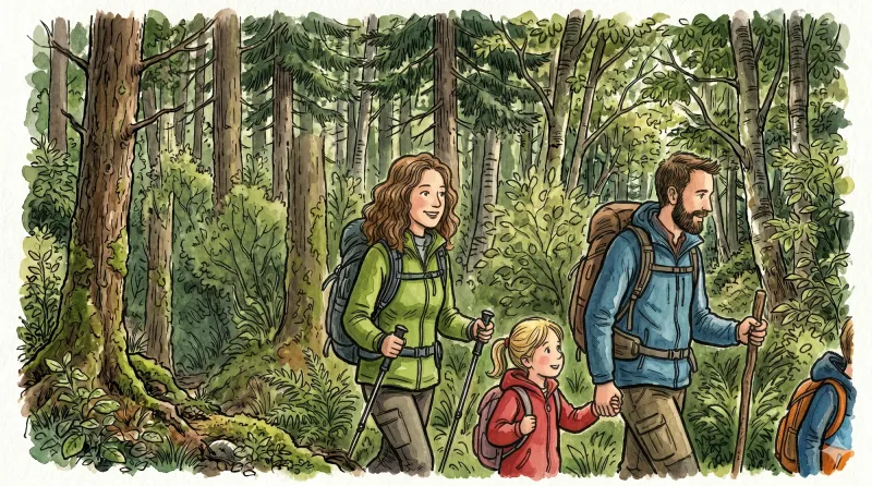
Entre Comté et Pays d'Issoire (circuit route n°17)
Discover this trail through the heart of Livradois-Forez.
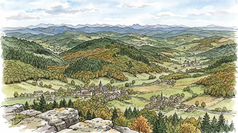
Bas-Livradois (Road Circuit No. 4)
After admiring the Romanesque priory church at Glaine-Montaigut, pause in Billom, a beautiful medieval town, before climbing the first Livradois foothills to Château de Montmorin and the imposing fortress of Mauzun.
Le château de Mauzun (circuit route n°9)
Discover this trail through the heart of Livradois-Forez.
Explore Nearby
Complement your visit to Bongheat by exploring these neighboring villages.
Égliseneuve-près-Billom
A landscape of scattered hamlets and rolling meadows where Revolutionary history meets the quiet intensity of the Livradois-Forez.
Estandeuil
A serene landscape of high meadows and medieval remnants, where a 12th-century fortress and a historic church stand amidst the deep forests of the Livradois.
Glaine-Montaigut
An encounter with Byzantine echoes and feudal legacies, where 12th-century frescoes and the ruins of noble seats punctuate a landscape of high pastures and ancient stone.
Mauzun
A formidable journey into the ruins of Auvergne’s most expansive medieval fortress, where basalt peaks meet the echoes of episcopal power.
Neuville
A pastoral commune where the fourteenth-century towers of Château de Cheix stand guard over rolling prairies and the intellectual legacy of Pierre Teilhard de Chardin.
Trézioux
A landscape defined by ancient viticultural traditions and Romanesque sobriety, offering a quiet meditation on the rural rhythms of the Livradois-Forez.


