
Illustration in progress
The name Trézioux carries the ghost of an ancient vineyard, a linguistic relic of the parler thiernois. In this dialect, the “Three Eyes” signify the precision of the vintner’s blade, marking the third bud where the vine was traditionally severed to ensure a robust harvest. Today, the landscape has traded its grapes for wide stretches of emerald prairie, though the settlement remains an intricate web of over forty hamlets scattered across the undulating terrain. To wander through these hamlets, from the granite shadows of Lachal to the open heights of Bel-Air, is to witness the deliberate, slow-motion dispersal of Auvergnat life across a canvas of shifting altitudes and ancient agricultural boundaries.
At the heart of the commune stands the Église Saint-Saturnin, an austere sentinel of Romanesque devotion dating back to the late 11th century. Its inclusion on the register of historical monuments is a testament to the endurance of its masonry, which has weathered centuries of mountain winters. The stone reflects a somber, grounded beauty, devoid of the exuberant flourishes found in urban cathedrals, favoring instead the clean, noble lines of the early medieval period. Within its quiet interior, the air holds a stillness that invites a pause in one’s afternoon journey, a moment to contemplate the spiritual architecture of the Livradois that has remained largely unchanged for nearly a millennium.
Elevation defines the rhythm of this territory, climbing from the lower valleys at 377 meters toward the forested crests that peak at over 600 meters. The climate here is one of transition, where the soft breath of the Limagne plain meets the sharper, more authoritative bite of the Massif Central’s northern margins. Dense clusters of Scots pine and deciduous woodland cover nearly a fifth of the land, providing a dark, textured contrast to the vibrant agricultural mosaic of the fields. It is a destination of subtle gradients and quiet elevations, perfect for those seeking to observe the unhurried interplay between the ancient forest and the persistence of the pastoral tradition.
Local profile
At a Glance
- Population
- 502
- Demonym
- —
- Altitude
- 377–617 m
- Forest
- 18.2%
residents
local residents
lowest to highest
commune coverage
Did You Know?
“The name Trézioux is derived from the local Thiernois dialect for "Three Eyes," a reference to the traditional method of pruning vines above the third bud.”
Cultural Heritage
Protected historic monuments in Trézioux
Eglise Saint-Saturnin
Trézioux
Recent Wildlife & Flora Log
Nature observations recorded within 5km of Trézioux.
Wood Anemone
Creeping Charlie
Fig buttercup
Hawfinch
Humming-Bird Hawk-Moth
Great Peacock Moth
Jersey Tiger
European Serin
Speckled Wood
Anoplotrupes stercorosus (Hartmann, 1791)
Trails around Trézioux
Discover physical challenges and natural beauty in the immediate vicinity.
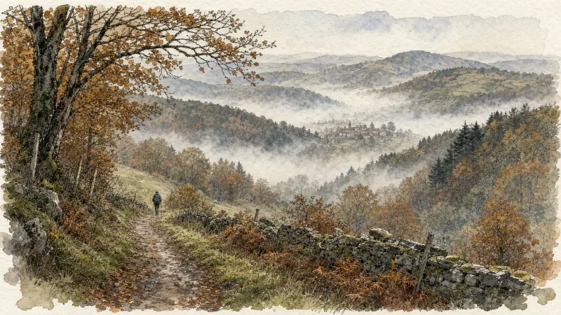
Around the towers and castles
Departure: Take the alley to the left of the town hall which runs alongside the village hall. 20 m further, at the fork, take the path on the left between the stone houses. Cross the D 303, and take the road opposite. In the village of Audigier, turn right to pass between the houses. At the fork, at the exit of the hamlet, continue right on the path. At the Sardiats stream, continue on the same path (view of the Château de Mauzun on the left). 1. At the D 20, take it on the right for 400 m; then at the next crossroads, turn right towards Puy Gentil. At the hamlet, go up left to the D 152. Take it on the right to enter Neuville (view on the left of Clermont-Fd, the Chaîne des Puys and the Château de Ravel). In Neuville, opposite the church, turn left then immediately right after the fountain (direction Les Peux); then 10 m further, turn left (view on the left of the ruined Neuville tower). 2. At the next crossroads, turn right. Cross the village of Peux (view of the Mauzun castle slightly on the left, the Puys chain and the Sancy massif, Billom, Clermont-Fd). In the hamlet of Pireyre, at the crossroads, turn left. At the last houses, leave the road and take the path which goes up to the left (view of the Mauzun castle, Bongheat in the foreground and the Sancy massif in the background on the right, Château des Salles, Billom, Clermont-Ferrand, the Limagne plain and the Puys chain completely on the right). At the crossroads of 5 paths, take the opposite direction and pass next to the Château du Cheix. 3. At the D 303, take it on the right. 200 m further, turn left to enter the village of Herment. At the exit, continue to the right on the road which becomes a grassy path (view of the Mauzun castle on the left) then follow the D 303 on the left. At the level of the lake, take the sunken path which rises to the left and continue on this same path to Bel Air (100 m after Bel Air: view of the Mauzun castle opposite, the Sancy massif and the Puys chain slightly to the right). 4. At the crossroads, at the road (view of Thiers on the left, the Forez mountains opposite, the Mauzun castle, Sancy massif and Puys chain on the right) turn right. At the D 7, follow it for 50 m and turn immediately right. Cross the hamlet of La Montagne. 5. At the entrance to Mauzun, turn right, and, at the wrought iron cross, immediately go up to the left to pass between the houses then turn right to join the D 20. Take it on the right, skirt the chapel then the covered market. At the next crossroads, turn right onto the D 20 (direction Bongheat). At the Place des Grolles, (possibility of going up to the Château de Mauzun) take the path between two houses at the back of the square. At the crossroads (nice view), go down opposite and continue on this same path. 6. At the fork, continue to descend to the left (ignore the stony path). Walk along the cemetery, and at the road, turn left to enter Bongheat.
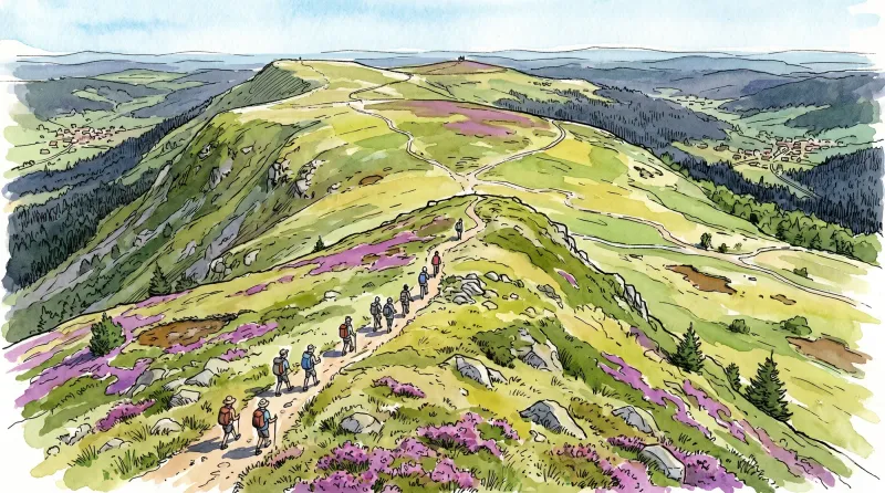
Livradois Circuit — The Châteaux of Livradois (Loop No. 4)
This circuit offers a journey through time, from the Gallo-Roman period to the age of knights.
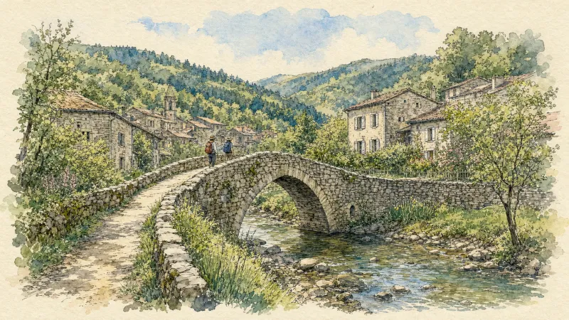
En passant par Olliergues (circuit route n°15)
Discover this trail through the heart of Livradois-Forez.
Entre Comté et Pays d'Issoire (circuit route n°17)
Discover this trail through the heart of Livradois-Forez.

The Grüns Circuit
Start: From the community hall in Trézioux, take the road to the left towards Courpière. By the war memorial, turn right and continue to the village of L’Orme. Enter the village and turn onto the surfaced road descending to the left. Cross the village of “La Monnerie” and descend the track to the T-junction. Turn right, then right again at the next junction. Cross the village of “Espinasse” straight ahead to reach the D7. 1: Follow it to the left for 50m, then take the track straight ahead. Pass alongside the Grün de Paillat (an optional return trip on the right climbs to the summit, with views of the Chaîne des Puys, the Massif du Sancy and the Monts du Livradois-Forez) until you reach the D7 again. Turn onto the first track on the right and continue straight ahead to the village of “Bourchany”. In the centre of the village, turn onto the road on the left, then branch onto the track straight ahead. Keep to the main track to the village of Le Bost. In the centre of the village, turn onto the track on the right and continue to the surfaced road. 2: Follow it to the left and cross the village of Gatignoux on the right. Stay on the main track to the surfaced road. Follow it to the right for 50m, then turn onto the track on the left. Stay on the main track as it passes around Grün de Côte and continue to the next junction of several roads after the village of “Combas”. (The route can be shortened by 5.5 km by taking the road climbing to the right). 3: Take the road on the left and cross the village of Talley. Continue on the track descending straight ahead to the river. Turn onto the track climbing to the right and stay on the main track to the surfaced road. Take the road straight ahead, passing a reservoir on your left. 4: Turn right onto the D7 for 50m, then take the track on the right to the village of “Goile”. At the entrance to the village, climb the surfaced road on the left (views of the Chaîne des Puys and the Massif du Sancy) until you reach the D7 again. Follow it to the right and cross the village of “La Gérie”. At the entrance to Trézioux, turn onto the surfaced road on the right and continue straight ahead to return to the community hall where the walk began.
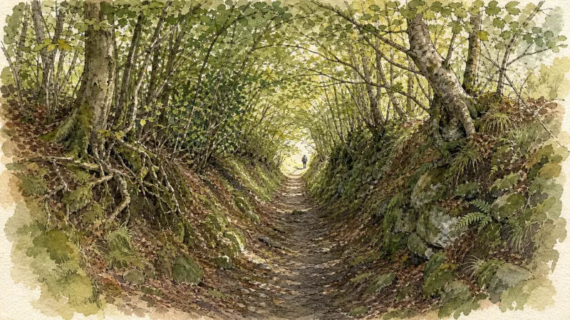
The Lilion Valley (Circuit No. 11)
This very undulating waymarked route explores the attractive Lilion valley around Sermentizon. Its western section also offers beautiful panoramas of the Auvergne volcanoes.
Explore Nearby
Complement your visit to Trézioux by exploring these neighboring villages.
Bongheat
A sophisticated transit point between the Limagne plains and the Livradois highlands, characterized by feudal towers and golden arkose stone.
Courpière
A river-hugging town where Roman pottery kilns and Cluniac priories meet the childhood echoes of Coco Chanel.
Estandeuil
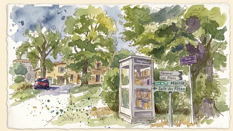
A serene landscape of high meadows and medieval remnants, where a 12th-century fortress and a historic church stand amidst the deep forests of the Livradois.
Neuville
A pastoral commune where the fourteenth-century towers of Château de Cheix stand guard over rolling prairies and the intellectual legacy of Pierre Teilhard de Chardin.
Sermentizon
A refined excursion into the Forez foothills, where the feudal grandeur of the Château d'Aulteribe meets the ancient textures of pisé architecture.


