
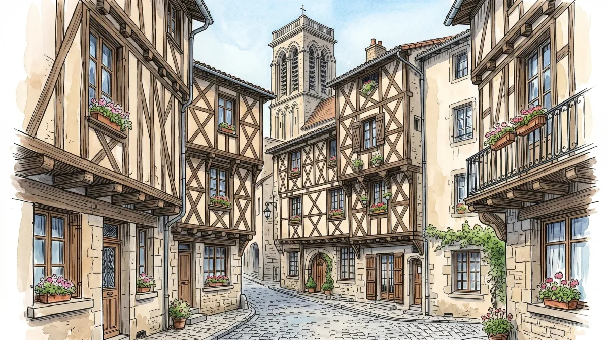
Billom stands as the self-appointed capital of the Auvergnat Tuscany, where the soft undulations of the Limagne plain meet the rising density of the Livradois forests. The town’s silhouette is defined by the skeletal timbering of its fifteenth-century facades, particularly within the medieval quarter where the Maison des Échevins and the Maison du Bailly project over narrow, winding lanes. These structures are artifacts of a golden age when Billom was a feverish merchant hub, its wealth built on the cultivation of hemp for the royal navy. Today, the air carries a slower rhythm, yet the geometry of the corbelled upper stories still evokes the frantic energy of a town that once commanded the regional trade routes.
The town’s historical weight is anchored by its reputation as “Billom le Saint,” a title earned through a dense concentration of monastic orders and its prestige as a medieval center of learning. Long before the first Jesuit college in France was established here in 1555, a secular studium flourished under the chanoines of Saint-Cerneuf, attracting scholars from across the kingdom. This academic gravity left behind a legacy of stone and intellect, embodied in the former college buildings that once housed the controversial Typus religionis—a massive canvas depicting the papacy navigating the ship of the world. Evenings in the square near the belfry invite contemplation of these vanished scholars, whose footsteps once echoed through the same vaulted passages that now shelter quiet artisan workshops.
A stroll toward the Collégiale Saint-Cerneuf reveals a striking synthesis of Poitevin Gothic lines and a much older, more somber Romanesque foundation. Within its subterranean crypt, the light catches twelfth-century murals depicting the martyrdom of Saint Margaret, the pigments still clinging to the cool, damp masonry after nearly a millennium. The church remains a vessel for the town’s spiritual lore, from the historical processions of the Black Penitents to the vanished mysteries of the “Precious Blood” relic. On the northern horizon, the jagged ruins of the Château de Turluron stand as a silent sentinel over the valley. Ascending toward these fourteenth-century remnants provides a panoramic perspective of the volcanic topography, where the ancient stone of the fortress finally yields to the encroaching wildness of the Forez peaks.
Markets of Livradois-Forez
Market day
Time your visit to enjoy the local market.
Monday
Market in Billom
Every week
Discoveries in Billom
2 places from our guide are in this commune.
- Historic Medieval Center of Billom
- Billom Monday Morning Market
Local profile
At a Glance
- Population
- 4,805
- Demonym
- Billomois, Billomoises
- Altitude
- 345–563 m
- Forest
- 5.1%
residents
local residents
lowest to highest
commune coverage
Did You Know?
“During the Revolution, the "Precious Blood" relic—a focal point of pilgrimage for centuries—was analyzed by skeptics and revealed to be merely vegetable oil.”
Cultural Heritage
Protected historic monuments in Billom
Maison à pans de bois, au nord du chevet de l'église
7 rue des Boucheries ; 7 place Louis-Coirier
Maison dite du chapitre
place des Ecoles
Fontaine de la Halle
place Alfred-Thomas
Collège des Jésuites
4 rue du Collège
Maison à pans de bois
1, 3 place Creux-du-Marché
Maison ancienne dite Maison du Boucher
rue des Boucheries
Monument aux morts des Enfants de troupe
Avenue Cohalion
Beffroi
Billom
Maison à pans de bois
rue Saint-Cerneuf
Maison
10 rue de l'Etezon
Eglise Saint-Cerneuf
Billom
Maison
rue des Boucheries
Maison à pans de bois
17 rue des Boucheries
Maison du 14e siècle
11 rue des Boucheries ; rue des Chanoines
Eglise Saint-Loup
Billom
Maison des Echevins
rue Pertuybout
Mesure publique, maison du Poids public et pont
Billom
Enceinte médiévale
Billom
Fontaine de l'Eperon
au droit de la rue du Mont-Mouchet
Hôtel de ville
avenue Carnot
Fontaine de la Croix de la Mission
place de la Croix-de-la-Misssion
Recent Wildlife & Flora Log
Nature observations recorded within 5km of Billom.
Bird's-eye
7-spot Ladybird
Blessed Milk Thistle
Cypress Spurge
Moth
Western Green Lacerta
Iberodorcadion fuliginator (Linnaeus, 1758)
Aesculapean Snake
Corzo
Appleyard's Feather-moss
Trails around Billom
Discover physical challenges and natural beauty in the immediate vicinity.
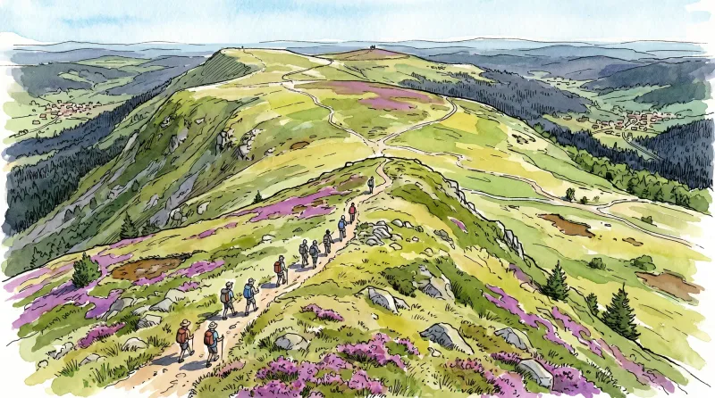
Livradois Circuit — The Châteaux of Livradois (Loop No. 4)
This circuit offers a journey through time, from the Gallo-Roman period to the age of knights.
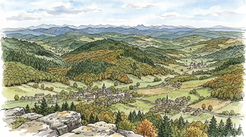
Bas-Livradois (Road Circuit No. 4)
After admiring the Romanesque priory church at Glaine-Montaigut, pause in Billom, a beautiful medieval town, before climbing the first Livradois foothills to Château de Montmorin and the imposing fortress of Mauzun.

Petit Turluron
Starting opposite the tourist information office, take Rue Carnot to the right. At Place du Vigheot, continue straight ahead along Avenue de la Gare. (1) Cross the D229 and continue opposite; cross the railway line and immediately take the street on the right. At the fork, leave Rue de Bursat on the right and continue left along Rue de la Salette. Go straight through the housing estate and, at the top of the hill, turn left onto Chemin du Petit Turluron (view of Château de Ravel in the foreground and the Forez mountains beyond). At the fork, leave Chemin du Petit Turluron on the left and continue straight ahead on the stony track (view of the town of Billom). At the T-junction, turn left towards Petit Turluron. (2) At the crossroads of 4 tracks, turn left (leaving the village of Petit Turluron). At the next junction (interpretation panel: Billom, an urban vocation), take the track climbing to the summit of Petit Turluron and continue to the Chapelle de la Salette (360° panoramic view: Clermont-Ferrand, the Limagne plain, La Comté, the town of Billom in the foreground, the Chaîne des Puys, the Monts Dômes, the Sancy massif, Château de Mauzun and the Forez mountains beyond). (3) From the Chapelle de la Salette, return down the same track to the junction with the interpretation panel. Continue straight downhill. (4) At the T-junction, turn right and descend towards Tinlhat. Shortly before the first houses, bear left onto the track. Follow it for 1 km through fields and vineyards to the edge of the Bois du Gros Turluron. (5) Take the path climbing to the left. Cross a path leading to the castle ruins (private), then turn left again before descending into a clearing. Continue until you reach a field. Follow the descending track to the right along the edge of the woods to a junction. Continue straight ahead to an intersection. (6) Turn right, then left 300 m farther on to descend towards the D229 (take care: heavy, fast-moving traffic). Cross it and follow the track opposite as it bears left. Cross the stream and then the railway line. At the road, turn right; pass the agricultural cooperative and, at the chimney, turn left into Rue du Jeu de Boules. (7) At the end of the street, at Place du Chauffour, bear slightly left into Rue du Mont-Mouchet. Descend Allée des Marronniers on the right; cross the bridge over the Angaud stream and continue straight ahead along Boulevard de la Porte Neuve. At the stop sign, continue opposite along Boulevard St-Roch. (8) At the small square, turn left into Rue du Faubourg-St-Loup. Beside the apse of Église St-Loup, descend Rue St-Loup on the left. (9) 20 m before the stop sign, pass beneath the archway on the left into Rue des Cours-Ste-Marie, then take the first street on the right; continue opposite along Rue du Collège (leaving Rue le Peuple on the right) and go straight ahead to the Angaud stream. Cross it on the stone bridge and climb Rue de l'Etezon. (10) At the junction, continue climbing the same street towards the medieval quarter. At the top, beside the apse of Église St-Cerneuf and the Maison du Bailli, turn right to descend Rue des Boucheries. On leaving the medieval quarter, turn left to return to the tourist information office.
The Fortified Villages
Start: Take the street alongside the war memorial and fountain (a listed sixteenth-century monument) towards Espirat, pass the inn and, 100 m further on, turn right onto Rue Martagère. On leaving the village, take Rue de l’Aullière on the right. At the D 81b (views of Tour de Courcourt on the left, Château de Ravel slightly left, Espirat and the Monts du Forez straight ahead, and Petit Turluron with its chapel and Château de Mauzun on the right), follow it to the left, then take the first earth track on the right. At the end, turn left; 100 m further on, continue straight ahead. At the T-junction, turn left to return to the D 81b. Follow it to the right to its junction with the D 997. 1. Cross it (caution: fast traffic) and take the grassy track straight ahead. At the end of this broad track, after crossing the former railway line, turn right to reach the cemetery. 2. At the cemetery, take the road on the right, cross the stream and enter Espirat. By the gateway, take the street on the right alongside the fortified village. At the end of the fortifications, branch left into the first narrow street entering the fort. Pass the church on its left and continue straight ahead, passing beneath the gateway to leave the fort. On leaving, immediately turn right behind Salle Marcel Fournier (dovecote on the left), then continue straight ahead along Rue des Marronniers. At the Reignat sign, turn right alongside the fort walls. On leaving, pass behind the bar by taking Rue du Moulin on the right. Continue straight ahead on this street to leave Espirat (view of Château de Montmorin straight ahead). 3. Just before Moulin de la Verse, descend to the right on the track. At the next junction, turn left, cross the bridge and follow the Jauron stream. At the T-junction, turn right; cross the railway line to the right of a retting pit, then cross the D 997 (caution: fast traffic). Take the earth track straight ahead and climb to the reservoir (looking back, views of Espirat and Ravel straight ahead, Moissat slightly left, and the Monts du Forez and Château de Mauzun on the right). 4. At the reservoir, turn right (views of Chas straight ahead, the Chaîne des Puys and Puy-de-Dôme slightly left, and the Monts du Forez on the right). Continue straight ahead on this track; by the fine stone cross (view of Chas), descend towards the village. At the T-junction, turn right, then at the D 81 continue straight ahead into the village. At the junction, continue uphill on the D81 (towards Chauriat), then take Rue des Fichaux on the left. Turn onto the first narrow street on the right (Petite Rue des Fichaux, polychrome house). At the end, turn left (ignore Rue de la Source on the left), then 30 m further on turn right alongside the town hall; pass through the gateway on the right and enter the fort. Walk around the church, turn right alongside the school, then branch left to return to the war memorial.
Explore Nearby
Complement your visit to Billom by exploring these neighboring villages.
Glaine-Montaigut
An encounter with Byzantine echoes and feudal legacies, where 12th-century frescoes and the ruins of noble seats punctuate a landscape of high pastures and ancient stone.
Montmorin
A high-altitude feudal stronghold offering a vertical journey through Auvergne’s noble past, anchored by a fortress that once commanded the strategic routes of the Livradois-Forez.
Saint-Julien-de-Coppel
An evocative landscape of volcanic promontories and medieval fragments, ideal for an afternoon investigating Romanesque ruins and high-altitude vistas.


