
Illustration in progress
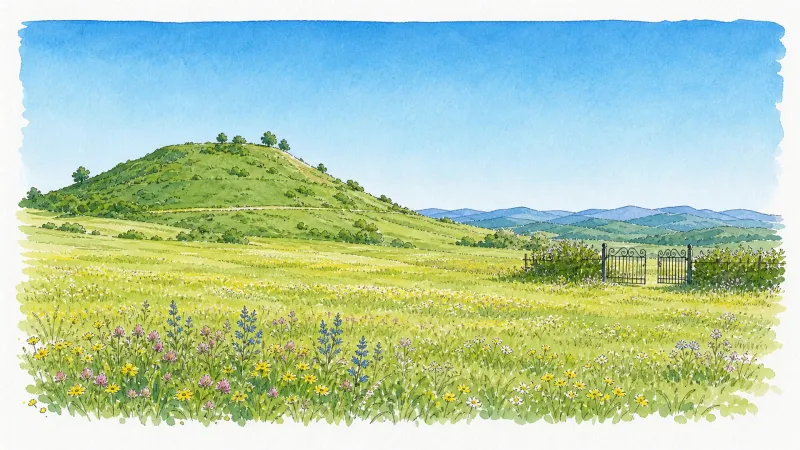
Ascending toward the Pic de la Garde, the landscape shifts from the fertile lowlands into a rugged domain of volcanic debris and dense woodland. This 780-meter summit, once a Gallic oppidum and later a Roman castrum, offers a panoramic perspective of the Livradois-Forez from its orientation table. Beneath the gaze of the Virgin’s statue, the earth reveals a spectacular basaltic chaos—a tumble of dark, crystalline rock that speaks to the ancient tectonic violence of the Auvergne. The air here is thin and sharp, carrying the scent of pine and the stillness of a place that was once dismissed by 18th-century surveyors as a “sterile mountain.”
The social fabric of this commune is woven with the thread of an extraordinary historical irony: the “Piqueurs.” In centuries past, the scarcity of the soil forced the men of Saint-Jean-des-Ollières into a life of nomadic deception, wandering the kingdom of France under the guises of pilgrims, mendicants, or shipwrecked souls. These masters of the “Pique” utilized forged certificates and practiced regional dialects to extract alms from the generous, yet they returned home to invest their illicit gains into the elegant four-sided roofs that still punctuate the local architecture. This duality defined the village’s reputation, earning it the whispered moniker of “Saint Jean des Voleurs,” even as its residents remained the most punctual taxpayers and orderly citizens within their own borders.
Within the village center, the Église Saint Jean-Baptiste stands as a testament to durability, its 12th-century Romanesque foundations having weathered extensive revisions across the 17th and 19th centuries. Nearby, the lone remaining tower of the former castle of Boisonnelle serves as a silent sentinel over the valley of the Miodet. The local history is further ennobled by the legacy of Marie Rosnet, known as Sœur Gabrielle, whose valor during the Great War made her the first woman to receive the Croix de Guerre with palm. To walk through these scattered hamlets is to navigate a terrain where the grit of the volcanic soil is matched only by the resilience and ingenuity of the people who shaped it.
Local profile
At a Glance
- Population
- 459
- Demonym
- —
- Altitude
- 470–792 m
- Forest
- 43.9%
residents
local residents
lowest to highest
commune coverage
Did You Know?
“In the 18th century, the inhabitants were famed as "Piqueurs," traveling France in elaborate disguises as beggars or refugees, only to return home as the region's most respectable, wealthy, and law-abiding property owners.”
Cultural Heritage
Protected historic monuments in Saint-Jean-des-Ollières
Eglise Saint-Jean
Saint-Jean-des-Ollières
Tour de Croizat
Saint-Jean-des-Ollières
Recent Wildlife & Flora Log
Nature observations recorded within 5km of Saint-Jean-des-Ollières.
Lamium purpureum L.
Common Wall Lizard
Awnless Geranium
Addersmeat
Lamium album L.
Common Cornsalad
Violet Oil-beetle
European Wasp
Common Raccoon
Beech Marten
Trails around Saint-Jean-des-Ollières
Discover physical challenges and natural beauty in the immediate vicinity.

Weekend Circuit: Égliseneuve-près-Billom–Saint-Jean-des-Ollières
Explore this weekend circuit through the Madet valley, past Château de Mauzun and above Étang des Maures, with fine views of the Chaîne des Puys, the Monts Dore and the Forez mountains.
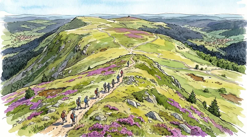
From Les Ribes to the Miodet
The fine fortified church of Saint-Dier, granite villages with immaculate coudercs, and the lively Miodet, once lined with mills, are the highlights of this walk through livestock-farming country.

Entre Comté et Pays d'Issoire (circuit route n°17)
Discover this trail through the heart of Livradois-Forez.
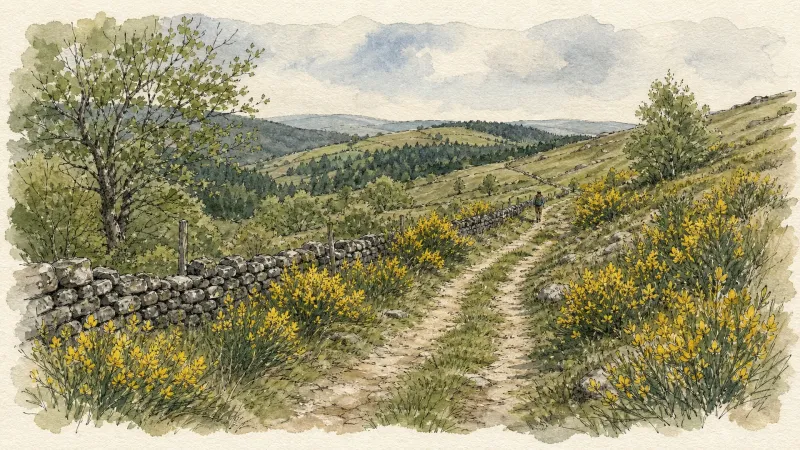
Pic de la Garde
From the church square (information panel for the Sentier des Piqueurs: traders, sham beggars and bourgeois houses). With your back to the church, follow the street straight ahead and, 20 m further on, descend the street on the right just before the bakery. At the end of the surfaced section, continue descending straight ahead on the grassy track (view of Puy de Courdeloup). At the road, continue to the right. At the bottom, by a house, follow the road to the right. At the fork, turn right to the D 7. (1) Cross it and take the track opposite between two fences. At the junction, turn left. At the fork, continue to the left. A few metres further on, climb to the right (views of the village of Saint-Jean-des-Ollières, Puy de Courdeloup to the left and Château de Mauzun to the right). At the junction, descend to the left (view of the Monts du Livradois slightly to the left). (2) At the entrance to Le Mas du Bost (fine buildings), turn left. By the cross, descend to the left and, 70 m further on, turn right. Continue to the D 7. Follow it to the right for a few metres, then take the road climbing to the left. 100 m before the quarry entrance gate, take the path on the right into the woods. At the junction, continue to the right. (3) At the road, turn left and continue to Pailler (views of the Massif du Sancy, Cézallier, the Monts du Cantal and the Monts du Livradois). On leaving the hamlet, plunge down a track on the left. At the fork, continue descending to the left. Cross the stream and climb back up on the same track. Pass alongside the houses of Montrouy and turn left onto the road. (4) At Le Couderchet, stay on the main road (bread oven). 20 m before the wrought-iron cross, branch onto the track climbing to the left. At the fork, continue to the right as far as La Garde. Turn left onto a good track. (5) In the next village, turn left to reach the orientation table at Pic de la Garde (10-minute return trip) (panoramic view); at the reservoir, continue to the left. Retrace your steps, then descend to the left between two ruins. At the D 253, turn left. At the Saint-Jean-des-Ollières village sign, follow a path on the left bordered by low walls. At the wash house, turn right to climb into the village. At the school, turn left to return to the church.
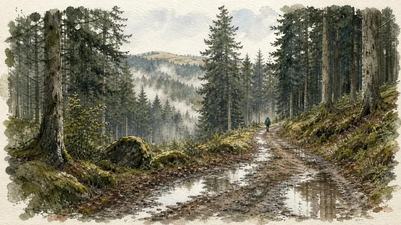
Puy de Courdeloup
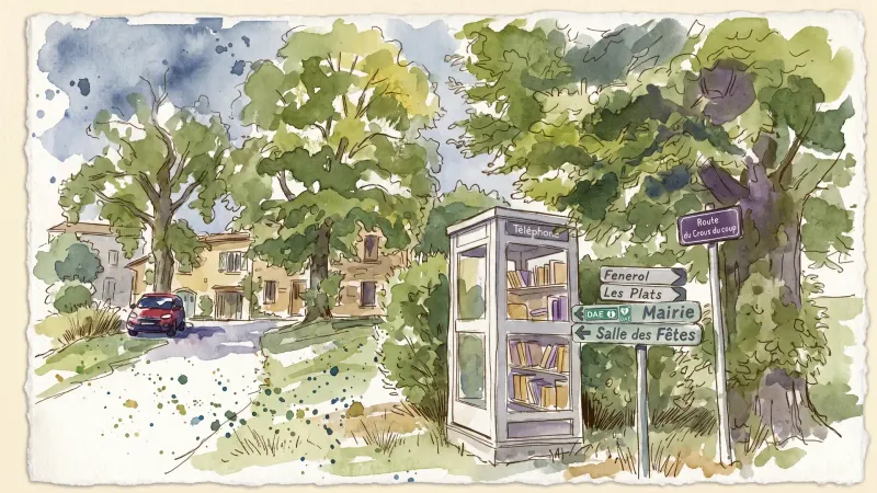
Start 30 m after the church; park in the spaces beside the telephone box. Facing the inn, take the street descending to the right, which becomes a stony track (view of Puy de Courdeloup straight ahead, on the wooded side of the Puy). (1) At the end of the track, follow the D 9 straight ahead, ignore the first track, then take the second track climbing to the left (views of the Massif du Sancy and Puy de Dôme). Continue on the same track alongside Puy de Courdeloup on the right (view of Saint-Jean-des-Ollières in the foreground, the Monts du Forez beyond straight ahead, and Château de Seymier on the left). (2) At the crossroads of 4 tracks, branch right towards Puy de Courdeloup and continue on the main track (low walls marking the plots where livestock once grazed; today, hornbeams or pollarded trees have reclaimed these walls by growing on them). At the next junction (view of the basalt rock formation of Puy de Courdeloup on the right), bear slightly right and stay on the main track. (3) At the D 9 (view of the Massif du Sancy), follow it to the left (view of Pic de la Garde, its rocky scree and the statue of the Virgin on the left). Ignore the road heading left in the village of Bourgis and, at the house (place known as Bioge), take the grassy track on the right descending into the valley to reach the hamlet of Le Gacard. Enter the hamlet, pass the bread oven on the right and continue straight ahead. (4) On leaving the village (view of Puy de Dôme), before the farm buildings, take the track descending to the right, cross the Bouchisse stream and climb to the hamlet of Bouchiche. (5) In the village, take the surfaced track climbing to the left, pass around the hairpin bend to the right (view of Puy de Courdeloup on the right and Isserteaux), then take the track on the left. At the junction, take the first stony track descending to the right as far as the road. At the road, turn right to enter the hamlet of Champorent. (6) Cross the hamlet and take the grassy track straight ahead. At the top of the rise, join a broader track and follow it to the right (view of Puy de Dôme). Cross the village of Montagnet (ruined village), then continue on the main track (view of the Massif du Sancy on the left). (7) Cross the hamlet of La Rochette to the D53, follow it to the left for 50 m, then take the first track on the right alongside Montjoux (cross). At the entrance to Isserteaux, continue straight ahead past the apse of the church. At the war memorial, turn left to return to the inn.
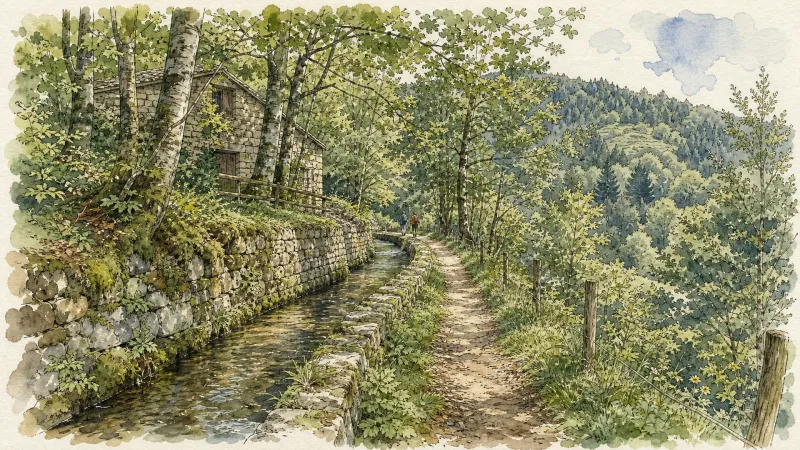
Les Piqueurs
Start: From the church, walk around the apse and descend the steps. Take the first narrow street on the right. At the D 253, turn right, then at the junction (ignore the D 53), take the small road straight ahead (towards La Serre). Pass the farm at La Serre (view of the Monts du Forez and, straight ahead, Château de Mauzun). 1. Leave the road and take a grassy track on the left. At the Chavarot leisure and holiday centre, turn left onto the small road, then follow the D 7 straight ahead for 300 m, ignoring the two roads on the right (one leading to Josserand and the other to the tennis court). Leave the D 7 to enter the village on the right. 2. By the pond, climb the small road bearing slightly left (an optional detour to the right leads to Tour de Croizat: after a house, follow the grassy track on the right, then enter the woods and follow the narrow path; on leaving the woods (view of the tower), return by the same route). At the road, climb to the right and, 20 m further on, leave the road for the tree-lined track straight ahead (tennis court on the left). The track emerges onto the D 7; follow it to the left (view of the village of Saint-Jean-des-Ollières). Branch onto the first track descending on the right-hand side of the road, pass the wash house and continue on the same track. 300 m after the wash house, on the right, are the ruins of an old windmill; at the junction, continue on the track to the left, which descends to the D 7. 3. At the D 7, cross it and take the stony track straight ahead. At the junction, turn left onto the road towards Vacher. At the top of the road (an optional detour to the right leads into the hamlet of Vacher). 4. Climb towards Saint-Jean-des-Ollières (view of Puy de Courdeloup in the foreground and the Massif du Sancy in the background). 5. By the wash house, leave the road and take the track on the right. At the D 253, follow it to the right for 250 m, then take the first road on the left towards Le Theil. 6. Cross the village of Le Theil, staying on this small road to return to Saint-Jean-des-Ollières. Ignore the road heading right towards Le Viallard and continue on the small road. At the entrance to Saint-Jean-des-Ollières, turn left to pass alongside the retirement home and arrive below the church.
Explore Nearby
Complement your visit to Saint-Jean-des-Ollières by exploring these neighboring villages.
Auzelles
A high-altitude sanctuary of dense woodland and medieval echoes, where the origins of the powerful Montboissier dynasty were forged atop an earthen motte.
Brousse
A high-altitude landscape where the legacy of Cluny's most famous abbot meets the dark geometry of basalt and the austerity of Romanesque stone.
Estandeuil
A serene landscape of high meadows and medieval remnants, where a 12th-century fortress and a historic church stand amidst the deep forests of the Livradois.
Isserteaux
A high-altitude landscape of dispersed hamlets and volcanic slopes, where Romanesque masonry and 19th-century estates overlook the rugged Livradois-Forez.


