
Elevation Profile
559–709 m
Start 30 m after the church; park in the spaces beside the telephone box. Facing the inn, take the street descending to the right, which becomes a stony track (view of Puy de Courdeloup straight ahead, on the wooded side of the Puy).
(1) At the end of the track, follow the D 9 straight ahead, ignore the first track, then take the second track climbing to the left (views of the Massif du Sancy and Puy de Dôme). Continue on the same track alongside Puy de Courdeloup on the right (view of Saint-Jean-des-Ollières in the foreground, the Monts du Forez beyond straight ahead, and Château de Seymier on the left).
(2) At the crossroads of 4 tracks, branch right towards Puy de Courdeloup and continue on the main track (low walls marking the plots where livestock once grazed; today, hornbeams or pollarded trees have reclaimed these walls by growing on them). At the next junction (view of the basalt rock formation of Puy de Courdeloup on the right), bear slightly right and stay on the main track.
(3) At the D 9 (view of the Massif du Sancy), follow it to the left (view of Pic de la Garde, its rocky scree and the statue of the Virgin on the left). Ignore the road heading left in the village of Bourgis and, at the house (place known as Bioge), take the grassy track on the right descending into the valley to reach the hamlet of Le Gacard. Enter the hamlet, pass the bread oven on the right and continue straight ahead.
(4) On leaving the village (view of Puy de Dôme), before the farm buildings, take the track descending to the right, cross the Bouchisse stream and climb to the hamlet of Bouchiche.
(5) In the village, take the surfaced track climbing to the left, pass around the hairpin bend to the right (view of Puy de Courdeloup on the right and Isserteaux), then take the track on the left. At the junction, take the first stony track descending to the right as far as the road. At the road, turn right to enter the hamlet of Champorent.
(6) Cross the hamlet and take the grassy track straight ahead. At the top of the rise, join a broader track and follow it to the right (view of Puy de Dôme). Cross the village of Montagnet (ruined village), then continue on the main track (view of the Massif du Sancy on the left).
(7) Cross the hamlet of La Rochette to the D53, follow it to the left for 50 m, then take the first track on the right alongside Montjoux (cross). At the entrance to Isserteaux, continue straight ahead past the apse of the church. At the war memorial, turn left to return to the inn.
At a Glance
- Duration
- 3.0hrs
- Distance
- 9.5km
- Elevation +
- +284 m
- Elevation -
- -284 m
At a Glance
Live Weather
Departure / Arrival · Cabine téléphonique, Isserteaux
Live conditions
—
Feels like
—
Wind / gusts
—
Visibility
—
Updated: —
Field notes and images
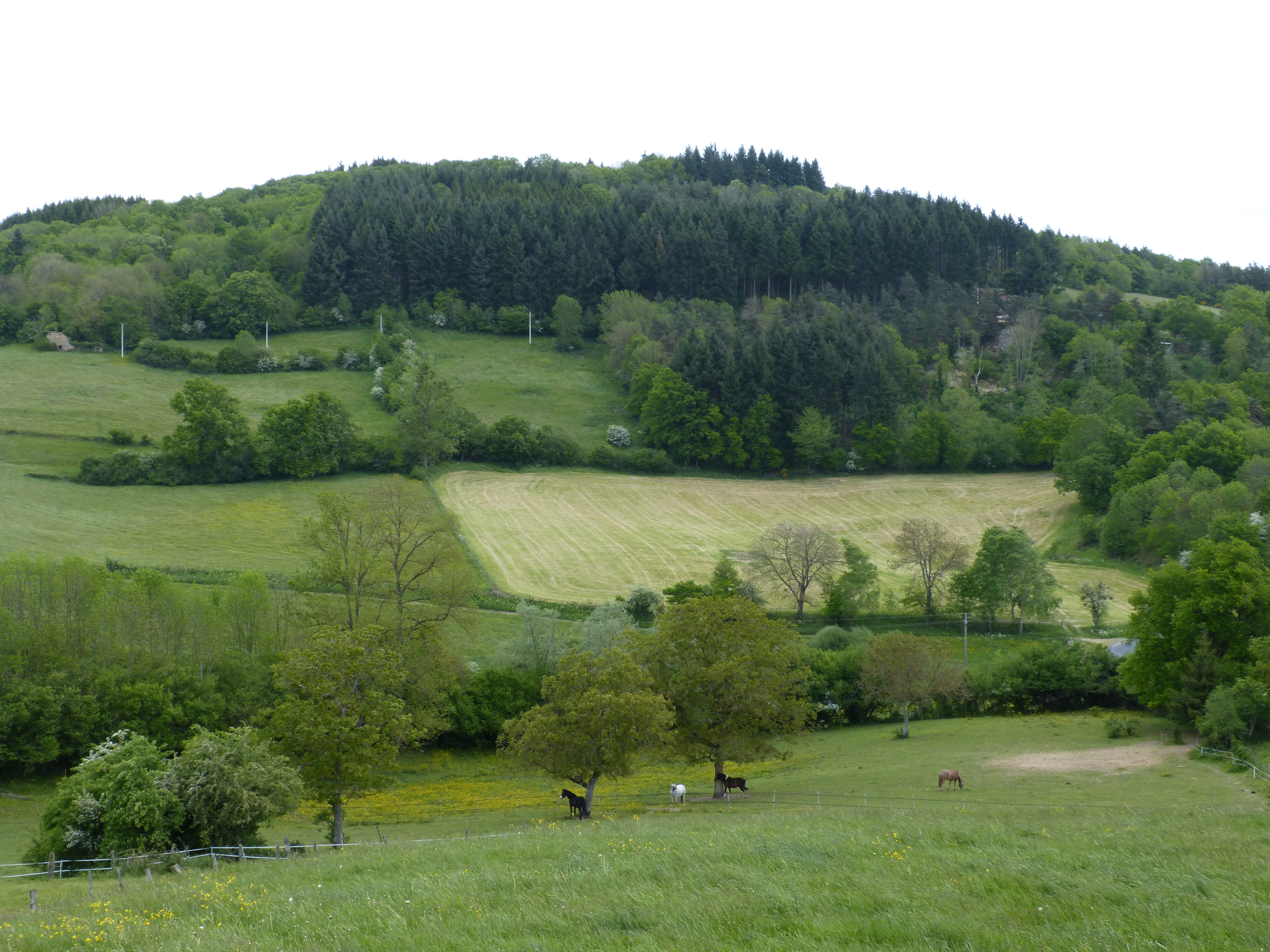
Vue sur le puy de Courdeloup
Captured by MDT

Le puy de Courdeloup
Captured by MDT
Explore Nearby
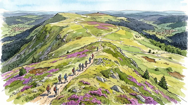
Livradois Circuit — The Châteaux of Livradois (Loop No. 4)
This circuit offers a journey through time, from the Gallo-Roman period to the age of knights.

Weekend Circuit: Égliseneuve-près-Billom–Saint-Jean-des-Ollières
Explore this weekend circuit through the Madet valley, past Château de Mauzun and above Étang des Maures, with fine views of the Chaîne des Puys, the Monts Dore and the Forez mountains.
From Les Ribes to the Miodet
The fine fortified church of Saint-Dier, granite villages with immaculate coudercs, and the lively Miodet, once lined with mills, are the highlights of this walk through livestock-farming country.