
Elevation Profile
580–686 m
Start: From the church, walk around the apse and descend the steps. Take the first narrow street on the right. At the D 253, turn right, then at the junction (ignore the D 53), take the small road straight ahead (towards La Serre). Pass the farm at La Serre (view of the Monts du Forez and, straight ahead, Château de Mauzun).
1. Leave the road and take a grassy track on the left. At the Chavarot leisure and holiday centre, turn left onto the small road, then follow the D 7 straight ahead for 300 m, ignoring the two roads on the right (one leading to Josserand and the other to the tennis court). Leave the D 7 to enter the village on the right.
2. By the pond, climb the small road bearing slightly left (an optional detour to the right leads to Tour de Croizat: after a house, follow the grassy track on the right, then enter the woods and follow the narrow path; on leaving the woods (view of the tower), return by the same route). At the road, climb to the right and, 20 m further on, leave the road for the tree-lined track straight ahead (tennis court on the left). The track emerges onto the D 7; follow it to the left (view of the village of Saint-Jean-des-Ollières). Branch onto the first track descending on the right-hand side of the road, pass the wash house and continue on the same track. 300 m after the wash house, on the right, are the ruins of an old windmill; at the junction, continue on the track to the left, which descends to the D 7.
3. At the D 7, cross it and take the stony track straight ahead. At the junction, turn left onto the road towards Vacher. At the top of the road (an optional detour to the right leads into the hamlet of Vacher).
4. Climb towards Saint-Jean-des-Ollières (view of Puy de Courdeloup in the foreground and the Massif du Sancy in the background).
5. By the wash house, leave the road and take the track on the right. At the D 253, follow it to the right for 250 m, then take the first road on the left towards Le Theil.
6. Cross the village of Le Theil, staying on this small road to return to Saint-Jean-des-Ollières. Ignore the road heading right towards Le Viallard and continue on the small road. At the entrance to Saint-Jean-des-Ollières, turn left to pass alongside the retirement home and arrive below the church.
At a Glance
- Duration
- 2.5hrs
- Distance
- 7.7km
- Elevation +
- +182 m
- Elevation -
- -182 m
At a Glance
Live Weather
Departure / Arrival · Saint-Jean-des-Ollières
Live conditions
—
Feels like
—
Wind / gusts
—
Visibility
—
Updated: —
Field notes and images
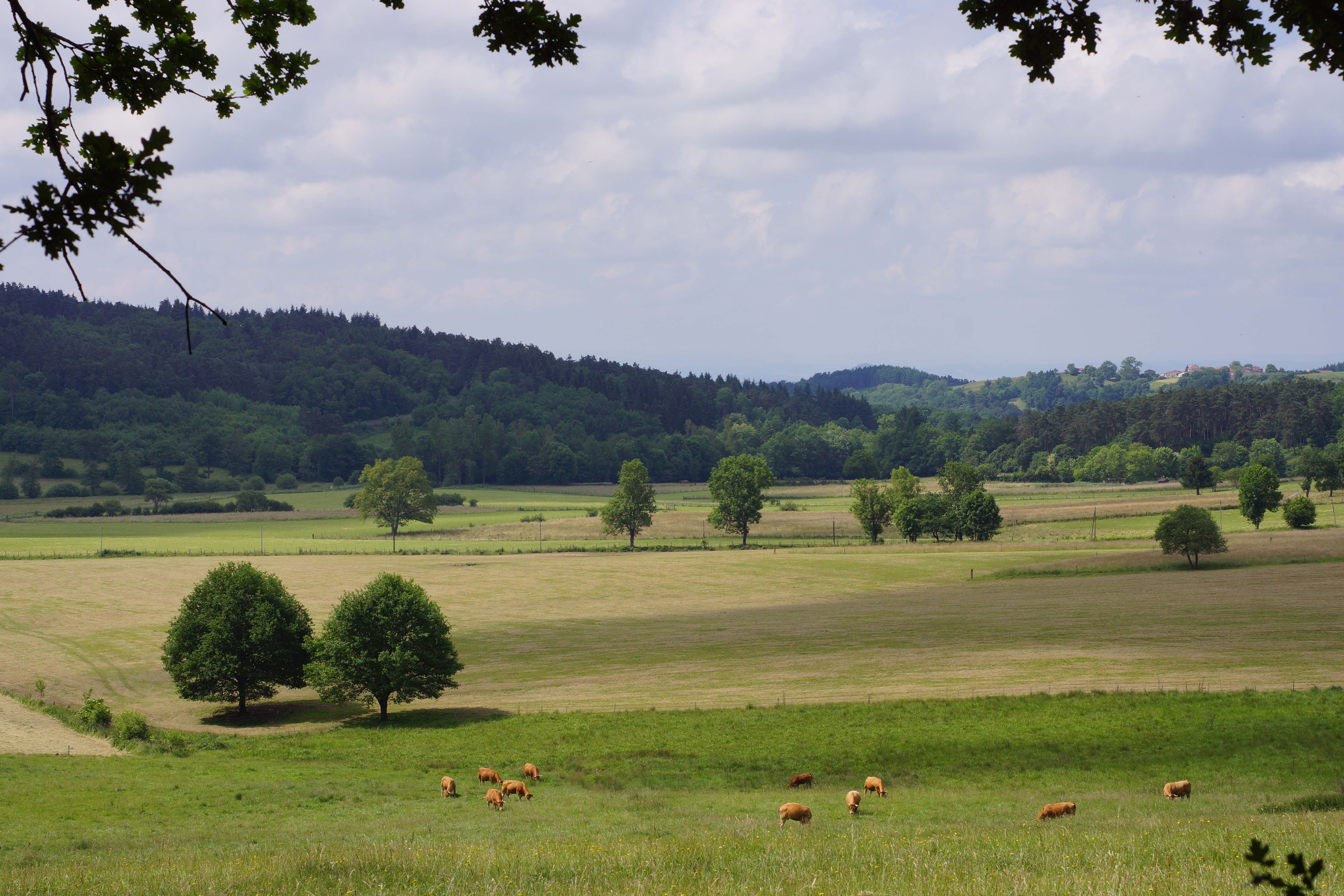
Vue a Saint-Jean-des-Ollières
Captured by Maison du Tourisme Sébastien Giraud
Explore Nearby

Weekend Circuit: Égliseneuve-près-Billom–Saint-Jean-des-Ollières
Explore this weekend circuit through the Madet valley, past Château de Mauzun and above Étang des Maures, with fine views of the Chaîne des Puys, the Monts Dore and the Forez mountains.
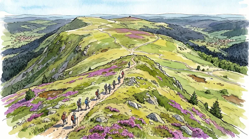
From Les Ribes to the Miodet
The fine fortified church of Saint-Dier, granite villages with immaculate coudercs, and the lively Miodet, once lined with mills, are the highlights of this walk through livestock-farming country.

Entre Comté et Pays d'Issoire (circuit route n°17)
Discover this trail through the heart of Livradois-Forez.