
Illustration in progress
The territory of Sugères unfolds as a high-altitude tapestry where the emerald domesticity of meadows meets the wilder density of the Livradois forests. Rising to nearly eight hundred meters, the commune rejects a singular center, choosing instead a constellation of hamlets that cling to the undulating terrain. To wander here is to observe the tactile reality of basalt and granite, weathered by a climate that sits on the precipice of the oceanic and the alpine. One feels the weight of the sky over the vast grazing lands, which account for more than half of the landscape, providing a serene backdrop for an afternoon of quiet observation.
The architectural rhythm of the region is best felt through the scattered settlements of Ronland, Voron, and the curiously named Brûl-Cul. These clusters of stone dwellings speak to a centuries-old agricultural persistence, where the geometry of every farmhouse was dictated by the natural slope of the land. The local heraldry—a golden lion and a wolf’s head—hints at an ancient nobility and a rugged relationship with the surrounding wilderness. Walking through these hamlets, one notices the deliberate placement of every lintel and the silver-grey patina of the stones, which seem to absorb the shifting, crystalline light of the Auvergne sun.
Beyond the stillness of its fields, Sugères maintains a vibrant intellectual pulse as the home of La Compagnie des Champs. This itinerant theater troupe weaves through the local valleys, transforming the rural silence into a stage for dramatic exploration and cultural continuity. This intersection of pastoral tradition and contemporary performance creates a unique friction, typical of the resilient spirit found within the Regional Nature Park. As the day wanes, the long shadows of the oaks stretch across the Valençon and Malpic ridges, offering a moment of profound clarity before the return journey to your evening residence.
Local profile
At a Glance
- Population
- 648
- Demonym
- Sugériens
- Altitude
- 447–794 m
- Forest
- 32.7%
residents
local residents
lowest to highest
commune coverage
Did You Know?
“Sugères is the permanent seat of La Compagnie des Champs, an itinerant theater company that has animated the local valleys and village squares since 1997.”
Cultural Heritage
A quiet village with authentic Auvergne charm.
Recent Wildlife & Flora Log
Nature observations recorded within 5km of Sugères.
Violet Oil-beetle
European Wasp
Common Raccoon
Beech Marten
Wasp Beetle
Melanocoryphus albomaculatus (Goeze, 1778)
Scarce Swallowtail
Platycerus caraboides (Linneaus, 1758)
carabus auronitens
Mesosa nebulosa (Fabricius, 1781)
Trails around Sugères
Discover physical challenges and natural beauty in the immediate vicinity.
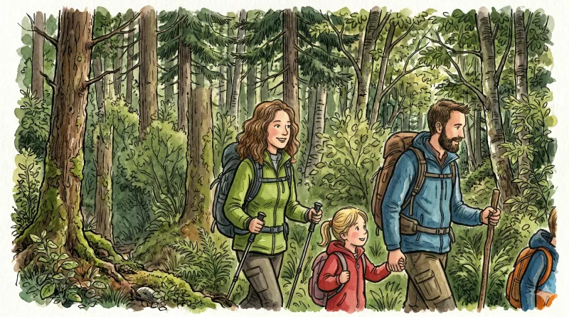
Entre Comté et Pays d'Issoire (circuit route n°17)
Discover this trail through the heart of Livradois-Forez.
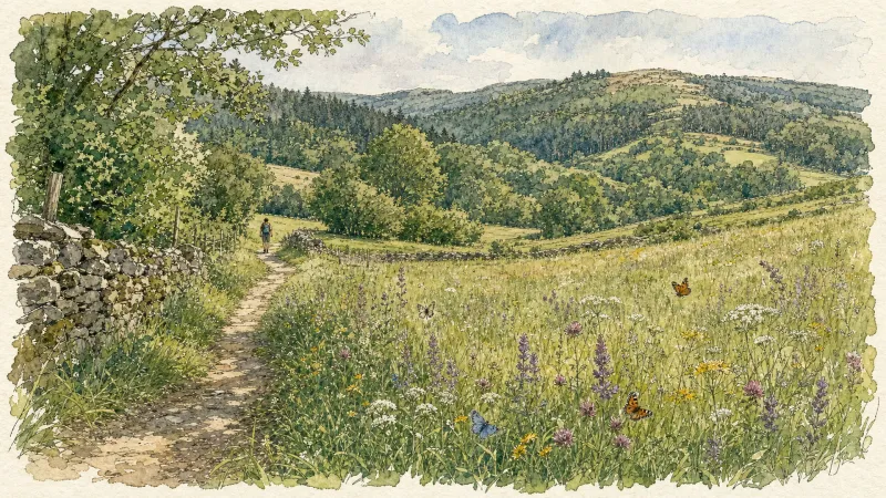
Bois de Bord
This 13.2 km loop starts and finishes at Sugères, with 256 m of ascent and an estimated duration of 3 hr 45 min.
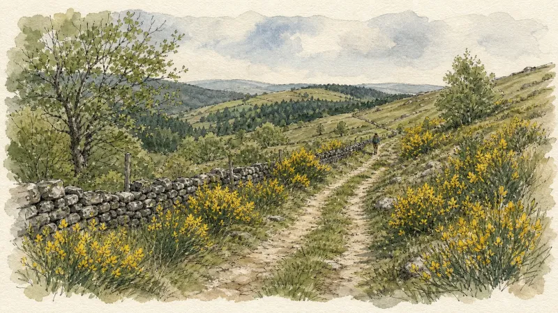
Pic de la Garde
From the church square (information panel for the Sentier des Piqueurs: traders, sham beggars and bourgeois houses). With your back to the church, follow the street straight ahead and, 20 m further on, descend the street on the right just before the bakery. At the end of the surfaced section, continue descending straight ahead on the grassy track (view of Puy de Courdeloup). At the road, continue to the right. At the bottom, by a house, follow the road to the right. At the fork, turn right to the D 7. (1) Cross it and take the track opposite between two fences. At the junction, turn left. At the fork, continue to the left. A few metres further on, climb to the right (views of the village of Saint-Jean-des-Ollières, Puy de Courdeloup to the left and Château de Mauzun to the right). At the junction, descend to the left (view of the Monts du Livradois slightly to the left). (2) At the entrance to Le Mas du Bost (fine buildings), turn left. By the cross, descend to the left and, 70 m further on, turn right. Continue to the D 7. Follow it to the right for a few metres, then take the road climbing to the left. 100 m before the quarry entrance gate, take the path on the right into the woods. At the junction, continue to the right. (3) At the road, turn left and continue to Pailler (views of the Massif du Sancy, Cézallier, the Monts du Cantal and the Monts du Livradois). On leaving the hamlet, plunge down a track on the left. At the fork, continue descending to the left. Cross the stream and climb back up on the same track. Pass alongside the houses of Montrouy and turn left onto the road. (4) At Le Couderchet, stay on the main road (bread oven). 20 m before the wrought-iron cross, branch onto the track climbing to the left. At the fork, continue to the right as far as La Garde. Turn left onto a good track. (5) In the next village, turn left to reach the orientation table at Pic de la Garde (10-minute return trip) (panoramic view); at the reservoir, continue to the left. Retrace your steps, then descend to the left between two ruins. At the D 253, turn left. At the Saint-Jean-des-Ollières village sign, follow a path on the left bordered by low walls. At the wash house, turn right to climb into the village. At the school, turn left to return to the church.
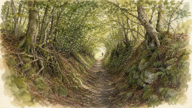
Tour du Haut-Livradois et Abbayes (circuit route n°20)
Discover this trail through the heart of Livradois-Forez.
Virée en Haut-Livradois (circuit route n°5)
Discover this trail through the heart of Livradois-Forez.
Explore Nearby
Complement your visit to Sugères by exploring these neighboring villages.
Brousse
A high-altitude landscape where the legacy of Cluny's most famous abbot meets the dark geometry of basalt and the austerity of Romanesque stone.
Isserteaux
A high-altitude landscape of dispersed hamlets and volcanic slopes, where Romanesque masonry and 19th-century estates overlook the rugged Livradois-Forez.
Manglieu
A profound encounter with Merovingian history and Romanesque architecture, where ancient marble columns and cinematic legends reside within a high-altitude monastic enclave.


