
Elevation Profile
432–1612 m
Ce circuit de près de 120km traversant la plupart des villes établies sur les monts du Forez et les monts du Livradois a sa petite réputation !
Vous admirez tour à tour la Chaîne des puys – Faille de Limagne depuis le col des Supeyres et le col du Béal, les Alpes depuis les monts du Forez et le bassin de la Dore depuis les monts du Livradois. Vous découvrez les milieux naturels qui forment toute la richesse du parc naturel régional en Auvergne : landes d’altitude des Hautes-Chaumes, tourbières, forêts alluviales, hétraies, petites rivières de moyenne montagne… Mais aussi, vous discernerez la trace discrète de l’homme dans les jasseries d’altitude, passerez devant la mairie ronde d’Ambert et pourrez déguster la fourme d’Ambert et le patia.
Tout est fait pour encourager à la déconnexion. Pendant le tour de pays du Livradois-Forez, vous profitez vraiment du temps présent.
At a Glance
- Duration
- 168.0hrs
- Distance
- 118.7km
- Elevation +
- +3745 m
- Elevation -
- -3745 m
At a Glance
Live Weather
Departure / Arrival · Ambert
Live conditions
—
Feels like
—
Wind / gusts
—
Visibility
—
Updated: —
Important Advice
ATTENTION : Déviation du Tour de Pays entre Olliergues et le hameau de La Valette. Le circuit emprunte maintenant la route. Bien suivre le balisage.
Field notes and images
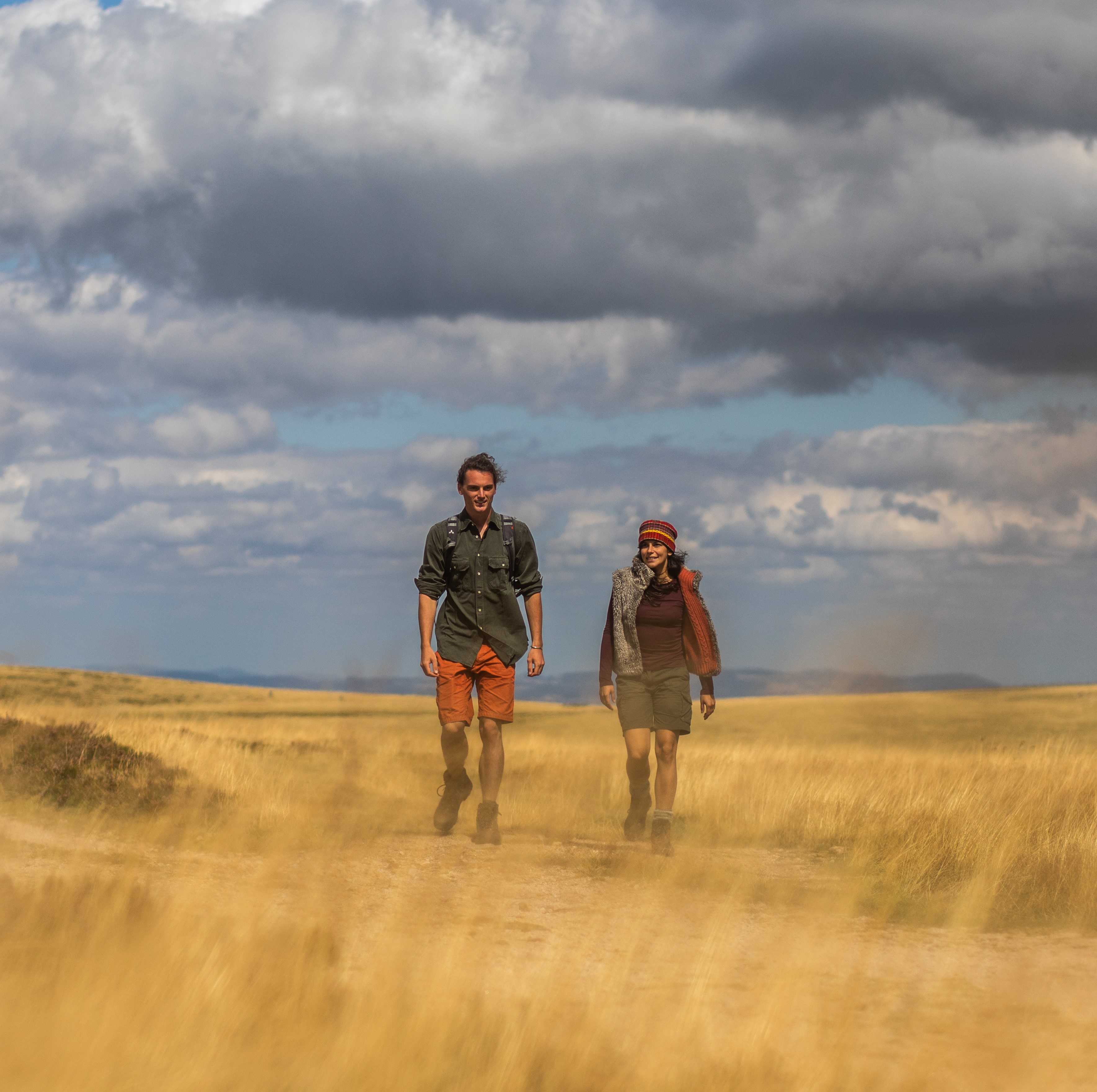
Randonneurs sur les Hautes-Chaumes
Captured by David Frobert
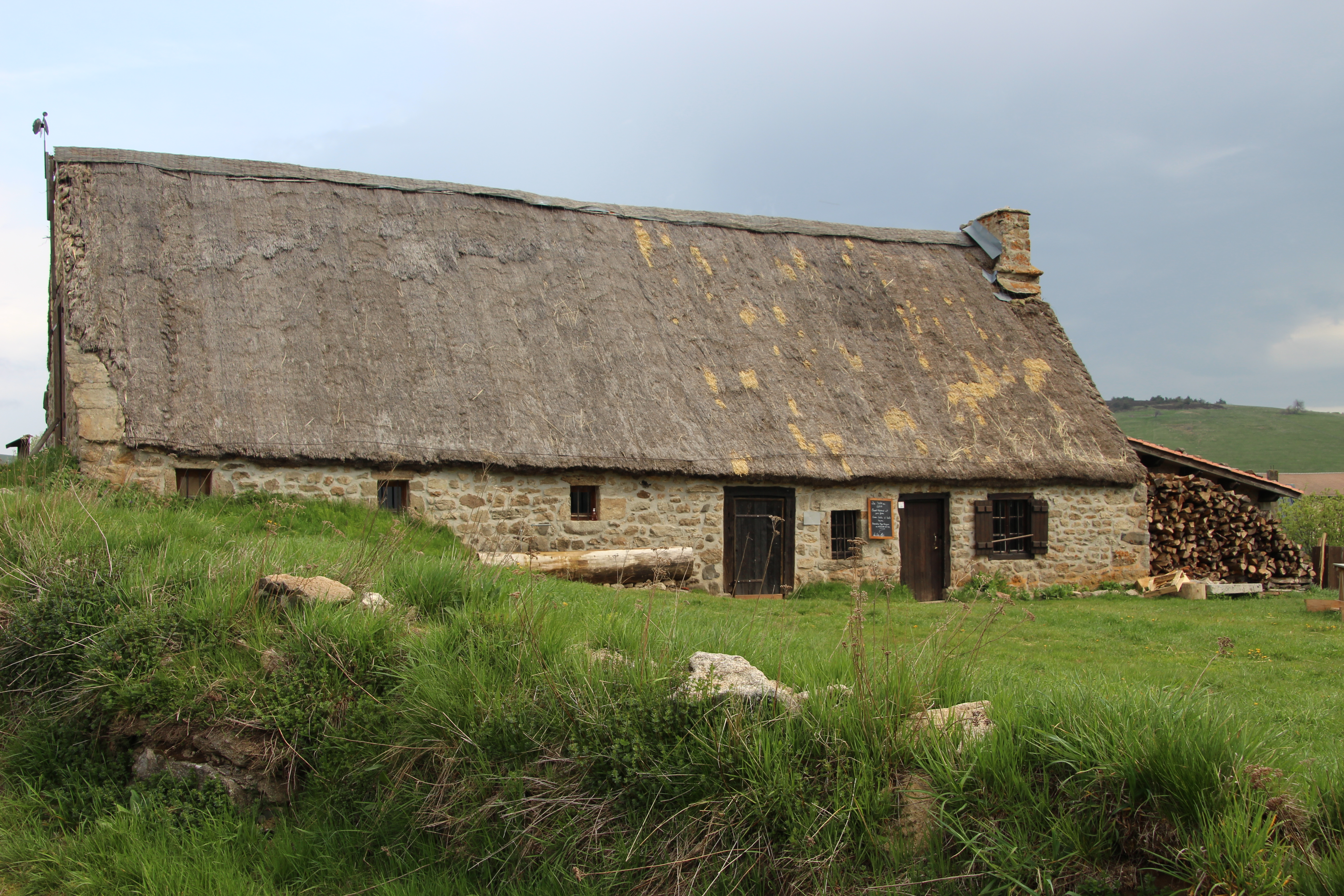
Jasserie Coq Noir
Captured by MDT

Pierre-sur-Haute
Captured by MDT
Explore Nearby
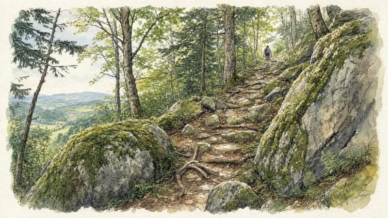
2 days of bivouac on Hautes-Chaumes
Between the jasseries, the peat bogs and the panoramas of the Alps on a clear day, here is a bivouac on the volcanic ridges of Livradois-Forez immersed in nature and accessible by train.
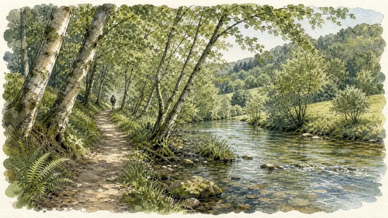
Ambert
This short circuit allows you to discover the two facets of Ambert: the natural side with the Bois de Boulogne, the Red Hen trail, the path along the Dore and the heritage side with the half-timbered houses, the round town hall, the cheese house and the St-Jean church.
Around the Maison du Parc
Departure: From the Parc Livradois-Forez house, in Saint-Gervais sous-Meymont, go up and through the village. At the exit, go up the path on the left. Leave another one on the left. 1. On a small plateau, turn right towards the houses of Combe. Go up the D254 on the left for 50 m. 2. Leave the road and go down the path on the right, then climb under the chestnut and hazel trees, on the right, after a stream. Follow the D254 on the right(view of the Dore and the foothills of Forez: grün de Chignore). 3. At Griolles, go down the path on the right. At the first split, climb to the left in the woods, then continue along the edge. 4. Turn right into Lauphant(well)and go up the small road to the plateau(view of the Forez). 5. After crossing Le Bouchet, go down the small road on the left, then follow the D254 on the right. At the crossroads, take the D259 on the left, towards Olliergues. 6. After 300 m, go up the path on the right behind a farm shed, in the woods. Always keep the same path to exit the woods (view of the Dore valley, Forez and the Puys chain). 7. At the iron cross, turn right, then immediately left along the woods until Pradat. 8. In Pradat, go up the path on the left. At the crossroads, turn left onto the perpendicular path(view of the Château de Blanchisse). Always keep the same path (view) until you reach a small road; follow her in front. 9. Before the first house in Guimoye, go down the path to the right, full slope, in the woods. 10. Cut the D259 to take the path on the left; sometimes paved, in deciduous woods, it passes a stream and small waterfalls. 11. Take the road on the right. Cross the Constancis and the Thiaudat straight on. At the fountain, go up the path on the left. 12. Turn and go down the perpendicular path, on the right. At the Croix des Pouillades, take the road on the left. At the exit of the second bend, go down the grassy path on the right. Returning to point 1, in the middle of the meadows, go right to dive towards the Maison du Parc.