
Illustration in progress
The air at one thousand meters carries the sharp, medicinal scent of resin and ancient timber. Saint-Alyre-d’Arlanc remains a sentinel of the high woods, where nearly eighty percent of the territory is surrendered to a dense canopy of pine and deciduous growth. For those wandering through this vertical landscape, the terrain offers a sensory study in forest density; ceps and chanterelles push through the damp loam in a silent, seasonal rhythm beneath shadows that have sheltered the region for centuries. The commune’s former revolutionary title, “Alyre-le-Froid,” serves as a testament to the bracing, crystalline atmosphere that persists even in the height of summer.
Local memory is indelibly etched into the stone and water of the Roumée fountain, the site of the legendary martyrdom of Elidie. This shepherdess, whose name eventually transmuted into the village’s own, was reportedly pursued by a lord’s intendant before meeting her end near the spring—a narrative that lends a haunting, hallowed quality to the surrounding trails. This spiritual weight finds its architectural expression in the Church of Notre-Dame, a structure of somber devotion that anchors the village. The interplay of sacred legend and the rugged reality of mountain life creates a palpable tension, inviting a slow, contemplative pace through the scattered hamlets.
In the elevated village of Bressolles, the thirteenth-century maison forte stands as a stoic witness to the feudal era’s defensive needs. Its granite fireplaces, massive and unyielding, reflect the austere beauty of a mountain stronghold, while a mullioned window at the first floor offers a rare moment of Renaissance grace amidst the heavy masonry. Beneath the vaulted cellars, the entrance to a collapsed subterranean passage suggests a forgotten, labyrinthine connection to the parish altar, once used as a clandestine artery between the Lafayette family’s outposts and the church. Today, this medieval gravity is occasionally broken by the rhythmic clatter of the Agrivap tourist train, which skirts the forest edge, bridging the gap between the commune’s industrial timber past and its quiet, contemporary solitude.
Local profile
At a Glance
- Population
- 132
- Demonym
- —
- Altitude
- 820–1053 m
- Forest
- 78.8%
residents
local residents
lowest to highest
commune coverage
Did You Know?
“During the French Revolution, the commune was renamed "Alyre-le-Froid" (Alyre the Cold) in recognition of its bracing mountain climate and high elevation.”
Cultural Heritage
A quiet village with authentic Auvergne charm.
Recent Wildlife & Flora Log
Nature observations recorded within 5km of Saint-Alyre-d'Arlanc.
Yellow-faced Blowfly
Admirals
Puss Moth
Carpenter Bees
Silver-washed Fritillary
Cabbage White
Small Tortoiseshell
Facelia
European marsh thistle
Jewelled Amanita
Trails around Saint-Alyre-d'Arlanc
Discover physical challenges and natural beauty in the immediate vicinity.

Dore Loop
The Livradois-Forez Regional Natural Park, a land of grassland and woodland, promises a memorable journey between valleys and ridges.
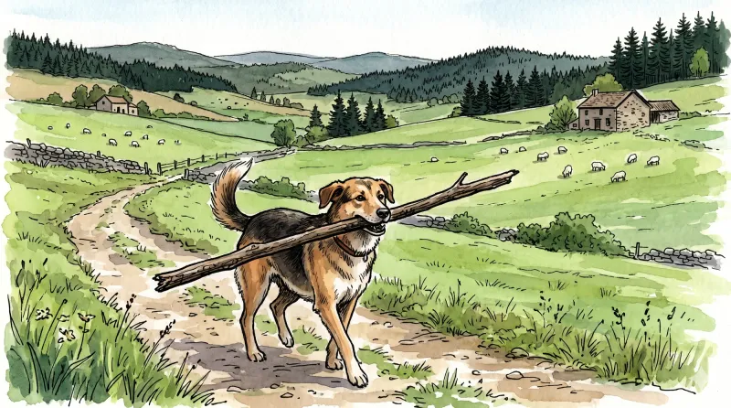
Great Livradois-Forez Mountain-Bike Traverse
In the heart of Auvergne, the Great Livradois-Forez Traverse takes you around the Livradois-Forez Regional Natural Park, between two mountain ranges rising from 400 m to 1,600 m.
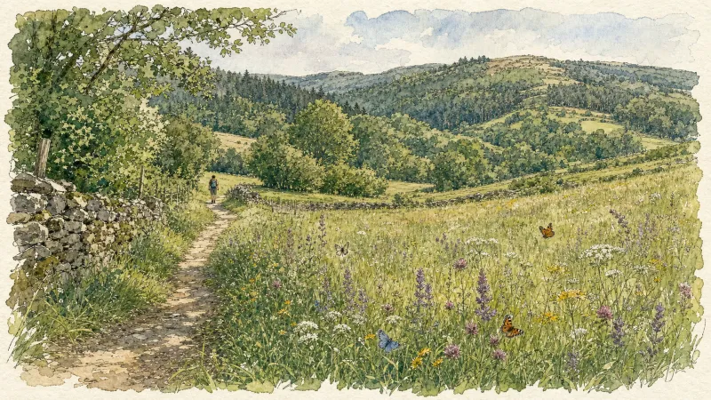
Sainte-Elidie Chapel
A beautiful route where you can observe how the Haut-Livradois landscape has evolved and contemplate Sainte-Elidie chapel, a place of legends with a magnificent view over the Dore gorges.
The Haute Dore
From the Vernet mill to the Piers mill, via the old Aubapeyre quarry, discover the numerous and melancholy traces of Haute-Dore's industrial past.
Le Pélady
This 3.6 km loop starts and finishes at Saint-Alyre d'Arlanc, with 84 m of ascent and an estimated duration of 1 hour.
Explore Nearby
Complement your visit to Saint-Alyre-d'Arlanc by exploring these neighboring villages.
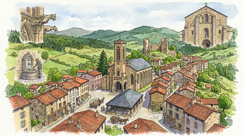
Arlanc
A center of rare optical curiosities and botanical cartography set within a profound geological rift.
Dore-l'Église
A high-altitude sanctuary where Romanesque architecture meets dark medieval lore, perfect for a contemplative afternoon detour through the southern reaches of the Livradois.
La Chapelle-Geneste
A high-altitude sanctuary defined by sprawling forests, a magnificent curved stone viaduct, and deep ties to the monastic power of La Chaise-Dieu.
Mayres
A high-altitude sanctuary of granite and timber where silent 15th-century masonry meets the deep, arboreal hush of the Forez forests.
Novacelles
A deep-valley sanctuary where 14th-century frescoes and the haunting ruins of a ghost village reveal the ancient spiritual core of the Livradois.
Saint-Sauveur-la-Sagne
A high-altitude sanctuary defined by its ancient arboreal sentinel and the rhythmic passage of vintage rail through dense coniferous stands.


