
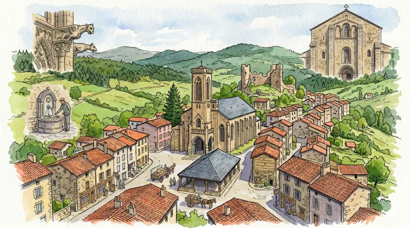
Illustration in progress
Rising toward the 900-meter threshold, Mayres presents a landscape defined by the relentless advance of the Forez timberland. Over half the territory is surrendered to a dense canopy of pine and deciduous growth, where the mountain air shifts from a temperate breeze to a sharp, alpine clarity. The village core and its far-flung hamlets, such as La Trénardie and Oussargues, appear as weathered granite outcroppings amidst the verdant sprawl. Wandering these heights reveals a rhythm of life dictated by the elements, where the stone reflects the gray-blue hues of the Auvergne sky and the scent of damp needles hangs heavy in the afternoon light.
The spiritual gravity of the commune centers on the Church of Saint-Martin, a 15th-century structure that preserves the stoic endurance of medieval masonry. Its silhouette was forever altered during the revolutionary fervor of the late 18th century when the bell tower was razed, leaving the nave as a silent sentinel until its mid-19th-century restoration. Higher still, the Chapel of Notre-Dame-de-la-Roche stands upon a precipice of ancient sanctity, occupying the footprint of a 14th-century predecessor. These sites, along with the oratory of Saint-Roch in the hamlet of Rouayres, form a triad of sacred waypoints that trace a history of devotion etched into the very topography of the region.
Observation here is rewarded by the finer textures of rural antiquity, from the cast-iron grain of monumental crosses erected in the late Victorian era to the industrial geometry of the round well at La Trénardie. During the warmer months, the profound stillness is occasionally punctuated by the rhythmic chugging of the Agrivap heritage train, which navigates the winding rails of the Livradois-Forez line. This seasonal pulse serves as a fleeting reminder of the area’s connectivity, offering a brief, mechanical contrast to the permanent, silent majesty of the surrounding woods and the enduring weight of the local volcanic stone.
Local profile
At a Glance
- Population
- 197
- Demonym
- —
- Altitude
- 608–926 m
- Forest
- 54.5%
residents
local residents
lowest to highest
commune coverage
Did You Know?
“The bell tower of the Saint-Martin church fell victim to the iconoclasm of the French Revolution, remaining silent for decades until its reconstruction in 1842.”
Cultural Heritage
A quiet village with authentic Auvergne charm.
Recent Wildlife & Flora Log
Nature observations recorded within 5km of Mayres.
Barcelona-nuts
Yellow-faced Blowfly
Protaetia cuprea (Fabricius, 1775)
Black Redstart
Hairy Shieldbug
Rhombic Leatherbug
Asp Viper
Southern White Admiral
Bloody-Nosed Beetle
Lesser Stag Beetle
Trails around Mayres
Discover physical challenges and natural beauty in the immediate vicinity.
Circuit n°37 Le Procureur
Discover this trail through the heart of Livradois-Forez.
Circuit n°38 Aller/retour à La Chaise Dieu
Discover this trail through the heart of Livradois-Forez.
The Dore and the Dolore
Departure: Take the D 300 (former D 999) which leads to St-Bonnet-le-Chastel. Take the path around the stadium, cross the leisure area and take the left turn. 200 m after the bend, take a path on the left, and continue straight on a grassy path. At the top of the hill, head towards the road and follow it to the right. 1. At the intersection, go back towards Arlanc, cross the D 906a and continue towards Moranges. Cross the railway, then turn right (view of the Monts du Forez). At 500 m, turn left and continue straight. 2. From the small Place du Luminier, take a path going up to the right. Pass a wooden chalet and continue to the granite farm (view of the Monts du Forez), and turn right at an acute angle. Cross the railway line further and continue on the small road. At the junction, cross the bridge, go down to the right to reach Coupat (view of the Monts du Livradois and du Forez, the Dore and the Dolore, Ambert, Arlanc and Dore-l'Eglise), and continue on the left towards a wind turbine. 3. Turn right onto the small road and go down to Procureur. 4. Cross the D906 and the railway line again. Immediately turn right onto a wide dirt road going down to Montel. Cross this hamlet. 5. Leave the road after the last Montel farm to take a good path on the right going up to Mayres. After the church, continue right on the D 38. At the first houses in Rouaires, turn right. 6. After the chapel, take an ascending path on the left, bordered by a low wall on the left. Continue straight at the intersection. 7. Turn right until you reach the forest track and follow it until you reach the road. Go down towards Arlanc. 8. At Capartel, turn left. Follow the Dolore and cross the “Roman” bridge. Follow the river on the right before crossing it again on a footbridge. Turn left to reach the starting point.
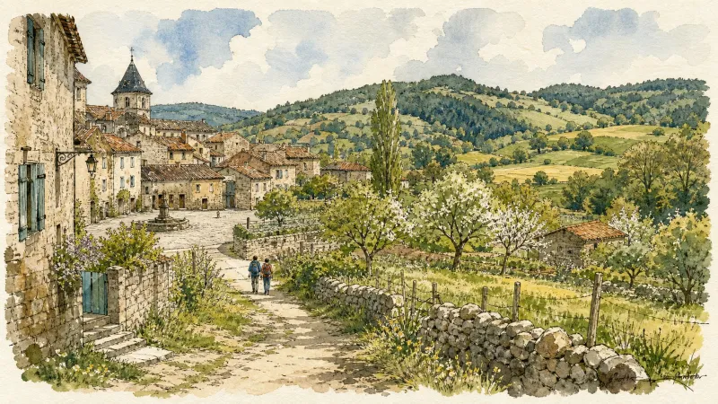
The Dore terraces (Mayres)
Departing from the magnificent site of Notre-Dame de la Roche, this route will take you from one side of the Dore to the other, and enjoy numerous viewpoints over the village of Mayres, the Dore valley and the Monts du Forez.
Tour du Haut-Livradois et Abbayes (circuit route n°20)
Discover this trail through the heart of Livradois-Forez.
Explore Nearby
Complement your visit to Mayres by exploring these neighboring villages.
Arlanc
A center of rare optical curiosities and botanical cartography set within a profound geological rift.
Novacelles
A deep-valley sanctuary where 14th-century frescoes and the haunting ruins of a ghost village reveal the ancient spiritual core of the Livradois.
Saint-Sauveur-la-Sagne
A high-altitude sanctuary defined by its ancient arboreal sentinel and the rhythmic passage of vintage rail through dense coniferous stands.


