
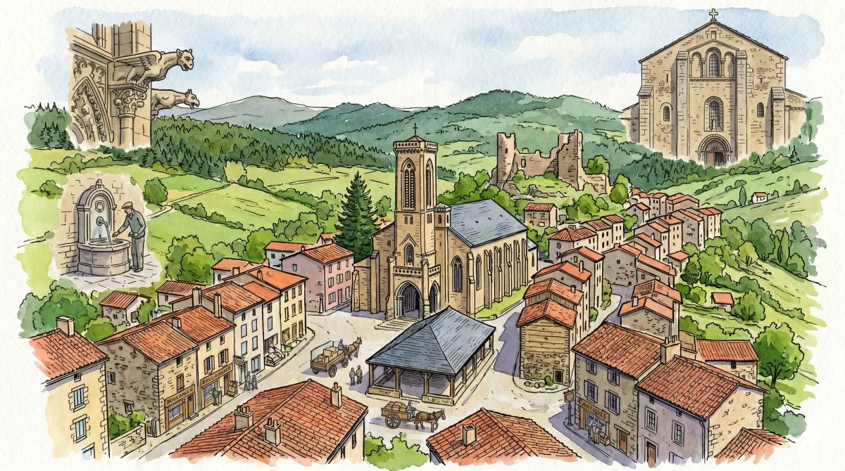
Arlanc occupies a profound geological fracture known as a graben, a tectonic collapse that defines the rugged contours of the Dore valley. This ancient rift serves as the dramatic setting for the Jardin pour la Terre, a six-hectare botanical planisphere that translates the world’s continents into manicured meadows and groves. Visitors traverse a literal map of the Earth, where over 2,000 varieties of flora are arranged according to their native meridians. The experience is an exercise in scale and perspective, allowing for a contemplative walk through the planet’s diverse biomes while remaining anchored in the high-altitude air of the Massif Central.
The town’s intellectual center of gravity is arguably the Château de Mons, a structure with foundations reaching back to the 11th century, though its current silhouette reflects a refined 17th-century Italianate reconstruction. Beyond its noble masonry, the interior houses a singular collection of “vues d’optique” and a rare zograscope, an 18th-century optical instrument designed to enhance the depth and realism of engraved prints. This curated archive of historical visual technology offers a sophisticated detour into the Enlightenment’s fascination with perspective, housed within rooms that retain the quiet, heavy atmosphere of a private estate.
Beneath the Hôtel de Ville, the vaulted stone cellars safeguard the intricate geometry of Arlanc’s handmade lace, a tradition that mirrors the delicate complexity of the town’s ecclesiastical architecture. The 12th-century Église Saint-Pierre provides a stoic, Romanesque anchor to the urban fabric, its granite walls absorbing the shifting light of the Auvergne sky. For those seeking a rhythmic traversal of the landscape, the Agrivap tourist rail line departs from the local station, its vintage carriages tracing the Dore river’s edge and offering an unhurried vantage point of the forested escarpments that enclose this historic valley.
Markets of Livradois-Forez
Market day
Time your visit to enjoy the local market.
Monday
Market in Arlanc
Every week
Discoveries in Arlanc
3 places from our guide are in this commune.
- Château de Mons
- Jardin pour la Terre
- Atelier de Dentelle d'Arlanc (Lace Museum)
Local profile
At a Glance
- Population
- 1,785
- Demonym
- Arlancois
- Altitude
- 547–943 m
- Forest
- 28.2%
residents
local residents
lowest to highest
commune coverage
Did You Know?
“The rugged Renault Rodéo, a quintessential open-air vehicle of the 1970s, was originally conceived and designed in Arlanc by the Ateliers de Construction du Livradois.”
Cultural Heritage
Protected historic monuments in Arlanc
Croix de chemin du 16e siècle
Arlanc
Eglise Saint-Pierre
Arlanc
Château de Mons
Arlanc
Motte féodale de Cours
Cours
Maison
Arlanc
Recent Wildlife & Flora Log
Nature observations recorded within 5km of Arlanc.
Barcelona-nuts
Protaetia cuprea (Fabricius, 1775)
Blackbird
Cuereta blanca
Black Redstart
Blue Tit
Rhombic Leatherbug
Asp Viper
Southern White Admiral
Western Saddle Bush-cricket
Trails around Arlanc
Discover physical challenges and natural beauty in the immediate vicinity.
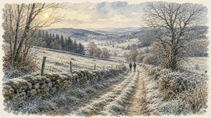
Forez circuit - Discover local skills and crafts (loop no. 6)
This circuit invites you to discover the skills and crafts of the Livradois through the themes of water and nature.
Circuit n°36 Le Tour d’Arlanc
Discover this trail through the heart of Livradois-Forez.
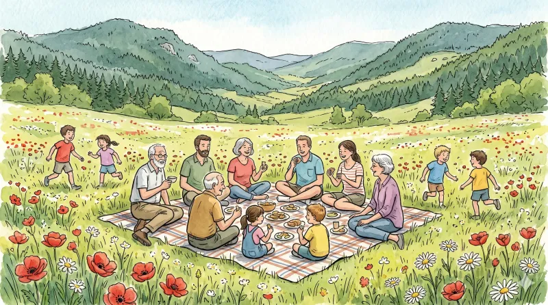
Circuit n°37 Le Procureur
Discover this trail through the heart of Livradois-Forez.
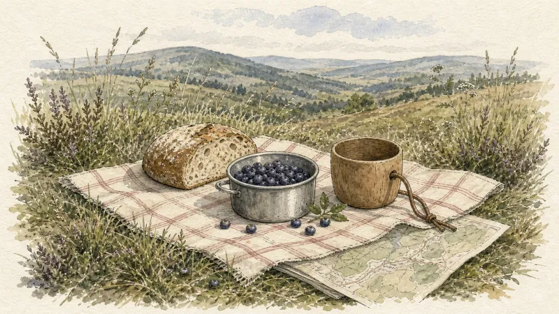
Circuit n°38 Aller/retour à La Chaise Dieu
Discover this trail through the heart of Livradois-Forez.
The Dore and the Dolore
Departure: Take the D 300 (former D 999) which leads to St-Bonnet-le-Chastel. Take the path around the stadium, cross the leisure area and take the left turn. 200 m after the bend, take a path on the left, and continue straight on a grassy path. At the top of the hill, head towards the road and follow it to the right. 1. At the intersection, go back towards Arlanc, cross the D 906a and continue towards Moranges. Cross the railway, then turn right (view of the Monts du Forez). At 500 m, turn left and continue straight. 2. From the small Place du Luminier, take a path going up to the right. Pass a wooden chalet and continue to the granite farm (view of the Monts du Forez), and turn right at an acute angle. Cross the railway line further and continue on the small road. At the junction, cross the bridge, go down to the right to reach Coupat (view of the Monts du Livradois and du Forez, the Dore and the Dolore, Ambert, Arlanc and Dore-l'Eglise), and continue on the left towards a wind turbine. 3. Turn right onto the small road and go down to Procureur. 4. Cross the D906 and the railway line again. Immediately turn right onto a wide dirt road going down to Montel. Cross this hamlet. 5. Leave the road after the last Montel farm to take a good path on the right going up to Mayres. After the church, continue right on the D 38. At the first houses in Rouaires, turn right. 6. After the chapel, take an ascending path on the left, bordered by a low wall on the left. Continue straight at the intersection. 7. Turn right until you reach the forest track and follow it until you reach the road. Go down towards Arlanc. 8. At Capartel, turn left. Follow the Dolore and cross the “Roman” bridge. Follow the river on the right before crossing it again on a footbridge. Turn left to reach the starting point.

The Chalas Dam
This 6.0 km loop starts and finishes at A la base de loisirs, with 145 m of ascent and an estimated duration of 1 hr 45 min.
Explore Nearby
Complement your visit to Arlanc by exploring these neighboring villages.
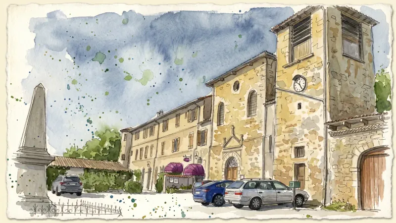
Chaumont-le-Bourg
An exploration of medieval stonework and Benedictine echoes on the "bald mount" of the Forez highlands.
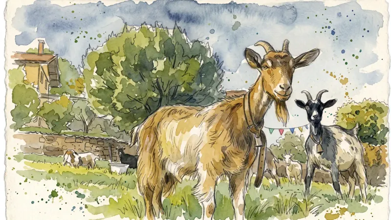
Marsac-en-Livradois
A landscape of resilient Gothic architecture and paper-milling history, defined by the strategic waters of the Dore and the scars of 16th-century religious conflict.
Mayres
A high-altitude sanctuary of granite and timber where silent 15th-century masonry meets the deep, arboreal hush of the Forez forests.
Medeyrolles
A high-altitude sanctuary where the granite of the Forez meets a dense sea of spruce, offering a quiet, contemplative atmosphere for travelers seeking the raw textures of the Auvergne heights.
Novacelles
A deep-valley sanctuary where 14th-century frescoes and the haunting ruins of a ghost village reveal the ancient spiritual core of the Livradois.
Saint-Bonnet-le-Chastel
A high-altitude sanctuary of Flamboyant Gothic architecture and ancient communal traditions, set against the granite ridges of the eastern Livradois.


