
Illustration in progress
Transitioning from the lush alluvial plains of the Dore river toward the rugged ascent of the Forez mountains, Dore-l’Église manifests as a landscape of stark contrasts. At an elevation exceeding a thousand meters at its peak, the commune is defined by a deep silvicultural density, where nearly half the territory is shrouded in ancient forest. The air here carries a sharpened clarity, characteristic of the mountain margins, cooling the summer afternoons as one wanders through the scattered hamlets of Collanges or Périssanges. The geography is an intricate tapestry of high-altitude meadows and dense timber, offering a sensory experience of the Massif Central’s raw, unyielding topography.
The architectural centerpiece of the village is the Church of Saint-Blaise, a structure that demands a slow, deliberate inspection. Its Romanesque portal is a masterwork of medieval craftsmanship, featuring a polylobed archivolt that catches the shifting light of the Auvergne sky. Pressed against the stone stairs, an ancient Roman funerary stele dedicated to the memory of one “Prescini” serves as a silent witness to a millennium of human passage. The massive wooden doors, reinforced with intricate ironwork, are said to be the only remnants of a lost era, carrying the weight of centuries within their grain and forged metal.
Local folklore provides a haunting narrative to the stone ruins of the surrounding area, particularly concerning the vanished Château de Belles Filles. Legend dictates that the fortress was consumed by celestial fire as retribution for a lord’s impious violence against a local priest, leaving behind only the church’s doors as a legacy of atonement. This sense of historical weight is further grounded by the legacy of François Caprais de Brignon, the village curate who transitioned from these quiet pews to the revolutionary fervor of the 1789 States General. A stroll through this high-altitude enclave offers a profound encounter with a past where divine retribution and political upheaval are etched into the very granite of the village.
Local profile
At a Glance
- Population
- 656
- Demonym
- Doriens
- Altitude
- 578–1027 m
- Forest
- 46.3%
residents
local residents
lowest to highest
commune coverage
Did You Know?
“Local legend claims the church's ornate ironwork was salvaged from the ruins of the Château de Belles Filles, which was supposedly struck by divine lightning after its lord murdered a priest.”
Cultural Heritage
Protected historic monuments in Dore-l'Église
Eglise Saint-Blaise
Dore-l'Église
Recent Wildlife & Flora Log
Nature observations recorded within 5km of Dore-l'Église.
Barcelona-nuts
Common Cow-Wheat
Common Foxglove
Blackbird
Cuereta blanca
Black Redstart
Blue Tit
Hairy Shieldbug
Asp Viper
Southern White Admiral
Trails around Dore-l'Église
Discover physical challenges and natural beauty in the immediate vicinity.
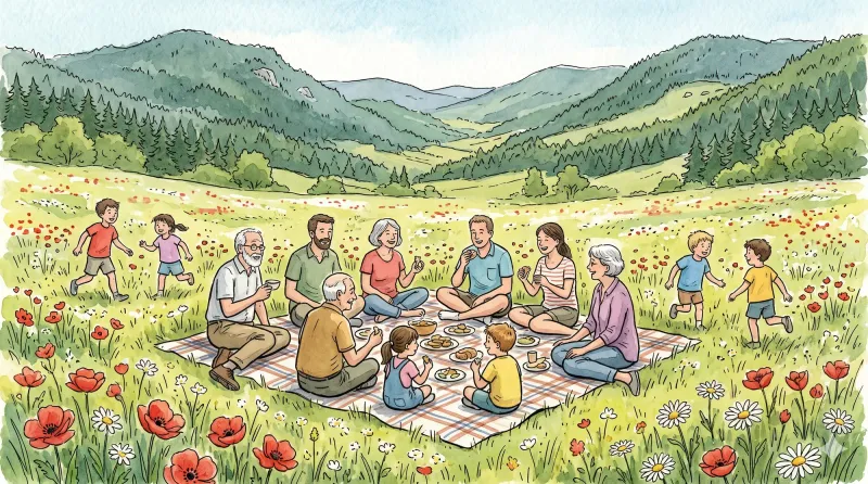
Circuit n°37 Le Procureur
Discover this trail through the heart of Livradois-Forez.
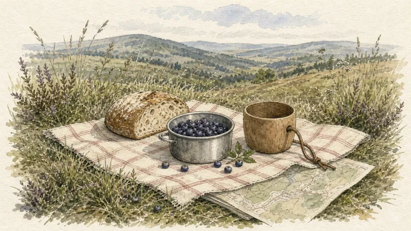
Circuit n°38 Aller/retour à La Chaise Dieu
Discover this trail through the heart of Livradois-Forez.
The Dore and the Dolore
Departure: Take the D 300 (former D 999) which leads to St-Bonnet-le-Chastel. Take the path around the stadium, cross the leisure area and take the left turn. 200 m after the bend, take a path on the left, and continue straight on a grassy path. At the top of the hill, head towards the road and follow it to the right. 1. At the intersection, go back towards Arlanc, cross the D 906a and continue towards Moranges. Cross the railway, then turn right (view of the Monts du Forez). At 500 m, turn left and continue straight. 2. From the small Place du Luminier, take a path going up to the right. Pass a wooden chalet and continue to the granite farm (view of the Monts du Forez), and turn right at an acute angle. Cross the railway line further and continue on the small road. At the junction, cross the bridge, go down to the right to reach Coupat (view of the Monts du Livradois and du Forez, the Dore and the Dolore, Ambert, Arlanc and Dore-l'Eglise), and continue on the left towards a wind turbine. 3. Turn right onto the small road and go down to Procureur. 4. Cross the D906 and the railway line again. Immediately turn right onto a wide dirt road going down to Montel. Cross this hamlet. 5. Leave the road after the last Montel farm to take a good path on the right going up to Mayres. After the church, continue right on the D 38. At the first houses in Rouaires, turn right. 6. After the chapel, take an ascending path on the left, bordered by a low wall on the left. Continue straight at the intersection. 7. Turn right until you reach the forest track and follow it until you reach the road. Go down towards Arlanc. 8. At Capartel, turn left. Follow the Dolore and cross the “Roman” bridge. Follow the river on the right before crossing it again on a footbridge. Turn left to reach the starting point.
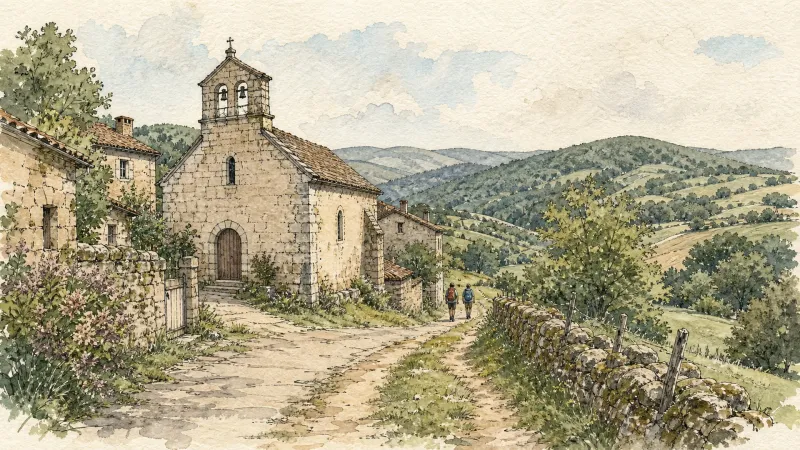
The Panoramas of Dore-l’Église
Set out on a panoramic walk to discover the Romanesque heritage of Dore-l’Église and beautiful, secluded hamlets with dry-stone houses.
Explore Nearby
Complement your visit to Dore-l'Église by exploring these neighboring villages.
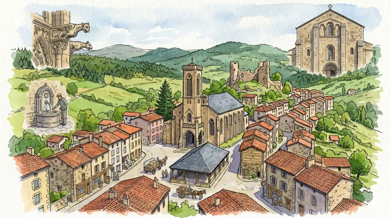
Arlanc
A center of rare optical curiosities and botanical cartography set within a profound geological rift.
Mayres
A high-altitude sanctuary of granite and timber where silent 15th-century masonry meets the deep, arboreal hush of the Forez forests.
Medeyrolles
A high-altitude sanctuary where the granite of the Forez meets a dense sea of spruce, offering a quiet, contemplative atmosphere for travelers seeking the raw textures of the Auvergne heights.
Saint-Victor-sur-Arlanc
A high-altitude threshold between the Forez and Livradois, centered on a 12th-century commandery of the Antonine monks.


