
Elevation Profile
841–993 m
Departure near the church: take the D 132 going up, pass the cemetery and, 250 m further, leave the tarmac on the right via a forest path.
(1) Initially flat, the path then goes down through the woods to the hamlet of Vernet where you cross the D 260. Leave the tarmac 30 m further and take, at a right angle, a path soon to be lined of hazelnut trees over 400 m.
(2) Take a path on the left which goes down to the Moulin du Vernet and which runs along a thick garden wall at the bottom.
(3) Cross the road, continue on the tarmac path. Cross a first stream, pass between 2 buildings, turn right and cross another stream on granite slabs. The path then goes up to the village of Chard where you come out in front of a cross.
(4) Turn right onto the tarmac road (Viewpoint on Doranges). After 50 m, follow a grassy path opposite which goes down to the Moulin de Piers (Pierre) which you can see from a bird's eye view.
(5) To the left of a parking area (vehicle access via Besse de St-Sauveur) a wide logging road climbs on the left to the crossroads of the “Croix de Chard”. Turn right at a right angle on a forest track for 1500 m, which leads to Aubapeyre (Commune of St-Alyre d'Arlanc).
(6) In the center of Aubapeyre, take on the right a path which goes down to the bottom of the Dore gorges to the ruins of the Moulin d'Aubapeyre. Cross the Dore on a footbridge and go up the path which joins the D 999, above the village of Germalanges.
(7) Go up the D 999 to the right for 200 m and take a path on the left in a wood. At the first crossroads, continue straight. At the crow’s feet, turn left. Turn right onto the road. At the second road leading to Coupanges, take the forest path opposite. Follow it for around 1200 m, then, shortly after the meadow, take a path on the right which leads to Coust.
(8) At Coust, take a path on the left, to the right of a large building. Cross the D 999 at the rest area and continue along the pétanque court. Turn right to reach Doranges (viewpoint over Forez).
At a Glance
- Duration
- 3.5hrs
- Distance
- 11.8km
- Elevation +
- +279 m
- Elevation -
- -282 m
At a Glance
Live Weather
Departure / Arrival · Eglise de Doranges
Live conditions
—
Feels like
—
Wind / gusts
—
Visibility
—
Updated: —
Field notes and images
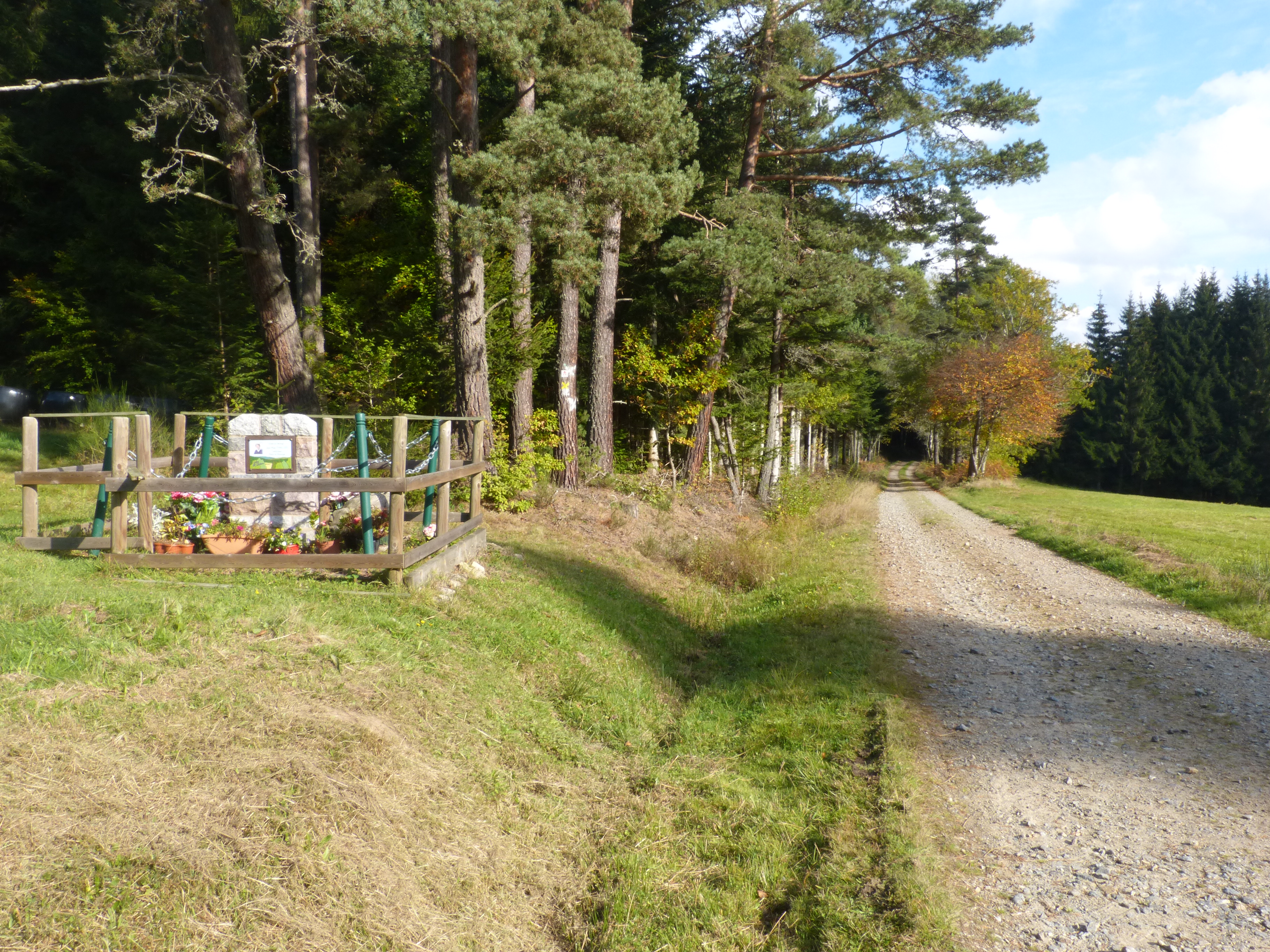
Chemin vers la croix de Chard
Captured by MDT
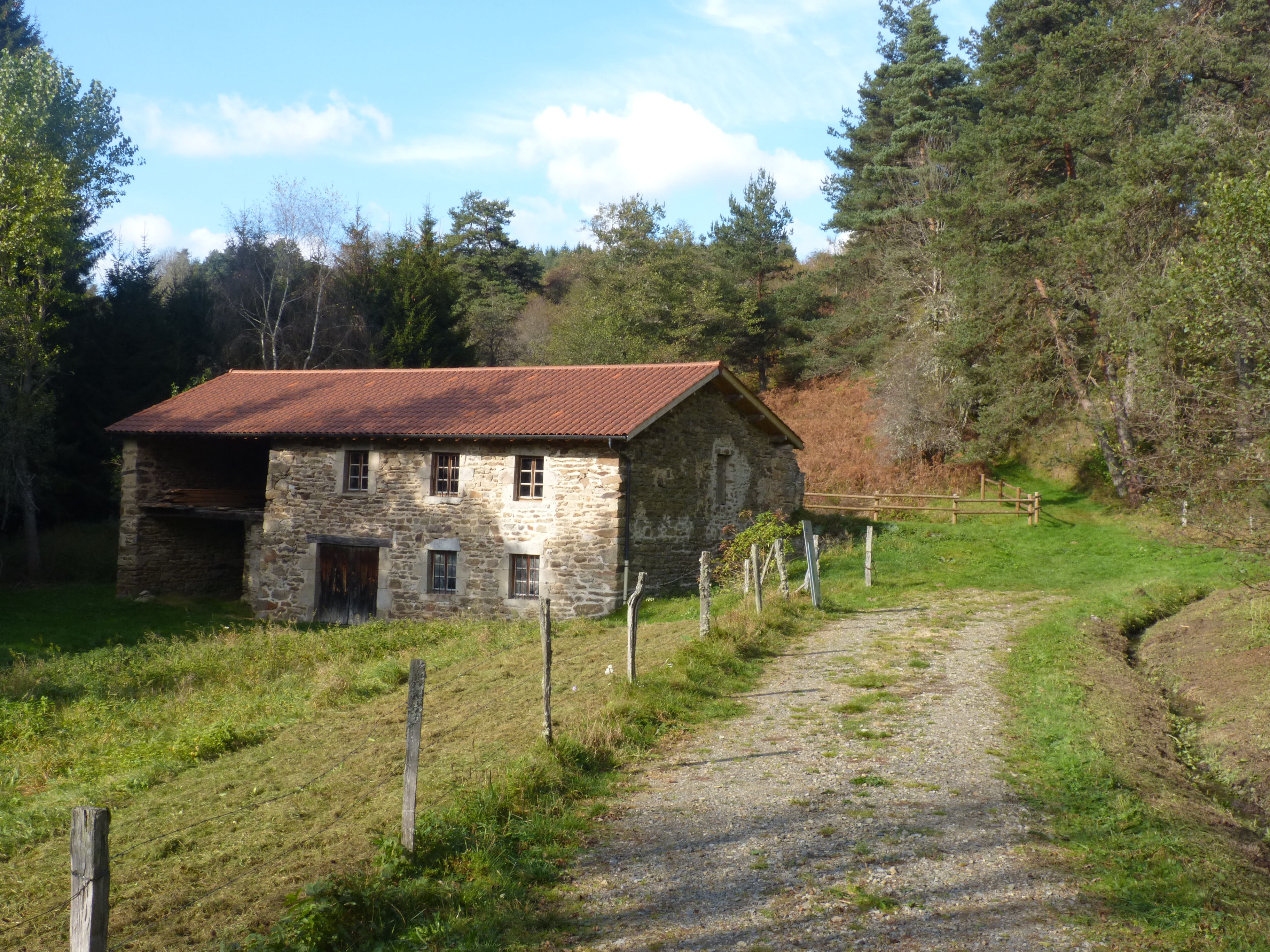
Le moulin des Piers
Captured by MDT
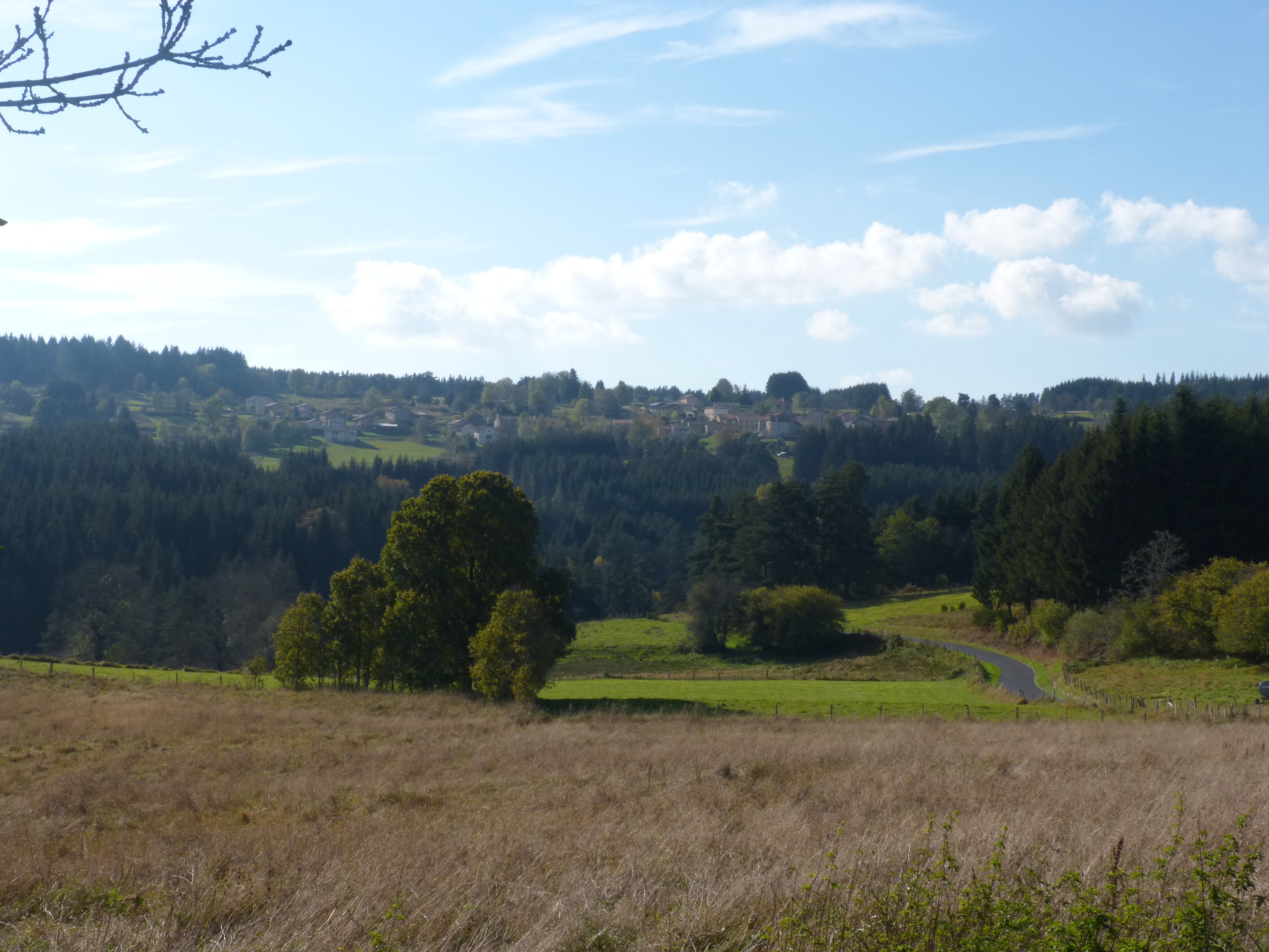
Vue sur le bourg de Doranges
Captured by MDT
Explore Nearby

Dore Loop
The Livradois-Forez Regional Natural Park, a land of grassland and woodland, promises a memorable journey between valleys and ridges.
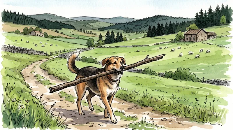
Great Livradois-Forez Mountain-Bike Traverse
In the heart of Auvergne, the Great Livradois-Forez Traverse takes you around the Livradois-Forez Regional Natural Park, between two mountain ranges rising from 400 m to 1,600 m.
Sainte-Elidie Chapel
A beautiful route where you can observe how the Haut-Livradois landscape has evolved and contemplate Sainte-Elidie chapel, a place of legends with a magnificent view over the Dore gorges.