
Elevation Profile
588–1035 m
Departure - From the departure sign go down a small street below and to the right of the D24. Turn immediately right onto a grassy path between 2 low walls. Continue downhill and at the 1st T-junction, turn right and at the 2nd left. At a place called “Le Cerf” cross a stone bridge. Climb through the undergrowth, leaving the path on the right. Continue the ascent to the D24.
1 - Go up it for 20 m and take the path on the left. Continue, ignoring two paths on the left until you reach the hamlet “Le Ceilloux”. At the exit join the D33, take it on the left until Peslières (near the church, a German cannon dating from the 14-18 war). At the exit of the village, go up the tarmac path on the right to Lospeux. Pass in front of the cross on the right, continue to climb the path. Cross several hamlets until you reach the D702.
2 - Cross it, head on the tarmac path to the left of the sawmill. Then at the granite cross, take the middle path and walk through the woods. At the T-junction, turn left onto the forest path. Leave 2 paths on the right. Proceed to the D33 (leaving the woods, viewpoint over the Cézallier mountains, the Monts Dore and the Chaîne des Puys; orientation table on the D33 on the left at 200 m).
3 - Go down a wide path opposite. At the D132E turn left. 400 m after leaving the hamlet of Edmesse, turn right onto a dirt road. At the crossroads, continue straight on until the D266E.
4 - Take the tarmac path opposite. Continue right. At the first house on the right of the hamlet of La Voissière, go down to the right on a path. Cross a first stream on a granite slab, turn left, take a bridge which crosses the Chateauneuf stream. After the bridge, turn left and go straight on, ignoring the path on the right. At an intersection continue right until the crossroads after the hamlet of Rodel.
5 - Turn left. At the fork stay left. 500 m after the place called Charbonne go up to the right in the forest. At a crossroads, continue straight ahead. At the next crossroads of 5 paths (storage area), go down a wide path on the left. Continue straight ahead. At the cross turn left on the road to reach the starting point.
At a Glance
- Duration
- 4.8hrs
- Distance
- 17.6km
- Elevation +
- +612 m
- Elevation -
- -606 m
At a Glance
Live Weather
Departure / Arrival · Champagnat-le-jeune
Live conditions
—
Feels like
—
Wind / gusts
—
Visibility
—
Updated: —
Field notes and images

Champagnat-le-jeune
Captured by Champagnat le jeune Wikipédia
Explore Nearby
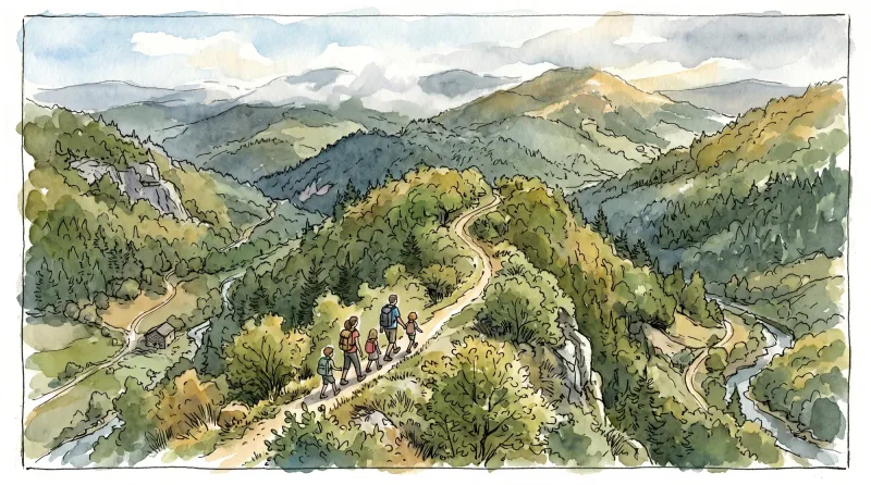
Ridge walk
A circuit in the highlands of Ste-Catherine (14th century church) with panoramic views of the Dôme mountains, the Dore and Cézallier mountains as well as two beautiful crosses in the hamlets of Moulin à vent and Peslières.

Châteaux and Villages in Queen Margot Country (Loop No. 7)
This 60.5 km loop starts and finishes at Sauxillanges - Place de la Promenade, with 1062 m of ascent and an estimated duration of 4 hr 30 min.
Circuit Chabonne
Discover this trail through the heart of Livradois-Forez.