
Illustration in progress
The ascent toward the heights of Vernet-Chaméane reveals a landscape defined by the stern transition between the Issoire basin and the high granite plateaus of the Livradois. Here, the air thins and cools, carrying the sharp scent of damp earth and coniferous shadow. The topography is a dramatic sprawl, reaching altitudes of over a thousand meters where the climate shifts into a rigorous mountain rhythm. It is a territory of dispersed hamlets, where grey stone dwellings appear almost as natural extrusions of the volcanic soil, scattered across forty-six square kilometers of undulating, windswept terrain.
In the shadow of the peaks, the architectural narrative is dominated by the formidable silhouette of the Château de Montfort. Its weathered walls and defensive lines evoke an era when these heights served as essential vantage points for the nobility of Auvergne. Nearby, the Église Saint-Pierre-aux-Liens stands as a testament to medieval piety, its masonry bearing the tactile weight of centuries. The stone here possesses a particular density—a rugged resistance to the alpine winters that define the region’s character—offering a silent chronicle of the lords and laborers who once navigated these steep, unforgiving slopes.
To wander through the unified districts of Vernet-la-Varenne and Chaméane is to observe the modern merging of two distinct historical identities. The village centers, once independent hubs of mountain commerce and agriculture, now share a quiet, administrative bond that belies their ancient origins. One finds a rhythmic stillness in the dispersed settlements, where the silence is only broken by the rustle of the surrounding woods or the chime of a distant bell. It remains a destination for those who appreciate the unvarnished beauty of the Massif Central, where the legacy of the land is felt in every jagged outcrop and every stoic, lichen-covered facade.
Local profile
At a Glance
- Population
- 775
- Demonym
- —
- Altitude
- 542–1051 m
- Forest
- —
residents
local residents
lowest to highest
commune coverage
Did You Know?
“The commune is a modern union of two historically distinct villages, Vernet-la-Varenne and Chaméane, merged as recently as 2019 to preserve their shared mountain heritage.”
Cultural Heritage
A quiet village with authentic Auvergne charm.
Recent Wildlife & Flora Log
Nature observations recorded within 5km of Vernet-Chaméane.
Striped Hawk-moth
Meadow Campion
Lanius collurio Linnaeus, 1758
Orange Swift
Common Sunfish
Four-Spotted Footman
Common Fireweed
Pulmonaria affinis Jord.
Bellis annua L.
Helleborus foetidus L.
Trails around Vernet-Chaméane
Discover physical challenges and natural beauty in the immediate vicinity.
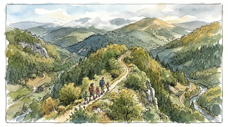
Ridge walk
A circuit in the highlands of Ste-Catherine (14th century church) with panoramic views of the Dôme mountains, the Dore and Cézallier mountains as well as two beautiful crosses in the hamlets of Moulin à vent and Peslières.

Châteaux and Villages in Queen Margot Country (Loop No. 7)
This 60.5 km loop starts and finishes at Sauxillanges - Place de la Promenade, with 1062 m of ascent and an estimated duration of 4 hr 30 min.

Circuit Chabonne
Discover this trail through the heart of Livradois-Forez.
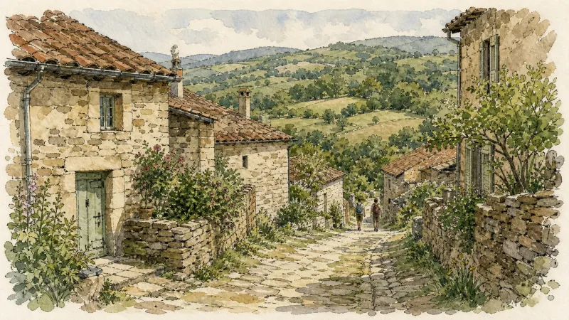
Circuit des moulins
Discover this trail through the heart of Livradois-Forez.
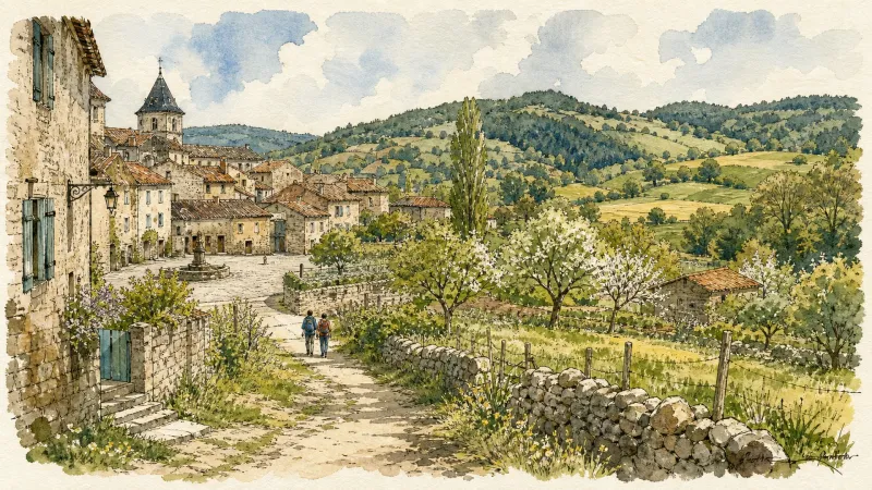
Circuit n°40 Bellevue et le bois de la Vierge
Secteur Saint-Germain-l'Herm
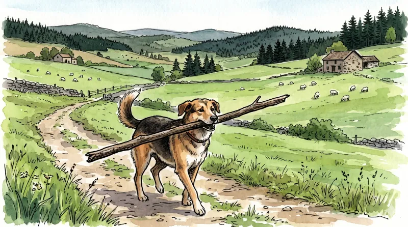
Great Livradois-Forez Mountain-Bike Traverse
In the heart of Auvergne, the Great Livradois-Forez Traverse takes you around the Livradois-Forez Regional Natural Park, between two mountain ranges rising from 400 m to 1,600 m.
Explore Nearby
Complement your visit to Vernet-Chaméane by exploring these neighboring villages.
Saint-Germain-l'Herm
A high-altitude ridge settlement characterized by ancient megalithic sites, a fortified Romanesque priory, and a storied history of timber craftsmanship for the Royal Navy.
Sainte-Catherine
A high-altitude sanctuary where Romanesque simplicity meets the silent, vast stretches of the Forez forests.


