
Illustration in progress
Ascending toward the 1,090-meter crest of Sainte-Catherine, the landscape undergoes a dramatic shift as the domesticated valleys yield to the raw authority of the high plateau. Here, the air thins and sharpens, carrying the scent of damp pine and ancient earth. The commune operates as a constellation of solitary hamlets, where granite dwellings stand as resilient witnesses to the mountain’s capricious climate. To traverse this territory is to enter a realm of profound stillness, where the human presence is a mere whisper against a backdrop of sixty percent forest coverage and expansive, wind-swept meadows.
In the heart of the central hamlet, the Romanesque parish church anchors the horizon with its stoic, unadorned masonry. Its lines are clean and purposeful, eschewing the vanity of later architectural periods in favor of a timeless, structural honesty. This sacred space reflects the grit of the Sainte-Catherinois, a community that has navigated these heights since the 18th century, once numbering hundreds before receding into the quietude of its current fifty-odd residents. The stone itself feels heavy with history, cool to the touch even in the heat of an Auvergne summer, offering a sanctuary of shadow and reflection.
Beyond the architectural stillness, the true allure of a wandering afternoon lies in the intricate network of paths connecting places like Chateauneuf and Planevialle. These routes cut through dense timberlands where light filters in fractured beams through the canopy, illuminating the silver bark of the ash trees that gave the village its traditional secondary name, du Fraisse. The rhythm of the land is dictated by the seasons rather than the clock; it is a destination for the visitor who seeks the textured reality of the Massif Central—the crunch of frost underfoot, the sudden clarity of a mountain vista, and the enduring dignity of a landscape that remains stubbornly unhurried.
Local profile
At a Glance
- Population
- 57
- Demonym
- Sainte-Catherinois
- Altitude
- 639–1090 m
- Forest
- 60.7%
residents
local residents
lowest to highest
commune coverage
Did You Know?
“Although officially recognized as Sainte-Catherine, the village is frequently addressed as Sainte-Catherine-du-Fraisse, a nod to the ancient ash forests that historically defined the landscape.”
Cultural Heritage
A quiet village with authentic Auvergne charm.
Recent Wildlife & Flora Log
Nature observations recorded within 5km of Sainte-Catherine.
Striped Hawk-moth
Meadow Campion
Light Emerald
Red-Belted Bracket
Meadow Brown
Bilberry
Lanius collurio Linnaeus, 1758
Anec coll-verd
Cadernera
Eurasian Jay
Trails around Sainte-Catherine
Discover physical challenges and natural beauty in the immediate vicinity.
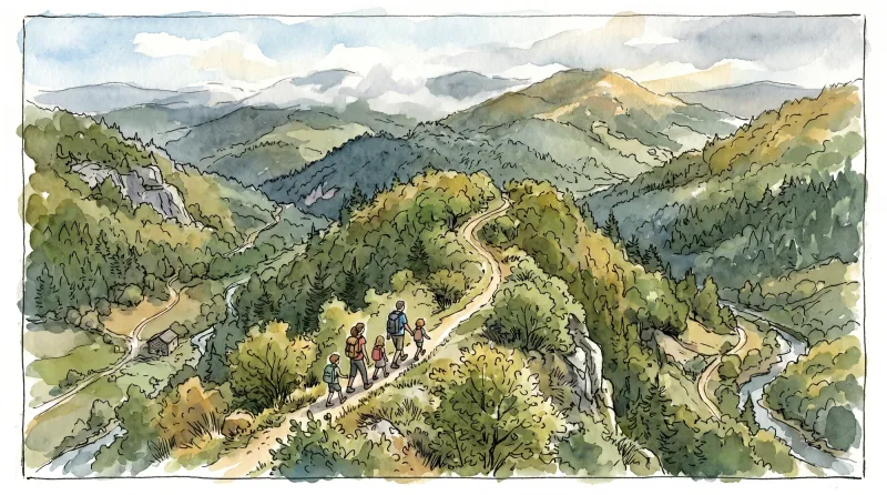
Ridge walk
A circuit in the highlands of Ste-Catherine (14th century church) with panoramic views of the Dôme mountains, the Dore and Cézallier mountains as well as two beautiful crosses in the hamlets of Moulin à vent and Peslières.
Great Livradois-Forez Mountain-Bike Traverse
In the heart of Auvergne, the Great Livradois-Forez Traverse takes you around the Livradois-Forez Regional Natural Park, between two mountain ranges rising from 400 m to 1,600 m.

The Three Valleys
Departure - From the departure sign go down a small street below and to the right of the D24. Turn immediately right onto a grassy path between 2 low walls. Continue downhill and at the 1st T-junction, turn right and at the 2nd left. At a place called “Le Cerf” cross a stone bridge. Climb through the undergrowth, leaving the path on the right. Continue the ascent to the D24. 1 - Go up it for 20 m and take the path on the left. Continue, ignoring two paths on the left until you reach the hamlet “Le Ceilloux”. At the exit join the D33, take it on the left until Peslières (near the church, a German cannon dating from the 14-18 war). At the exit of the village, go up the tarmac path on the right to Lospeux. Pass in front of the cross on the right, continue to climb the path. Cross several hamlets until you reach the D702. 2 - Cross it, head on the tarmac path to the left of the sawmill. Then at the granite cross, take the middle path and walk through the woods. At the T-junction, turn left onto the forest path. Leave 2 paths on the right. Proceed to the D33 (leaving the woods, viewpoint over the Cézallier mountains, the Monts Dore and the Chaîne des Puys; orientation table on the D33 on the left at 200 m). 3 - Go down a wide path opposite. At the D132E turn left. 400 m after leaving the hamlet of Edmesse, turn right onto a dirt road. At the crossroads, continue straight on until the D266E. 4 - Take the tarmac path opposite. Continue right. At the first house on the right of the hamlet of La Voissière, go down to the right on a path. Cross a first stream on a granite slab, turn left, take a bridge which crosses the Chateauneuf stream. After the bridge, turn left and go straight on, ignoring the path on the right. At an intersection continue right until the crossroads after the hamlet of Rodel. 5 - Turn left. At the fork stay left. 500 m after the place called Charbonne go up to the right in the forest. At a crossroads, continue straight ahead. At the next crossroads of 5 paths (storage area), go down a wide path on the left. Continue straight ahead. At the cross turn left on the road to reach the starting point.
Explore Nearby
Complement your visit to Sainte-Catherine by exploring these neighboring villages.
Champagnat-le-Jeune
A high-altitude rural enclave where the silence of the Livradois-Forez forests meets the austere beauty of Romanesque masonry.
Peslières
A high-altitude sanctuary of ancient granaries and deep timberlands, offering a somber Gothic church and the echoes of the noble Du Drac lineage.
Saint-Germain-l'Herm
A high-altitude ridge settlement characterized by ancient megalithic sites, a fortified Romanesque priory, and a storied history of timber craftsmanship for the Royal Navy.


