
Elevation Profile
602–878 m
From the town hall car park in Celles-sur-Durolle, follow the surfaced road to the left. Take the first road on the right, which passes the school, then continue on the main road as it bends left. At the T-junction, take the grassy track descending straight ahead, just after the electricity transformer. By a cross, continue on the same track; cross the stream and continue through the meadows (viewpoint over the village of Saint-Rémy-sur-Durolle).
(1) At the fork, follow the same track as it bears slightly left. At the cross, follow the road straight ahead for 20m, then take the track on the left. At the junction, continue straight ahead to L’Obstancie. In the hamlet, by the cross, climb the small road on the right.
(2) 20m further on, cross the D7E and take the track opposite heading left. Continue on the first track on the left. At the isolated house, take the track on the right and, 50m further on, turn onto the track on the left that descends. At the T-junction, turn left and climb to La Vacherie.
(3) At the entrance to the hamlet, at the fork, bear slightly right on the same road. Follow this road (viewpoint over the Chaîne des Puys). Continue for 500m, then leave the road for a track on the left. Follow the edge of the meadow, pass the ruined house, then continue straight ahead. Go around the two ponds to reach a broader track.
(4) Follow it to the right, then turn onto the first track on the left towards Château de Vaulx. Continue straight ahead to the road and follow it to return to the D7. Take the road opposite towards Rochemulet. Leave this road for the second vehicle track on the left (just after a left-hand bend) to climb Puy d’Oscot. Follow the main track to a timber-loading area.
(5) Continue on the track heading right. At the fork, take the track on the left. At the T-junction, turn onto the track on the left. At the next junction, take the track straight ahead that descends. 50m before the surfaced road, take the track on the left to reach the junction at Croix des Olmes.
(6) Follow the D102 to the left for 10 m, then the D321 to the right; immediately turn left to take the track climbing to the left through the meadows and into the woods. Stay on the main track straight ahead. At the next fork, turn right to reach a small surfaced road.
(7) Follow it to the right. Cross the stream and, 10m further on, take the track straight ahead into the woods. At the next junction by a cross, continue straight ahead, passing the sports complex on its right, until you reach the D7. Cross it and head towards the village centre. Continue straight ahead to return to the town hall car park in Celles-sur-Durolle.
At a Glance
- Duration
- 4.5hrs
- Distance
- 15.3km
- Elevation +
- +470 m
- Elevation -
- -470 m
At a Glance
Live Weather
Departure / Arrival · Parking de la mairie
Live conditions
—
Feels like
—
Wind / gusts
—
Visibility
—
Updated: —
Field notes and images

Château de Vaulx
Captured by MDT
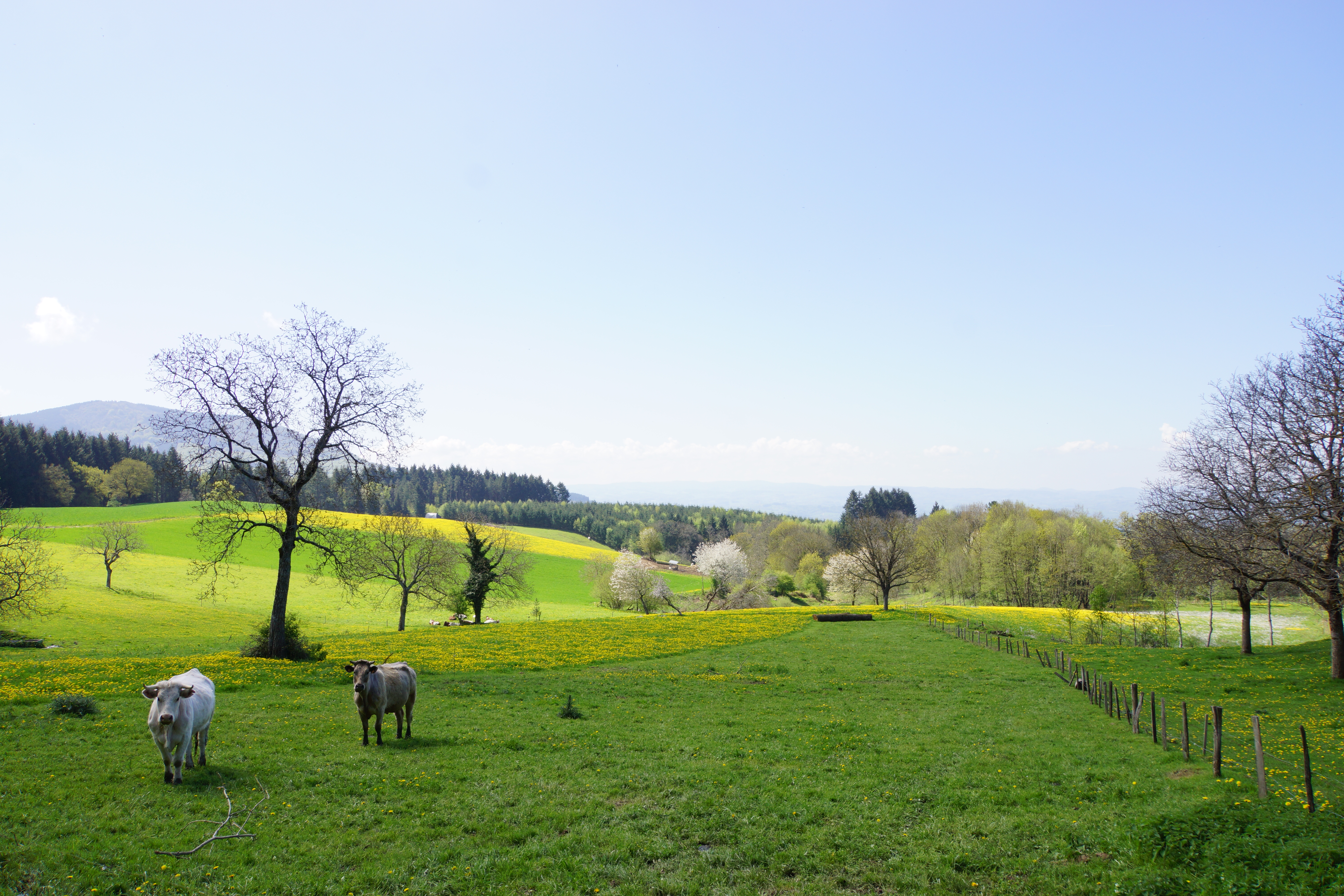
Puy d'Oscot
Captured by MDT

Puy d'Oscot
Captured by MDT
Explore Nearby
Des Margerides au Grun de Chignore (circuit route n°7)
Discover this trail through the heart of Livradois-Forez.
Fontbonne (circuit n°29)
Discover this trail through the heart of Livradois-Forez.

GR®3 — The Forez Mountains
The GR®3 is a legendary long-distance trail following the Loire, one of Europe’s last wild rivers, for 1,200 km. It begins at the river’s source on Mont Gerbier de Jonc and continues to its estuary near Guérande. The section across the Forez mountains unfolds through a succession of striking panoramas, peat bogs, moorland, winding rivers and vast open spaces.