
Illustration in progress
Rising toward the heavens on the Plateau du Haut-Velay granitique, Cistrières is a domain where the earth’s ancient geological skeleton is visible through the dense canopy of the Livradois-Forez. With nearly eighty percent of its territory shrouded in deep woodland, the air here carries a crisp, alpine clarity, often hovering at elevations exceeding eleven hundred meters. The landscape is defined by a sparse, intentional distribution of stone dwellings, where the raw texture of the native rock—traditionally called sistre or puddingstone—mirrors the rugged resilience of the high-altitude climate. It is a place for quiet observation, where the transition from forest shadow to open, sun-drenched pasture follows a rhythm unchanged for centuries.
At the heart of the village stands the Église Saint-Pierre, a testament to the enduring sobriety of Romanesque design. Its twelfth-century apse, recognized for its historical significance since the early twentieth century, presents a masterclass in noble, unadorned proportions. The masonry exhibits the local granite’s varied hues, weathered by centuries of mountain winters yet retaining a formidable, silent dignity. Nearby, the communal fountain serves as a focal point for the village square, its steady flow punctuating the stillness that characterizes this remote settlement. Wandering through the central cluster of buildings reveals a vernacular architecture that prioritizes function and endurance, providing a starkly beautiful contrast to the softer valleys below.
Beyond the immediate village center, the commune unfolds into a constellation of eighteen distinct hamlets, each offering a unique perspective on the Velay landscape. Names like Madriat, Pervanchères, and Chatonnet evoke the linguistic heritage of the Occitan tongue, marking small outposts of human presence amidst the encroaching wild. These satellites are reached via narrow lanes that wind through a mosaic of diverse agricultural plots and sprawling forests. Exploring these outposts provides an intimate look at the dispersed habitat typical of the region, where every stone wall and timber beam tells a story of adaptation to the granite heights. An afternoon spent navigating these quiet corridors offers a profound sense of the solitude and structural elegance that defines the upper reaches of the Haute-Loire.
Local profile
At a Glance
- Population
- 136
- Demonym
- —
- Altitude
- 711–1155 m
- Forest
- 78.7%
residents
local residents
lowest to highest
commune coverage
Did You Know?
“The name Cistrières is derived from the Occitan word "sistriero," referring to a place where savory abounds, or "sistre," a local term for the specific tuff and puddingstone found in the village soil.”
Cultural Heritage
Protected historic monuments in Cistrières
Eglise Saint-Pierre
Cistrières
Recent Wildlife & Flora Log
Nature observations recorded within 5km of Cistrières.
Grey Spotted Amanita
Comma
Admirals
Marbled White
Puss Moth
Carpenter Bees
Silver-washed Fritillary
Cabbage White
Small Tortoiseshell
Dotted Loosestrife
Explore Nearby
Complement your visit to Cistrières by exploring these neighboring villages.
Berbezit
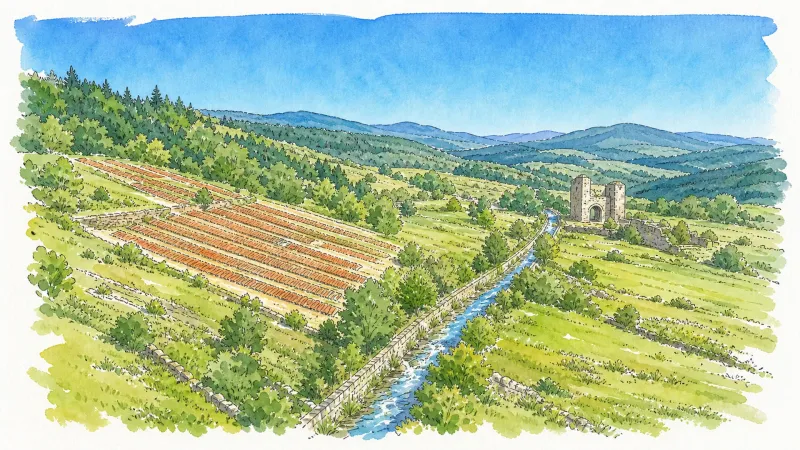
A high-altitude sanctuary on the granitic plateau of the Velay, where ancient mill ruins and a former seigneurial chapel are enveloped by a dense, resinous forest.
Connangles
A high-altitude sanctuary where ancient monastic history meets the dense, whispering forests of the granite plateau.
La Chaise-Dieu
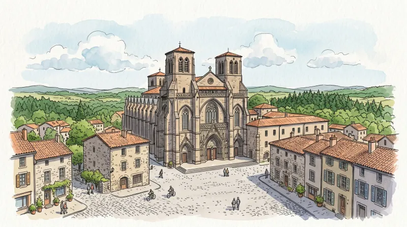
An architectural titan of the high granite plateau, featuring a world-renowned Benedictine abbey, haunting Danse Macabre frescoes, and a legacy of papal ambition.
La Chapelle-Geneste
A high-altitude sanctuary defined by sprawling forests, a magnificent curved stone viaduct, and deep ties to the monastic power of La Chaise-Dieu.
Laval-sur-Doulon
A high-altitude sanctuary where the phantom echoes of Templar knights linger amidst eighty-five percent forest coverage and ancient granite ruins.
Saint-Alyre-d'Arlanc
A high-altitude forest enclave defined by a tragic martyr's legend and the austere granite lines of 13th-century fortifications.
Saint-Didier-sur-Doulon
A vertical landscape of dense forests and feudal stone, where the Doulon river flows beneath the gaze of the monumental Château de Servières.
Sembadel
A high-altitude silvan enclave where railway history meets the nascent springs of the Senouire river amidst dense resinous forests.


