
Illustration in progress
Upon the granite folds of the Haut-Velay, Connangles reveals itself as a silent witness to the medieval reach of the Abbey of La Chaise-Dieu. This former 13th-century priory occupies a landscape defined by sharp topographical corners—a geometry reflected in its very name. Wandering through the dispersed settlement, one feels the weight of centuries-old monastic influence that once governed these high reaches. The air here carries a distinct sharpness, typical of the mountain margins, where the human presence remains sparse and the rhythm of life is dictated by the slow shift of shadows across weathered stone facades.
The Église Saint-Étienne stands as the architectural anchor of the village, a protected monument that embodies the stoic resilience of Auvergnat Romanesque traditions. Its masonry, hewn from the local bedrock, possesses a tactile coarseness that softens only under the direct glare of the midday sun. Within its walls, the silence is profound, offering a cool respite from the summer heat or a sanctuary against the biting winds of the plateau. The church is not merely a relic but a physical connection to the era when the monks of the Casa Dei extended their spiritual and temporal mantle over these rugged hillsides.
Beyond the village center, the territory dissolves into the formidable density of the Lamandie and La Garde forests, which claim over seventy percent of the landscape. These arboreal stretches are intersected by the crystalline veins of the Senouire and the Barlière streams, creating a terrain where the boundary between cultivated land and wilderness remains beautifully blurred. High-altitude meadows offer sweeping views across the Livradois-Forez, yet the true allure of an afternoon here lies in the sensory details: the scent of damp pine needles, the rhythmic rush of the Pissis brook, and the noble lines of a community that has endured at eleven hundred meters for nearly a millennium.
Local profile
At a Glance
- Population
- 131
- Demonym
- —
- Altitude
- 873–1145 m
- Forest
- 71.3%
residents
local residents
lowest to highest
commune coverage
Did You Know?
“The name Connangles is thought to derive from the Occitan word 'conh', referring to the distinct angular shape of the communal borders.”
Cultural Heritage
Protected historic monuments in Connangles
Eglise Saint-Etienne
Connangles
Recent Wildlife & Flora Log
Nature observations recorded within 5km of Connangles.
English Primrose
Marsh Valerian
Yellow Gentian
Green Carpet
Striped Hawk-moth
Peach Blossom
Common Cow-Wheat
Chrysotoxum lessonae Giglio-Tos, 1890
Three-Humped Prominent
Purple Cloud
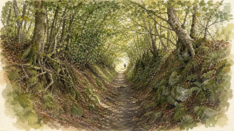
Trails around Connangles
Discover physical challenges and natural beauty in the immediate vicinity.
Explore Nearby
Complement your visit to Connangles by exploring these neighboring villages.
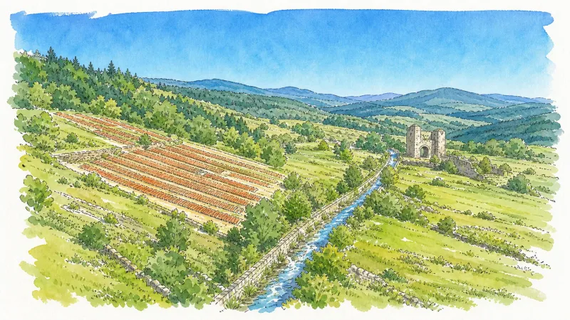
Berbezit
A high-altitude sanctuary on the granitic plateau of the Velay, where ancient mill ruins and a former seigneurial chapel are enveloped by a dense, resinous forest.
Collat
A high-altitude sanctuary of silence and granite, where the dense forests of the Haute-Loire meet the ancient social echoes of the Massif Central.
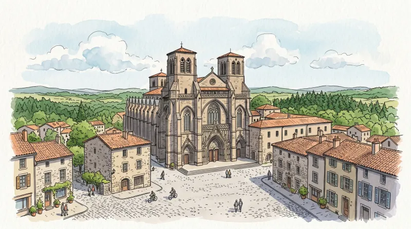
La Chaise-Dieu
An architectural titan of the high granite plateau, featuring a world-renowned Benedictine abbey, haunting Danse Macabre frescoes, and a legacy of papal ambition.
La Chapelle-Geneste
A high-altitude sanctuary defined by sprawling forests, a magnificent curved stone viaduct, and deep ties to the monastic power of La Chaise-Dieu.
Saint-Pal-de-Senouire
A high-altitude sanctuary where the Senouire river cuts through ancient granite plateaus and dense fir forests.
Sembadel
A high-altitude silvan enclave where railway history meets the nascent springs of the Senouire river amidst dense resinous forests.


