
Elevation Profile
521–823 m
Start: From the church square in Sainte-Agathe, follow the D102 to the left as far as the cemetery. Turn right towards the cemetery entrance. The road becomes a track. Continue descending straight ahead to the D7. Cross it and take the surfaced road opposite towards Mousset.
1. At the junction, leave the surfaced road and take the track climbing straight ahead. Continue on the main track to the surfaced road. Turn right and cross the village of Raffy. Continue on the track climbing straight ahead through the woods. After 150 m, at the fork, take the track on the right. Continue uphill on the main track. At the fork on reaching the village of Rochemulet, continue climbing to the left.
2. 50 m further on, by a cross, take the vehicle track on the right (views of the Chaîne des Puys, the Massif du Sancy and the Bois Noirs). Continue downhill on the main track (a very fine paved track) until you cross a stream. Continue on the track bearing slightly right. At the T-junction, take the track descending to the right, then pass a water reservoir on its left. Continue on the main track to the village of La Chaize Haute (views of the Chaîne des Puys and the Massif du Sancy).
3. In the centre of the village, take the track on the left. 50 m further on, at the fork, turn onto the track on the right, which descends to the surfaced road (views of the Chaîne des Puys and the Massif du Sancy). Follow it to the right for 50 m, then take the track descending opposite. At the T-junction, opposite a pond, turn onto the vehicle track on the left, pass through Moulin des Vernières and return to the D7.
4. Follow it to the left for 50 m, then turn onto the first track climbing to the right. Continue uphill to the surfaced road and turn right. After 350 m, take a path climbing to the left. At the surfaced road, turn right and continue to the village of Sainte-Agathe to return to the car park in the village centre.
At a Glance
- Duration
- 3.0hrs
- Distance
- 9.1km
- Elevation +
- +389 m
- Elevation -
- -387 m
At a Glance
Live Weather
Departure / Arrival · Sainte-Agathe
Live conditions
—
Feels like
—
Wind / gusts
—
Visibility
—
Updated: —
Field notes and images

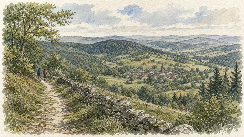
Point de vue
Captured by Maison du Tourisme Sébastien Giraud
Explore Nearby

Quatre Vents Challenge (Road Circuit No. 14)
One of the shortest circuits designed as a loop from the national cycle-touring centre, this route uses many quiet minor roads. Follow the directions carefully to avoid losing the route. Take particular care on the road after Néronde, especially when turning left off the D906.

Forez Circuit — Les Hautes-Chaumes (Loop No. 5)
This route reveals nature that is still wild in places: Livradois-Forez and its vast, rolling upland plateaus, including Les Hautes-Chaumes.
Des Hautes-Chaumes au Livradois (circuit route n°8)
Discover this trail through the heart of Livradois-Forez.