
Elevation Profile
283–820 m
At a Glance
- Duration
- 3.5hrs
- Distance
- 35.8km
- Elevation +
- +779 m
- Elevation -
- -777 m
At a Glance
Live Weather
Departure / Arrival · Thiers (base de loisirs d'Iloa)
Live conditions
—
Feels like
—
Wind / gusts
—
Visibility
—
Updated: —
Important Advice
La randonnée VTT vous emmène sur des sentiers partagés.
Pour que tout se passe bien, merci de respecter ces quelques principes :
A VTT vous partagez l’espace naturel avec d’autres utilisateurs et évoluez dans un environnement parfois fragile.
Soyez donc courtois et respectez la nature !
Le code du VTTiste vise à promouvoir un état d’esprit et une façon de pratiquer qui doivent devenir habituels
MERCI DONC DE RESPECTER LES RÈGLES SUIVANTES
- Empruntez les chemins balisés pour votre sécurité et respectez le sens des itinéraires
- Ne surestimez pas vos capacités et restez maître de votre vitesse
- Soyez prudent et courtois lors de dépassements ou croisements de randonneurs car le piéton est prioritaire
- Contrôlez l’état de votre VTT et prévoyez ravitaillement et accessoires de réparation
- Si vous partez seul, laissez votre itinéraire à votre entourage
- Portez un casque
- Respectez les propriétés privées et les zones de cultures
- Attention aux engins agricoles et forestiers
- Refermez les barrières
- Evitez la cueillette sauvage de fleurs, fruits et champignons
- Ne troublez pas la tranquillité des animaux sauvages
- Gardez vos détritus, soyez discret et respectueux de l’environnement
Field notes and images
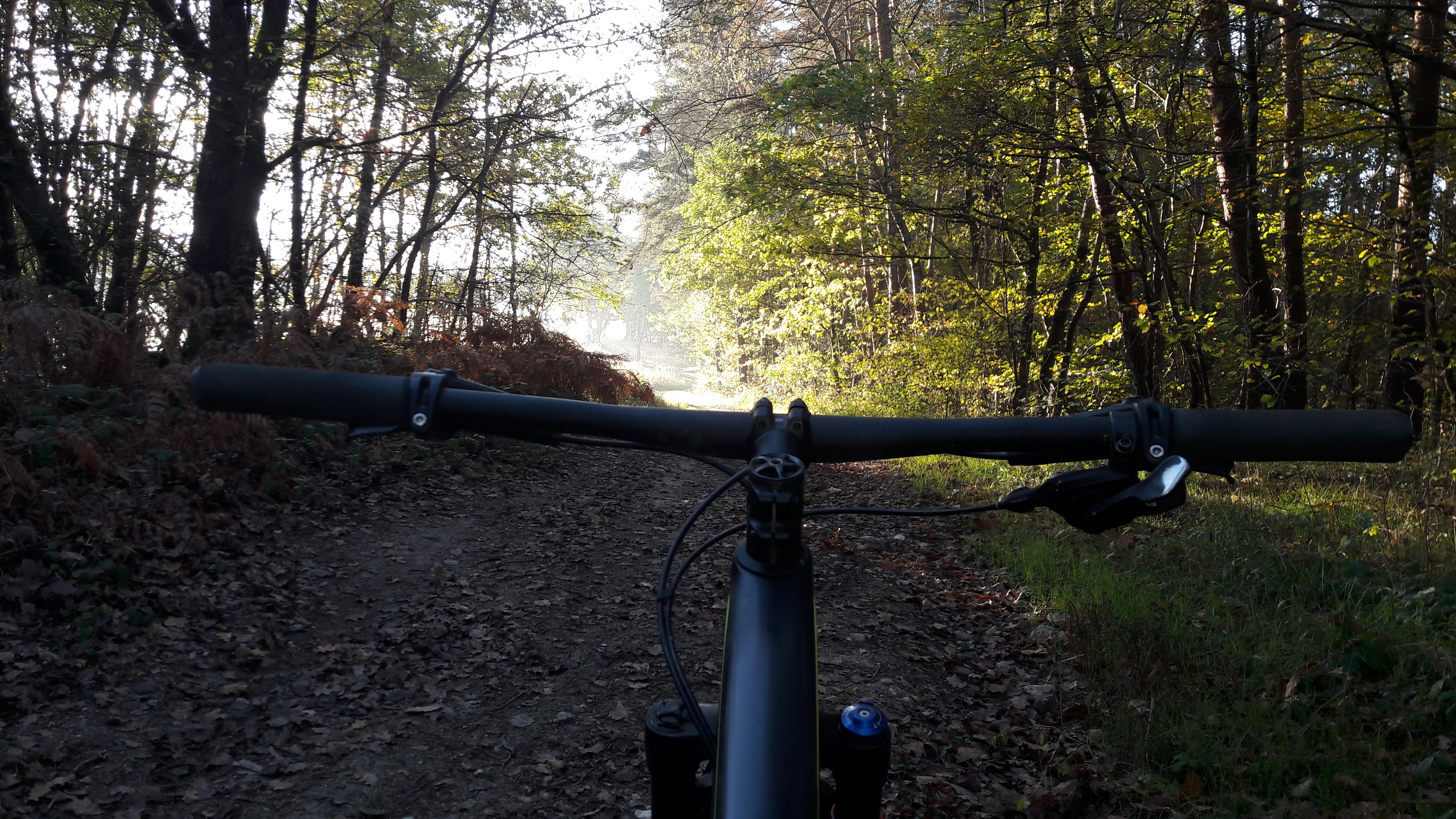
chemin
Captured by Centre VTT Bois Noirs
Explore Nearby
Around Noalhat
D - From the car park behind the Noalhat town hall, take the road on the left. At the T-junction, turn right onto the D44b until the intersection with the D44. Continue on the road opposite towards Paslières. In the village of “Croix des Ferrats” take the road on the left towards Lavaure. The road becomes a path. 1 At the T-junction, turn onto the road on the right. At the next intersection, turn left then right (Église de Paslières). At the exit of the village, take the path on the right. At the next crossroads of 4 paths, turn onto the right to reach the village of “La Ville”. Then take the road on the left until the next crossroads. Cross the road and continue on the main path to the village of “La Meille”. 2 At the next crow’s foot, take the path on the left and continue to the village of “Chez Foury”. In the center of the village, take the path which goes to the right to the village of “Chez Colas”. Then take the asphalt road on the left until you find the D44. 3 Cross it and continue straight on the main road. After the village of “Champ Morel”, continue on the road opposite to reach the car park behind the Noalhat town hall.
Bariande
This 5.1 km loop starts and finishes at Palladuc, with 179 m of ascent and an estimated duration of 1 hr 18 min.

Quatre Vents Challenge (Road Circuit No. 14)
One of the shortest circuits designed as a loop from the national cycle-touring centre, this route uses many quiet minor roads. Follow the directions carefully to avoid losing the route. Take particular care on the road after Néronde, especially when turning left off the D906.