
Elevation Profile
735–905 m
D. From the square in Le Vernet-la-Varenne, take the street climbing to the left of the start information panel. In front of the church, turn left (view of Château de Montfort) and continue straight ahead on the D75. In front of the cemetery, descend a track on the left. At the junction of 3 tracks, continue straight ahead. Reach the surfaced road in the village of Fougères and follow it to the left for 50m.
1. After the buildings, take a track on the right. Keep to the main track until the surfaced road. Cross it and take the path on the left. Stay on the main track, ignoring a track on the right, as far as a fork. Continue downhill to the right to the former Moulin de la Rode. Cross the Veysson stream and follow the road to the right to the former Moulin du Prat.
2. On the bend, leave the road and climb the track straight ahead. At the junction, continue straight ahead and, 30m further on, climb the path on the left. Continue straight ahead at the next junction to the farm building. Keep to the track straight ahead alongside a meadow, then enter the woods. Continue straight ahead at the following junctions until you leave the woods and reach the crossroads of 4 tracks.
3. Take the track descending to the right towards the village of Fridevialle. In the village, turn right. The surfaced road becomes a track. Ignore a track on the left and continue to the road at the entrance to Les Vialettes. Follow it to the right through the village. On leaving it, take the leftmost track. Ignore the vehicle track on the left.
4. Just before entering the village of La Chotte, climb a track on the left through the woods. At the junction, continue climbing straight ahead. At the crossroads of 4 tracks, continue straight ahead to the village of La Faye (views of the Massif du Sancy, the Chaîne des Puys and Plomb du Cantal). Follow the road straight ahead and, on leaving the village, turn onto the track on the left. Continue to Le Vernet-la-Varenne, take the road to the left behind the church, then turn right after the fountain to return to the start of the route.
At a Glance
- Duration
- 3.3hrs
- Distance
- 11.4km
- Elevation +
- +320 m
- Elevation -
- -323 m
At a Glance
Live Weather
Departure / Arrival · Le Vernet la Varenne
Live conditions
—
Feels like
—
Wind / gusts
—
Visibility
—
Updated: —
Field notes and images
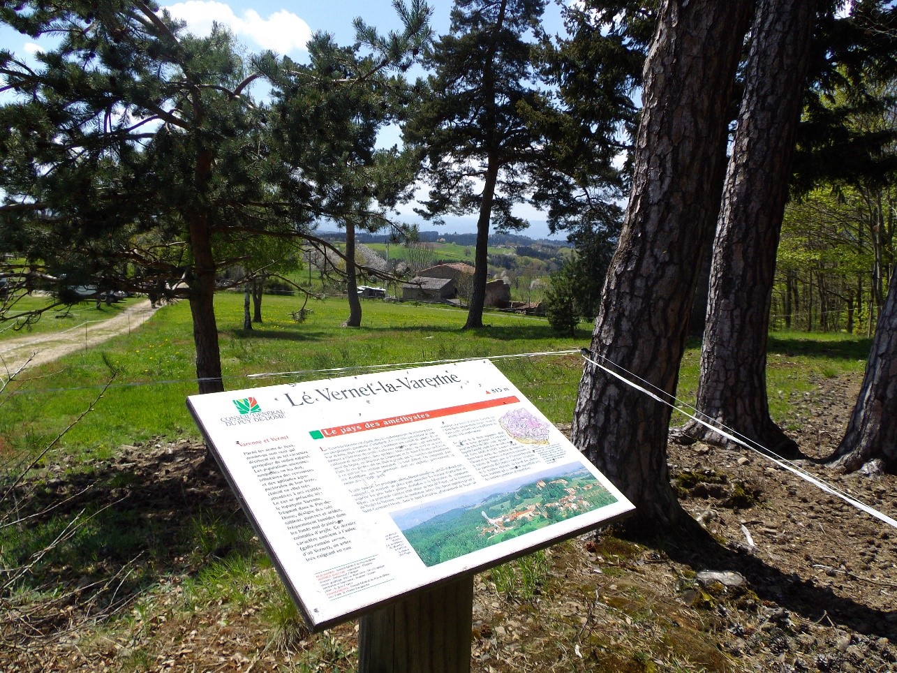
table de lecture au vernet la varenne
Captured by mairie du Vernet la Varenne
Explore Nearby
Ridge walk
A circuit in the highlands of Ste-Catherine (14th century church) with panoramic views of the Dôme mountains, the Dore and Cézallier mountains as well as two beautiful crosses in the hamlets of Moulin à vent and Peslières.

Châteaux and Villages in Queen Margot Country (Loop No. 7)
This 60.5 km loop starts and finishes at Sauxillanges - Place de la Promenade, with 1062 m of ascent and an estimated duration of 4 hr 30 min.

Circuit Chabonne
Discover this trail through the heart of Livradois-Forez.