
Illustration in progress
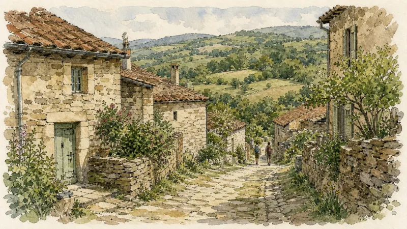
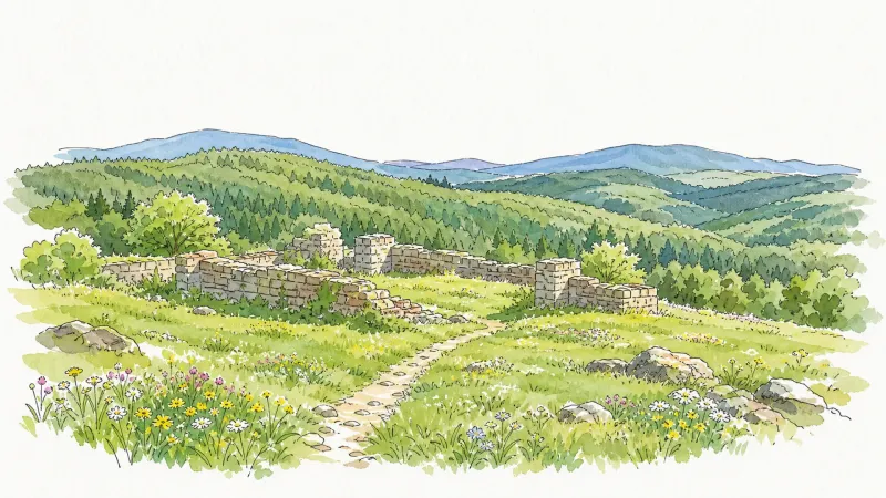
The architectural narrative of Saint-Genès-la-Tourette is one of quiet transition from medieval fortification to Enlightenment elegance. Its namesake, “La Tourette,” refers to a 13th-century guard tower that once served as a tactical sentinel for the lords of Drac, marking this territory as a rugged hunting relay. While the village center possesses a church with foundations reaching back to the 12th century, the landscape is defined by the Maison Forte du Réal, a stout defensive manor that anchored the feudal life of the local nobility for centuries. The weight of the grey granite and the deliberate, defensive posture of these early structures provide a stark contrast to the sweeping, emerald meadows that rise toward the 1,046-meter summit.
In the mid-18th century, the aesthetic of the commune shifted as the Chassaigne de Sereys family erected the Château de Saint-Genès, a structure that would later become an intellectual crucible. This estate famously provided a clandestine sanctuary for André Gide during the dark summer of 1940; the Nobel laureate found the stillness of these high-altitude woods conducive to reflection while the world below was in upheaval. The château, alongside the writings of Roland Cailleux—who immortalized the village in Saint-Genès ou la vie brève—imbues the local stone with a rare literary gravity. Walking the perimeter of these estates reveals a refined Auvergnat classicism, where the sharp lines of the roofscapes cut cleanly against the often-misty horizon.
The geography of the commune eschews a traditional, dense center in favor of a “habitat très dispersé,” a constellation of forty-two hamlets scattered across nearly twenty square kilometers of undulating terrain. This fragmentation invites a slow, rhythmic exploration of the various lieux-dits, such as the ancient farm of Maredon or the iron-working echoes of La Farge. Over a third of the land is surrendered to deep forest, creating a sensory experience dominated by the scent of damp pine and the visual texture of lichen-covered walls. It is a destination defined by its verticality and its silence, where the atmospheric pressure of the high Livradois heightens the sense of being entirely removed from the modern temporal flow.
Local profile
At a Glance
- Population
- 195
- Demonym
- —
- Altitude
- 639–1046 m
- Forest
- 35.3%
residents
local residents
lowest to highest
commune coverage
Did You Know?
“In 1940, Nobel laureate André Gide sought refuge from the turmoil of war within the walls of the local château, brought there by his physician and fellow writer Roland Cailleux.”
Cultural Heritage
A quiet village with authentic Auvergne charm.
Recent Wildlife & Flora Log
Nature observations recorded within 5km of Saint-Genès-la-Tourette.
Striped Hawk-moth
Lanius collurio Linnaeus, 1758
Orange Swift
Cloaked Carpet
Weaver's Fritillary
Common Sunfish
Four-Spotted Footman
European woodrush
Common Bittercress
Large Gray Willow
Trails around Saint-Genès-la-Tourette
Discover physical challenges and natural beauty in the immediate vicinity.

Châteaux and Villages in Queen Margot Country (Loop No. 7)
This 60.5 km loop starts and finishes at Sauxillanges - Place de la Promenade, with 1062 m of ascent and an estimated duration of 4 hr 30 min.
Circuit des moulins
Discover this trail through the heart of Livradois-Forez.
Great Livradois-Forez Mountain-Bike Traverse
In the heart of Auvergne, the Great Livradois-Forez Traverse takes you around the Livradois-Forez Regional Natural Park, between two mountain ranges rising from 400 m to 1,600 m.
Château de La Fayette
This route is dedicated to the château belonging to the family of the famous General Lafayette. From a typical Livradois village of granite houses, it looks out over the Cézallier and Sancy. The woodland route passes close to a former amethyst quarry.
Moulin de la Rode
D. From the square in Le Vernet-la-Varenne, take the street climbing to the left of the start information panel. In front of the church, turn left (view of Château de Montfort) and continue straight ahead on the D75. In front of the cemetery, descend a track on the left. At the junction of 3 tracks, continue straight ahead. Reach the surfaced road in the village of Fougères and follow it to the left for 50m. 1. After the buildings, take a track on the right. Keep to the main track until the surfaced road. Cross it and take the path on the left. Stay on the main track, ignoring a track on the right, as far as a fork. Continue downhill to the right to the former Moulin de la Rode. Cross the Veysson stream and follow the road to the right to the former Moulin du Prat. 2. On the bend, leave the road and climb the track straight ahead. At the junction, continue straight ahead and, 30m further on, climb the path on the left. Continue straight ahead at the next junction to the farm building. Keep to the track straight ahead alongside a meadow, then enter the woods. Continue straight ahead at the following junctions until you leave the woods and reach the crossroads of 4 tracks. 3. Take the track descending to the right towards the village of Fridevialle. In the village, turn right. The surfaced road becomes a track. Ignore a track on the left and continue to the road at the entrance to Les Vialettes. Follow it to the right through the village. On leaving it, take the leftmost track. Ignore the vehicle track on the left. 4. Just before entering the village of La Chotte, climb a track on the left through the woods. At the junction, continue climbing straight ahead. At the crossroads of 4 tracks, continue straight ahead to the village of La Faye (views of the Massif du Sancy, the Chaîne des Puys and Plomb du Cantal). Follow the road straight ahead and, on leaving the village, turn onto the track on the left. Continue to Le Vernet-la-Varenne, take the road to the left behind the church, then turn right after the fountain to return to the start of the route.
Explore Nearby
Complement your visit to Saint-Genès-la-Tourette by exploring these neighboring villages.
Aix-la-Fayette
An evocative high-altitude excursion to the ancestral cradle of the La Fayette lineage, offering panoramic volcanic views and forest-bound ruins.
Saint-Germain-l'Herm
A high-altitude ridge settlement characterized by ancient megalithic sites, a fortified Romanesque priory, and a storied history of timber craftsmanship for the Royal Navy.
Saint-Quentin-sur-Sauxillanges
A high-altitude retreat defined by rugged granite outcroppings, a fortified Gallic history, and a Romanesque church bearing centuries-old ironwork.


