
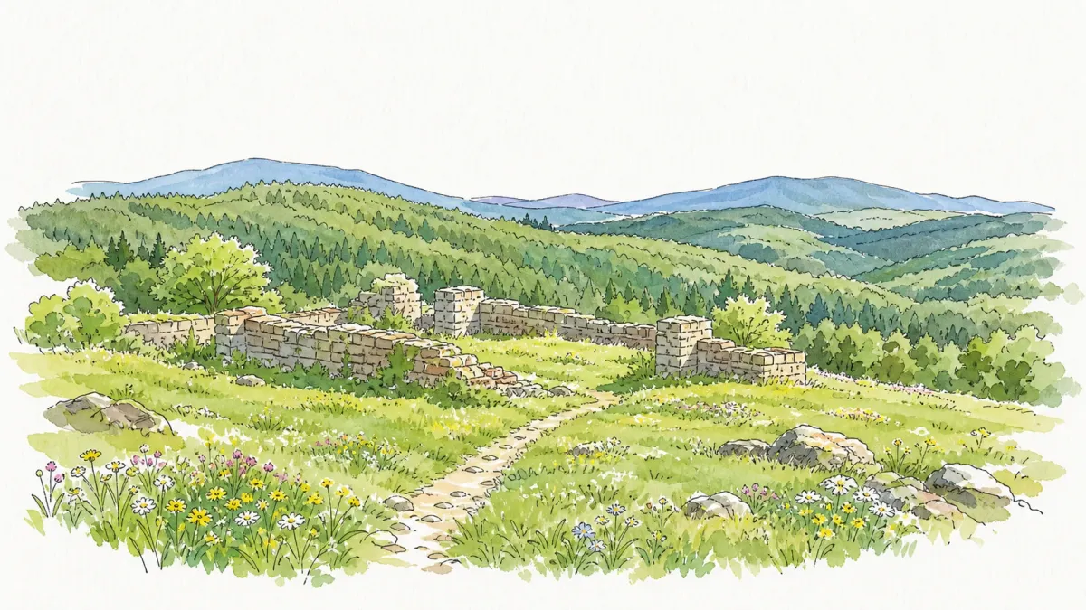
High in the Livradois range, where the altitude climbs past a thousand meters, the air carries a specific, resinous clarity born from the sprawling coniferous forests that claim two-thirds of the territory. This is the ancestral cradle of the Motier de La Fayette lineage, a name synonymous with revolutionary fervor and aristocratic grit. Long before the Marquis crossed the Atlantic to secure his place in history, his predecessors held these rugged heights, establishing a feudal presence upon a primitive motte castrale. The landscape remains a testament to this sparse, enduring nobility, where the granite of the Earth meets the relentless sky of the Auvergne-Rhône-Alpes.
Little remains of the original fortress save for its foundational stones, now serving as the silent pedestal for a more recent residence. Standing amidst these ancient soubassements on a clear afternoon, the horizon reveals the jagged silhouettes of the Sancy and the distant, rounded crest of the Puy de Dôme. The local architecture, punctuated by the 19th-century church once dedicated to Saint-Julien, reflects a stoic response to the mountain climate. The stone walls of the village center and the nearby remnants of the Fangonnet and La Bessière estates offer a tangible connection to a century when the La Fayette family eventually traded these harsh winters for the softer climes of Versailles and Paris.
Wandering through the dispersed hamlets like Ladoux or Thirel, one encounters the quiet rhythm of a rural commune where the population has retreated to fewer than a hundred residents. The terrain is a mosaic of high-altitude prairies and dense woodland, occasionally broken by the stark lines of an old farmhouse or a field of vibrant ferns. It is a place of profound stillness, suited for those who seek to trace the vanished lines of history through the texture of overgrown ruins and the undulating topography of the Livradois. Here, the legacy of a global figure is reduced to its most intimate, earthen origins, stripped of pomp and returned to the quietude of the forest.
Local profile
At a Glance
- Population
- 97
- Demonym
- Aixois
- Altitude
- 842–1109 m
- Forest
- 67.1%
residents
local residents
lowest to highest
commune coverage
Did You Know?
“Though the famous Marquis de La Fayette never personally visited this commune, it remains the original feudal seat from which his family name originates.”
Cultural Heritage
A quiet village with authentic Auvergne charm.
Recent Wildlife & Flora Log
Nature observations recorded within 5km of Aix-la-Fayette.
Powdered Quaker
Engrailed
Early Tooth-Striped
Red Chestnut
Early Grey
Brindled Beauty
March Moth
Black Cutworm
Diamond Backed Moth
March Tubic
Trails around Aix-la-Fayette
Discover physical challenges and natural beauty in the immediate vicinity.
By the stream
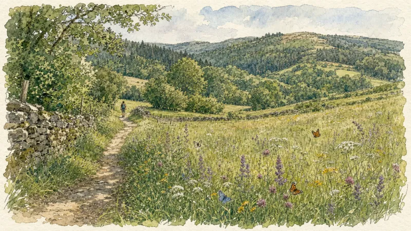
Departure: From the church square in Aix-la-Fayette, go down the main street (D58), then, around the bend, follow the small road on the right (direction La Bessière). 250 m further, take the first grassy path on the right. Continue straight ahead, ignoring two paths on the left. 1. At the hamlet of La Fayolle, turn left and walk alongside the house (directional post) to access the “Aulnaie de la Fayolle” desk. Retrace your steps, then turn left on the road to cross the hamlet. At the last house, go up the road on the right which quickly becomes an ascending path through meadows. At the crossroads, continue straight. 2. Cross the D58 and continue to climb opposite (viewpoint over the town of Aix-la-Fayette). At the crossroads, continue to go straight on. In Limoges, follow the D58b on the left for 10 m, then turn onto the small road on the right to cross the hamlet. Join the D58b again and follow it to the right for 80 m. 3. At the last house, go left on the small road which quickly becomes a path. Always keep the main path until you reach a fork. Then turn right. 250 m further, turn right onto a small path in the woods. Go 500 m and turn left (directional post); turn immediately right and follow the track. Pass over the footbridge, in front of the “Tourbière de Sagnerade” desk and continue on the small path until you reach a more marked path. Then follow it to the left until you reach the road. 4. Turn left on the D58b and go 300 m. Then turn right and immediately take the first path, always on the right. At the crossroads of several paths, turn left. At the crow's feet, just after the stream, turn right. 350 m further, leave the main path to turn right. At the exit of the woods, continue opposite to Martinanches. Cross the hamlet. 5. Follow the D58b on the left for 250 m, then turn onto the first road on the left. Cross Les Fougères by road then continue on the path. At the bottom of the descent, at the level of the stream, turn right onto the grassy path (viewpoint over the Chaîne des Puys). Always keep this path until you reach a small road. Cross it and continue opposite. 6. Follow the D58 on the right for 15 m; go down the small road on the left, then turn immediately right. Follow the main street to reach the starting point.
Circuit n°42 La Panoramique
Secteur Échandelys
Great Livradois-Forez Mountain-Bike Traverse
In the heart of Auvergne, the Great Livradois-Forez Traverse takes you around the Livradois-Forez Regional Natural Park, between two mountain ranges rising from 400 m to 1,600 m.
Château de La Fayette
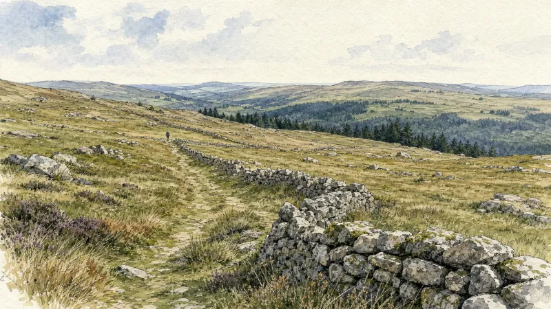
This route is dedicated to the château belonging to the family of the famous General Lafayette. From a typical Livradois village of granite houses, it looks out over the Cézallier and Sancy. The woodland route passes close to a former amethyst quarry.
Explore Nearby
Complement your visit to Aix-la-Fayette by exploring these neighboring villages.
Échandelys
A high-altitude sanctuary where the dense conifers of the Bois-Grand meet the aristocratic legacy of the des Roys family, offering a serene afternoon of architectural and sylvan exploration.
Fournols
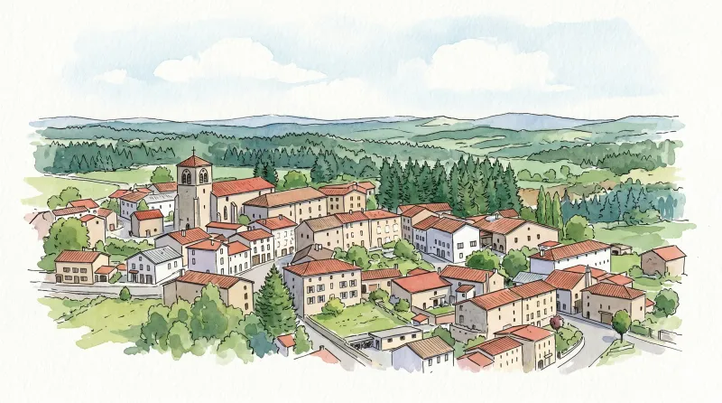
A high-altitude sanctuary defined by dense conifer forests, ancient Romanesque granite, and the storied traditions of blue-veined mountain cheese.
Saint-Genès-la-Tourette
A high-altitude sanctuary of literary history and 18th-century architectural poise, set against a backdrop of dense forests and ancient hunting grounds.
Saint-Germain-l'Herm
A high-altitude ridge settlement characterized by ancient megalithic sites, a fortified Romanesque priory, and a storied history of timber craftsmanship for the Royal Navy.


