
Illustration in progress
At an elevation reaching over 1,100 meters, the air in Échandelys carries a sharp, resinous clarity, filtered through the immense canopy of the Bois-Grand forest. This sylvan expanse covers nearly seventy percent of the territory, where the deep green of the conifers creates a somber, majestic backdrop against the rolling contours of the Livradois. While traversing the dispersed hamlets, one encounters a landscape shaped by ancient granite and the persistent rhythm of the mountain climate. The light here is crystalline, illuminating the high-altitude meadows that break the density of the woods, offering sweeping vistas that stretch toward the jagged horizons of the Massif Central.
The architectural silhouette of the commune is anchored by the Église de l’Assomption, a structure that whispers of medieval spiritual authority and the historical influence of the powerful Abbey of La Chaise-Dieu. Nearby, the Château d’Échandelys stands as a testament to the noble des Roys lineage, whose heraldic stars still occupy a place of honor in local memory. The masonry reflects a sturdy, Auvergnat resilience, with stone walls built to withstand the rigorous winters of the Puy-de-Dôme. These monuments serve as silent witnesses to the era of Claude-Étienne-Annet des Roys, an influential military figure and politician who navigated the tumultuous transition from the Ancien Régime to the Revolutionary states-general.
In the local Auvergnat tongue, the name Eschandalis evokes a floral grace that contrasts with the rugged terrain. The village’s contemporary coat of arms artfully captures this duality, pairing the golden fleur-de-lys with the vertical strength of a native fir tree. This symbolic marriage reflects a community defined by its dispersed habitat, where small clusters of stone dwellings like those at Parel or Le Mas are separated by stretches of quiet moorland and ancient trackways. For the traveler wandering through these heights, the reward is a profound stillness, a place where the modern world feels distant, replaced by the enduring textures of lichen-covered rock and the rhythmic sighing of the mountain wind.
Local profile
At a Glance
- Population
- 248
- Demonym
- —
- Altitude
- 780–1108 m
- Forest
- 69%
residents
local residents
lowest to highest
commune coverage
Did You Know?
“The village coat of arms, adopted as recently as 2015, elegantly marries its name's linguistic roots—the lilies—with its geographical reality—the towering fir trees of the Bois-Grand forest.”
Cultural Heritage
Protected historic monuments in Échandelys
Château
Échandelys
Recent Wildlife & Flora Log
Nature observations recorded within 5km of Échandelys.
Common Bistort
Bluebell
7-spot Ladybird
Anostirus purpureus (Poda, 1761)
Field-rose
Deptford Pink
Froghopper
Common Foxglove
Adonis' Ladybird
Oedemera lurida (Marsham, 1802)
Trails around Échandelys
Discover physical challenges and natural beauty in the immediate vicinity.
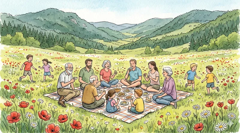
By the stream
Departure: From the church square in Aix-la-Fayette, go down the main street (D58), then, around the bend, follow the small road on the right (direction La Bessière). 250 m further, take the first grassy path on the right. Continue straight ahead, ignoring two paths on the left. 1. At the hamlet of La Fayolle, turn left and walk alongside the house (directional post) to access the “Aulnaie de la Fayolle” desk. Retrace your steps, then turn left on the road to cross the hamlet. At the last house, go up the road on the right which quickly becomes an ascending path through meadows. At the crossroads, continue straight. 2. Cross the D58 and continue to climb opposite (viewpoint over the town of Aix-la-Fayette). At the crossroads, continue to go straight on. In Limoges, follow the D58b on the left for 10 m, then turn onto the small road on the right to cross the hamlet. Join the D58b again and follow it to the right for 80 m. 3. At the last house, go left on the small road which quickly becomes a path. Always keep the main path until you reach a fork. Then turn right. 250 m further, turn right onto a small path in the woods. Go 500 m and turn left (directional post); turn immediately right and follow the track. Pass over the footbridge, in front of the “Tourbière de Sagnerade” desk and continue on the small path until you reach a more marked path. Then follow it to the left until you reach the road. 4. Turn left on the D58b and go 300 m. Then turn right and immediately take the first path, always on the right. At the crossroads of several paths, turn left. At the crow's feet, just after the stream, turn right. 350 m further, leave the main path to turn right. At the exit of the woods, continue opposite to Martinanches. Cross the hamlet. 5. Follow the D58b on the left for 250 m, then turn onto the first road on the left. Cross Les Fougères by road then continue on the path. At the bottom of the descent, at the level of the stream, turn right onto the grassy path (viewpoint over the Chaîne des Puys). Always keep this path until you reach a small road. Cross it and continue opposite. 6. Follow the D58 on the right for 15 m; go down the small road on the left, then turn immediately right. Follow the main street to reach the starting point.

Dore Loop
The Livradois-Forez Regional Natural Park, a land of grassland and woodland, promises a memorable journey between valleys and ridges.
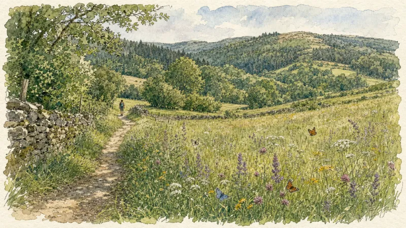
Circuit n°42 La Panoramique
Secteur Échandelys
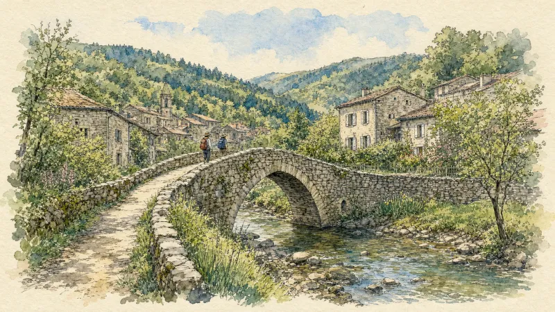
Circuit n°43 Belvédères des Deux Frères
Secteur Échandelys
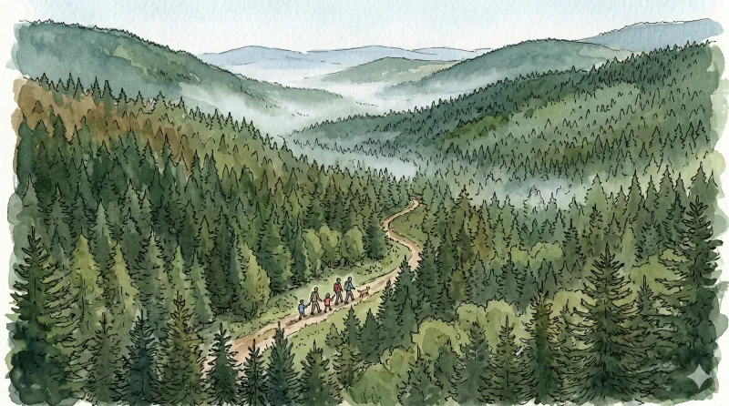
The Panoramas
A lovely short loop with magnificent panoramas of the Sancy volcanoes and the Livradois mountains. Along the way are an ancient Roman road, the Deux Frères viewpoint in the village of Échandelys, a cross and a privately owned château.
Explore Nearby
Complement your visit to Échandelys by exploring these neighboring villages.
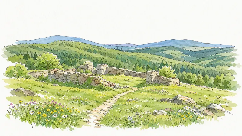
Aix-la-Fayette
An evocative high-altitude excursion to the ancestral cradle of the La Fayette lineage, offering panoramic volcanic views and forest-bound ruins.
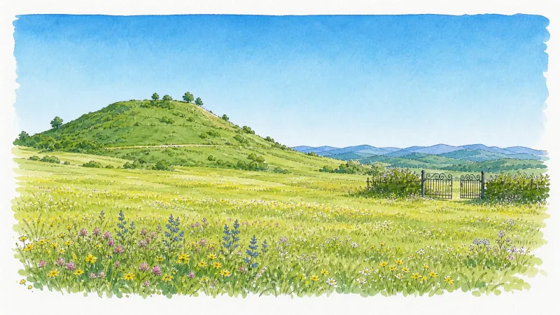
Auzelles
A high-altitude sanctuary of dense woodland and medieval echoes, where the origins of the powerful Montboissier dynasty were forged atop an earthen motte.
Brousse
A high-altitude landscape where the legacy of Cluny's most famous abbot meets the dark geometry of basalt and the austerity of Romanesque stone.
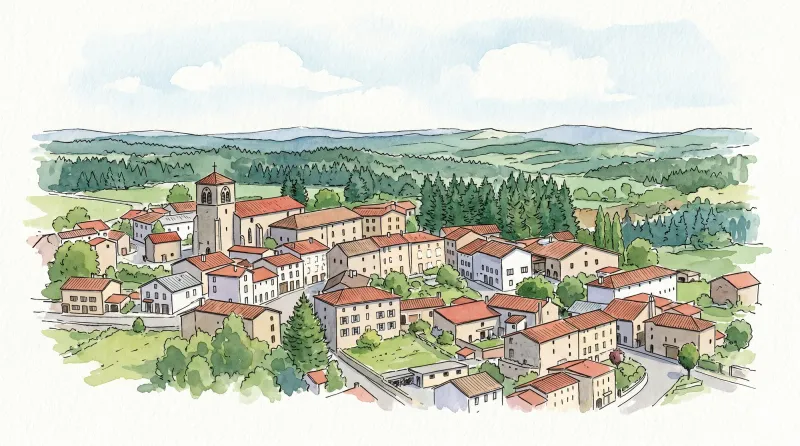
Fournols
A high-altitude sanctuary defined by dense conifer forests, ancient Romanesque granite, and the storied traditions of blue-veined mountain cheese.


