
Illustration in progress
The ascent toward Ceilloux reveals a landscape defined by dramatic verticality, shifting from the lower valleys at 474 meters to the windswept heights of nearly 800 meters. This is a territory of “habitat très dispersé,” where the human presence is not concentrated in a singular core but rather scattered across a constellation of ancient hamlets such as Dourbias and Chantaigut. Walking through these outliers, one observes the stark, functional beauty of Auvergnat masonry, built to withstand a climate characterized by the “marges montagnardes”—crisp, fresh summers and winters that settle heavily upon the rolling topography. The land is a rhythmic alternation of dense, shadowy woodland and vast, open meadows that comprise nearly sixty percent of the commune, offering an unfiltered experience of the Livradois-Forez interior.
At the heart of the primary settlement stands the Église Notre-Dame-de-l’Assomption, a structure whose foundations speak to the transition between the 15th and 16th centuries. The stone exterior, weathered by centuries of mountain rain, belies the intricate treasures held within its nave. Of particular note is the 16th-century pulpit, a masterpiece of late-Renaissance woodcarving that remains a silent witness to generations of Ceilloutois devotion. The interior air is thick with the scent of aged timber and cold granite, providing a contemplative atmosphere for those examining the 18th-century buffet or the medieval Virgin in Majesty. This polychrome and gilded wooden statue serves as a profound link to the Middle Ages, retaining a regal, stoic expression that mirrors the resilience of the surrounding landscape.
The historical trajectory of Ceilloux is etched into its very soil, marking a transition from a bustling 19th-century agricultural community of over a thousand souls to the serene, sparsely populated enclave of today. This thinning of the population has allowed the natural world to reclaim its dominance; the forests of the Livradois now drape over forty percent of the commune, creating corridors of pine and deciduous growth that hem in the high pastures. Observation of the terrain reveals the “Corine Land Cover” reality—a mosaic of grasslands and heterogeneous agricultural zones that have remained largely unchanged in their distribution since the 1950s. For the traveler arriving from more crowded corridors, an afternoon here is an exercise in auditory clarity, where the only sounds are the rustle of the forest canopy and the distant tolling of the village bell across the valley.
Local profile
At a Glance
- Population
- 174
- Demonym
- Ceilloutois
- Altitude
- 474–796 m
- Forest
- 40.6%
residents
local residents
lowest to highest
commune coverage
Did You Know?
“The village church preserves a rare "Virgin in Majesty," a medieval statue of polychrome and gilded wood that has survived centuries of regional upheaval.”
Cultural Heritage
Protected historic monuments in Ceilloux
Eglise Notre-Dame de l'Assomption
Ceilloux
Recent Wildlife & Flora Log
Nature observations recorded within 5km of Ceilloux.
Tremella mesenterica (Schaeff.) Pers.
Jelly Ear
Wood Anemone
Creeping Charlie
Fig buttercup
Small Elephant Hawk-Moth
Black-Veined White
Gatekeeper
Linaria repens (L.) Mill.
Fireweed
Trails around Ceilloux
Discover physical challenges and natural beauty in the immediate vicinity.

Circuit n°46 Le Val de Mende
Secteur Cunlhat
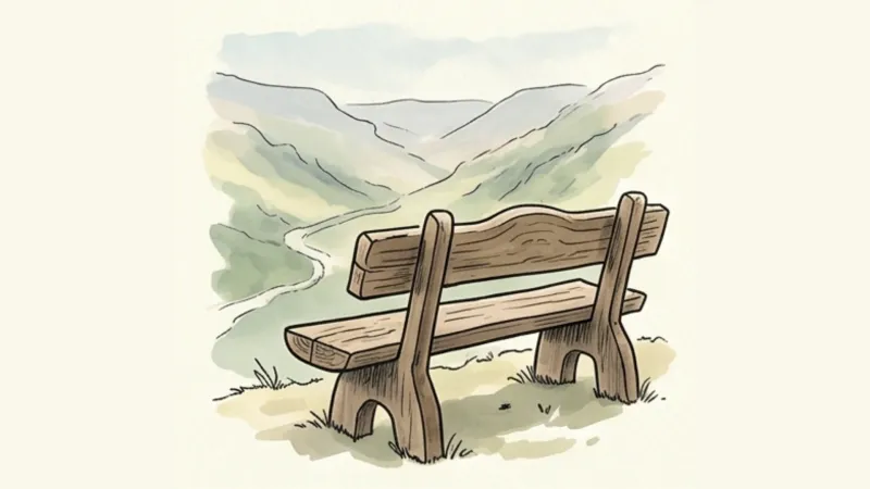
Pointe du Jour
Start at the leisure centre. Climb towards Cunlhat and take the first road left. At the D225 turn left. After 100 m, leave the road for a track descending right and climbing to the Le Coin road. (1) Follow the uphill track opposite. By the house, take the road right. (2) At the fork bear right again. Enter woodland after La Guillaumie. (3) At Le Verdier pass the manor house. Continue for 500 m and turn left onto a small paved road. (4) Cross the D997, head towards Ischamp and follow the first path right for about 400 m. Take a woodland path right. (5) At the entrance to Le Fayet turn left. Cross the village as the road becomes a track. Continue straight on the main track to the D997. Cross and head towards Pradelles. (6) In central Pradelles take the track right. It crosses a farm and enters woodland. At the four-track junction take the path left. At the road turn right again (view of the Forez mountains). (7) At Boscène descend on the lower track left. Cross the Mende stream and climb to the D65. Cross to the uphill track opposite, slightly right. (8) A few metres before the well and stone trough, descend on a path right, cross the D65 again and continue opposite. At the fork take the ascending sunken lane left. At the open area in Le Coin, descend on the road left, passing a house dated 1839, then return via point 1 and the outward route.
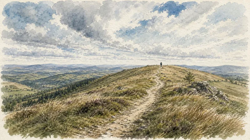
The Bost Trail
The Ceilloux priory, the fortified Bost farm, a rare dry-stone hut at Dourbias and the Château des Martinanches: the route reveals remarkable architectural heritage in a bocage landscape.

The Tour of the Cunlhat Country in Livradois
This route is designed for experienced hikers given the distance to be covered requiring a good day of walking or half a day for the more sporty who would opt for the “trail” mode.
Explore Nearby
Complement your visit to Ceilloux by exploring these neighboring villages.
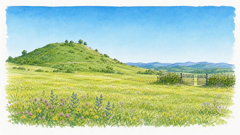
Auzelles
A high-altitude sanctuary of dense woodland and medieval echoes, where the origins of the powerful Montboissier dynasty were forged atop an earthen motte.
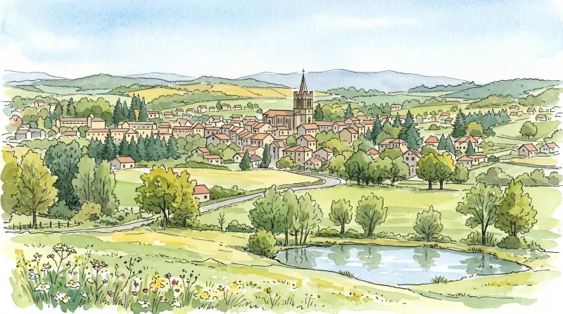
Cunlhat
A high-altitude sanctuary of Benedictine heritage and cinematic history, where medieval stone meets the avant-garde.
Domaize
A quiet pastoral landscape defined by its Renaissance stone, cinematic echoes, and the rare elegance of Akhal-Teke horses.
Saint-Dier-d'Auvergne
A journey through 11th-century feudal architecture and Revolutionary defiance, set against the steady flow of the Miodet river in the Livradois mountains.


