
Elevation Profile
636–900 m
Departure: Cunlhat leisure center From the Cunlhat leisure center, go up towards Cunlhat. Keep the main road until the D225. Take it on the left for 100m before taking a path that goes down to the right. At the crow's feet, turn left then, after 50m, take the road on the right. Continue on the main road to the hamlet “Le Coin”. In the hamlet, take the road on the left. It becomes a path at the exit of the village. Continue until the asphalt road. Cross it to take a path opposite that climbs through the undergrowth.
1 - At the T-intersection, take the path on the left until you find the tarmac road. Continue opposite on the path going down into the woods. Cross the stone bridge and go up to the village of Boscène. Then take the asphalt road on the right for 300m until the next crossroads. Then turn right on the path and continue straight on to the village of “Bost”.
2 - At the entrance to the village, go around the stone building by turning immediately left and continue on the path which goes back down into the woods to the hamlet of “Tissonières”. In the hamlet, continue opposite to go down the tarmac road. 50m before joining the D304, take a path going up on the left to reach the town of Ceilloux.
3 - Walk alongside the church, going up the road on the left and turning right to pass the entrance to the Ceilloux church. At the crossroads with the cross, head towards the village of “La Cissartie”. In the village, take the road which goes up on the left towards the houses and continue opposite. The road becomes a path. At the next intersection, take the path on the left and continue to the village of Echinlet.
4 - At the tarmac road, turn immediately right along the small stone wall, then, 100m further on, at the crossroads with the cross, take the road on the left. At the bus shelter, cross the main road. At the next intersection, take the road on the left for 50m before turning right onto a path which emerges in the bend of the D997. Follow the main road for 100m and turn onto the 1st path rising slightly to the left. Continue to the village of Pradelles. Take the asphalt road on the right until you find the D997. Cross it to take the path opposite. Continue on the main path to the village of “Fayet”. At the crow's feet, take the road on the right and continue opposite to the next intersection. The road becomes a path.
5 - Then turn onto the 1st path which goes left until you reach the D112a. Take it on the left until you find the D997. Cross it and continue opposite. 100m after the isolated house, take a path on the right. Keep the main path to the village of “Verdier”. Continue on the path opposite to the village of “La Guillaumie”. At the tarmac road, turn left and then take the first road on the right. Continue opposite until the D225. Take it on the right, then turn left towards Courtesseire. Go along the hamlet and take the path as an extension of the road.
6 - Go up to the edge of conifers and go down the grassy path on the left in a field to the village of “La Vironne”. Cross the village on the right. At the bread oven, turn right. Then take the road on the right. Under the village of “Cammas”, turn left until you reach the tarmac road. Continue opposite to the village of “Rouchoux”. Cross the village and follow the road on the left. At the crow's feet, turn right then left to pass above the houses of "Chabrol". At the exit of the hamlet, the road becomes a path. Take it opposite to “Mas-du-Bost”. Then continue straight on until “Faidides”. Cross the road to take the path opposite.
7 - In sight of the village of “Bruneilles”, turn right, then continue to climb on the main path. At the intersection of 4 paths, take the path on the left. At the next crossroads, turn left and cross a small stream. 100m further, take the path on the left which goes back down to the road. Cross it twice to cut the bends then take it to the left. 200m before an intersection, turn left to take a grassy path. At the crossroads of a road, continue opposite to the village of “Olagnier”. Cross the hamlet and go up a tarmac path which becomes a path. At the intersection, turn left.
8 - After 400 m, go left into a wood to reach Terrol. Pass in front of the castle and go down to the D254. Take it opposite and take the first path on the left opposite the entrance to the golf course. Arriving at the St Anne cross, take the D65 on the right for 50m before continuing along the “Chemin des Iris” on the right. Turn onto the first street on the left which goes down slightly. At the small square continue on the path which goes to the right and which turns left after 50m until you find the D65. Cross there to take the direction of “Allée des Aubépines”. At the intersection of 4 paths, continue going down opposite to find the Cunlhat leisure center and the start of the hike.
At a Glance
- Duration
- 9.0hrs
- Distance
- 29.8km
- Elevation +
- +747 m
- Elevation -
- -747 m
At a Glance
Live Weather
Departure / Arrival · Cunlhat
Live conditions
—
Feels like
—
Wind / gusts
—
Visibility
—
Updated: —
Important Advice
This route is designed for experienced hikers
taking into account the distance to be covered requiring a good
day of walking or half a day for the more sporty
who would opt for the “trail” mode
Explore Nearby

Dore Loop
The Livradois-Forez Regional Natural Park, a land of grassland and woodland, promises a memorable journey between valleys and ridges.
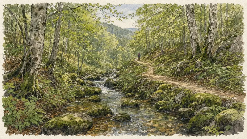
Circuit n°44 Les Cimes du Livradois
Secteur St-Amant-Roche-Savine
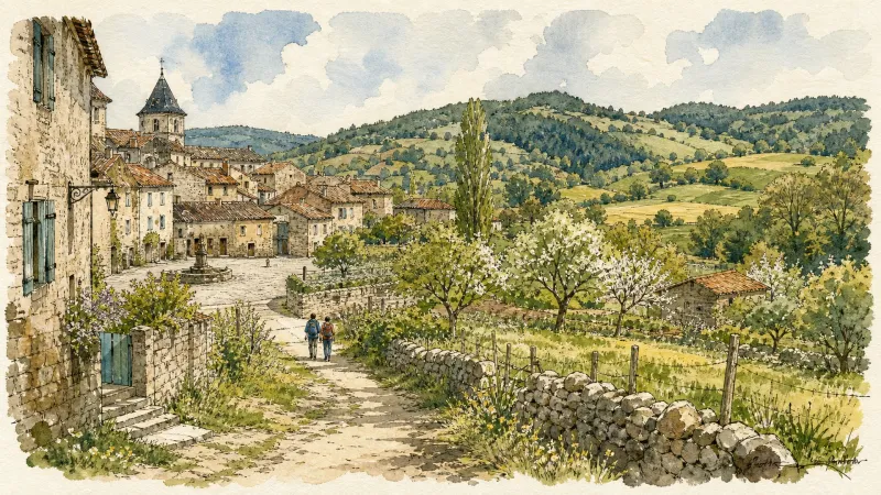
Circuit n°45 Le Tour des Sucs
Secteur St-Amant-Roche-Savine