
Elevation Profile
657–787 m
Start at the leisure centre. Climb towards Cunlhat and take the first road left. At the D225 turn left. After 100 m, leave the road for a track descending right and climbing to the Le Coin road.
(1) Follow the uphill track opposite. By the house, take the road right.
(2) At the fork bear right again. Enter woodland after La Guillaumie.
(3) At Le Verdier pass the manor house. Continue for 500 m and turn left onto a small paved road.
(4) Cross the D997, head towards Ischamp and follow the first path right for about 400 m. Take a woodland path right.
(5) At the entrance to Le Fayet turn left. Cross the village as the road becomes a track. Continue straight on the main track to the D997. Cross and head towards Pradelles.
(6) In central Pradelles take the track right. It crosses a farm and enters woodland. At the four-track junction take the path left. At the road turn right again (view of the Forez mountains).
(7) At Boscène descend on the lower track left. Cross the Mende stream and climb to the D65. Cross to the uphill track opposite, slightly right.
(8) A few metres before the well and stone trough, descend on a path right, cross the D65 again and continue opposite. At the fork take the ascending sunken lane left. At the open area in Le Coin, descend on the road left, passing a house dated 1839, then return via point 1 and the outward route.
At a Glance
- Duration
- 2.8hrs
- Distance
- 10.8km
- Elevation +
- +247 m
- Elevation -
- -247 m
At a Glance
Live Weather
Departure / Arrival · Base de loisirs, Cunlhat
Live conditions
—
Feels like
—
Wind / gusts
—
Visibility
—
Updated: —
Field notes and images
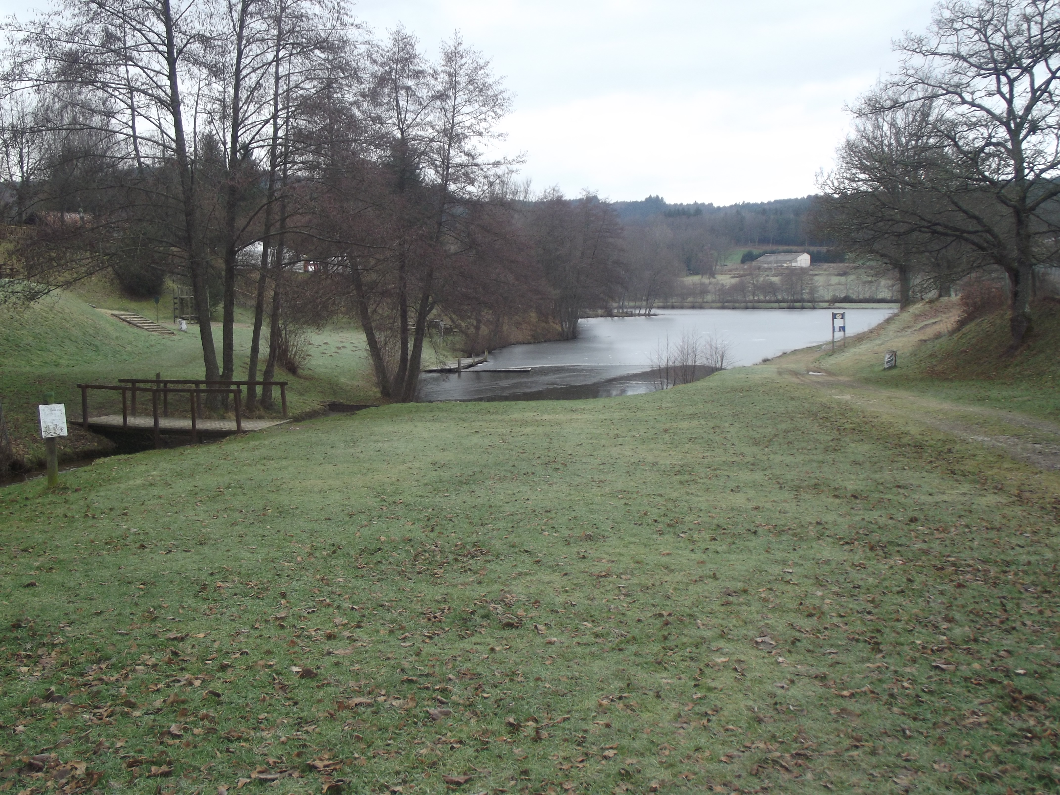
La pointe du jour
Captured by MDT
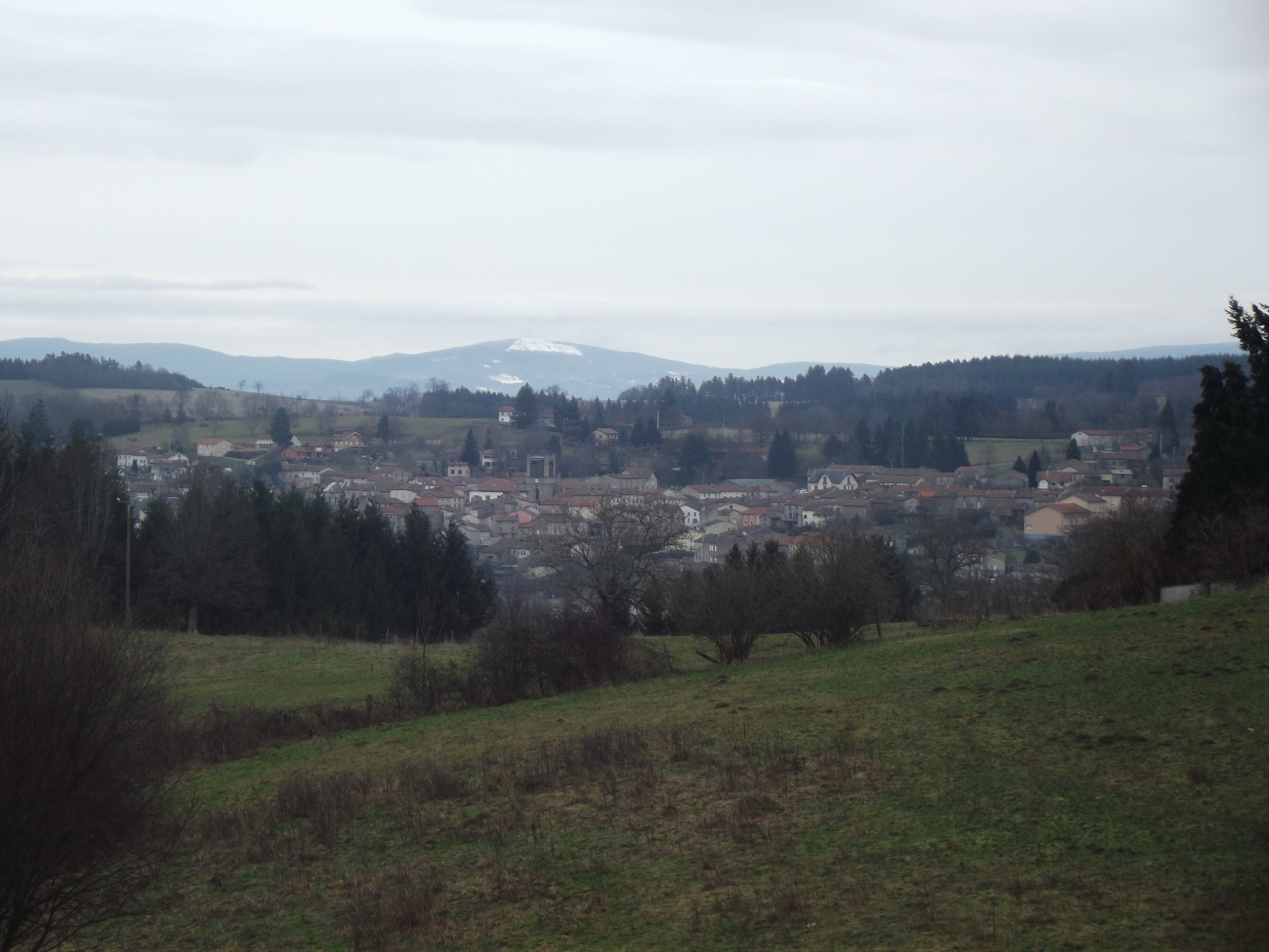
La pointe du jour
Captured by MDT
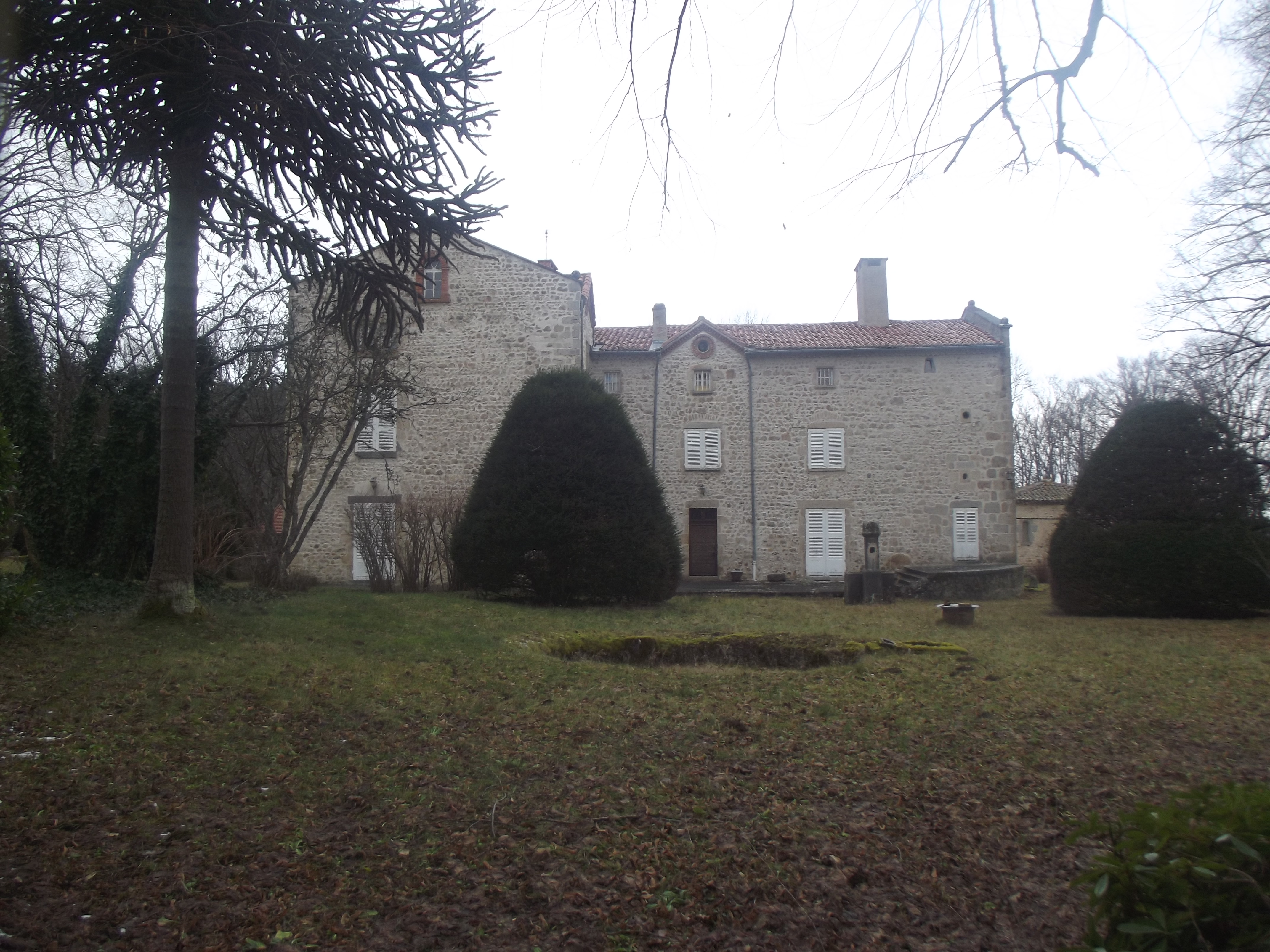
Maison - La pointe du jour
Captured by MDT
Explore Nearby

Dore Loop
The Livradois-Forez Regional Natural Park, a land of grassland and woodland, promises a memorable journey between valleys and ridges.
Circuit n°44 Les Cimes du Livradois
Secteur St-Amant-Roche-Savine
Circuit n°45 Le Tour des Sucs
Secteur St-Amant-Roche-Savine