
Elevation Profile
1233–1400 m
Départ : Stationner sur le parking en contrebas du col des Supeyres. Au bout du parking en montant vers le col, prendre à droite après une petite mare, puis tout de suite à gauche, un chemin qui longe la route et qui permet d’atteindre la première table de lecture (1ère pause). Monter en face, le chemin D tourne sur la droite. Aux deux pattes d’oie suivantes, emprunter le chemin de droite ; il s’incline doucement vers la droite.
1. À la lisière de la hêtraie, prendre le chemin creux qui descend à gauche. À l’intersection, descendre la piste à gauche ; elle passe à côté de jasseries avant de déboucher sur les jasseries des Supeyres (2ème pause). Continuer sur ce chemin.
2. À la 3ème pause, le chemin pavé monte pleine pente vers une autre jasserie. Suivre la piste principale puis passer devant une jasserie rénovée. Passer à droite d’un bassin et emprunter un sentier herbeux se dirigant vers une nouvelle jasserie. Tourner à droite juste 20 m avant celle-ci. Reprendre un chemin plus important à gauche et le laisser à 100 m pour virer sur un chemin herbeux à droite, à travers la lande. Il se dirige vers la pointe d’un bois d’épicéas.
3. À la borne seigneuriale du Pialoux (table de lecture), suivre la lisière du bois d’épicéas à main droite puis couper une bonne piste. 200 m après la 4ème pause, descendre le chemin herbeux à gauche.
4. Au confluent des eaux, emprunter une sente à gauche, avant de retrouver un chemin plus marqué que vous prendrez à droite. Il décrit un virage et longe sur la gauche le bois de Balayoux (suivre la déviation en période estivale afin d’éviter les troupeaux), puis s’en éloigne progressivement. On trouve la 5ème pause.
5. À l’intersection, prendre un bon chemin sur la droite. Dans le second virage, suivre tout droit le chemin herbeux. La 6ème pause est juste après la ruine. Descendre à droite à hauteur de la jasserie, toujours sur un chemin herbeux. Franchir un ruisseau et continuer sur le chemin creux : on passe derrière une autre jasserie.
6. Remonter à gauche jusqu’aux jasseries du Grand Genevrier. Traverser le hameau et atteindre la 7ème pause.
7. Au parking du Grand Genevrier, monter la D106 à gauche. 10 m après, emprunter une petite sente longeant la route sur 450 m, puis tourner sur le chemin de gauche et faire 120 m.
8. Monter à droite sur le premier chemin herbeux qui entre dans un sous-bois, puis traverser tout droit une lande.
9. Suivre la D106 à gauche. Garder cette route jusqu’au col.
At a Glance
- Duration
- 3.0hrs
- Distance
- 9.5km
- Elevation +
- +263 m
- Elevation -
- -258 m
At a Glance
Live Weather
Departure / Arrival · Col des Supeyres
Live conditions
—
Feels like
—
Wind / gusts
—
Visibility
—
Updated: —
Important Advice
Remember to close the gates, and avoid this route in bad weather.
Field notes and images
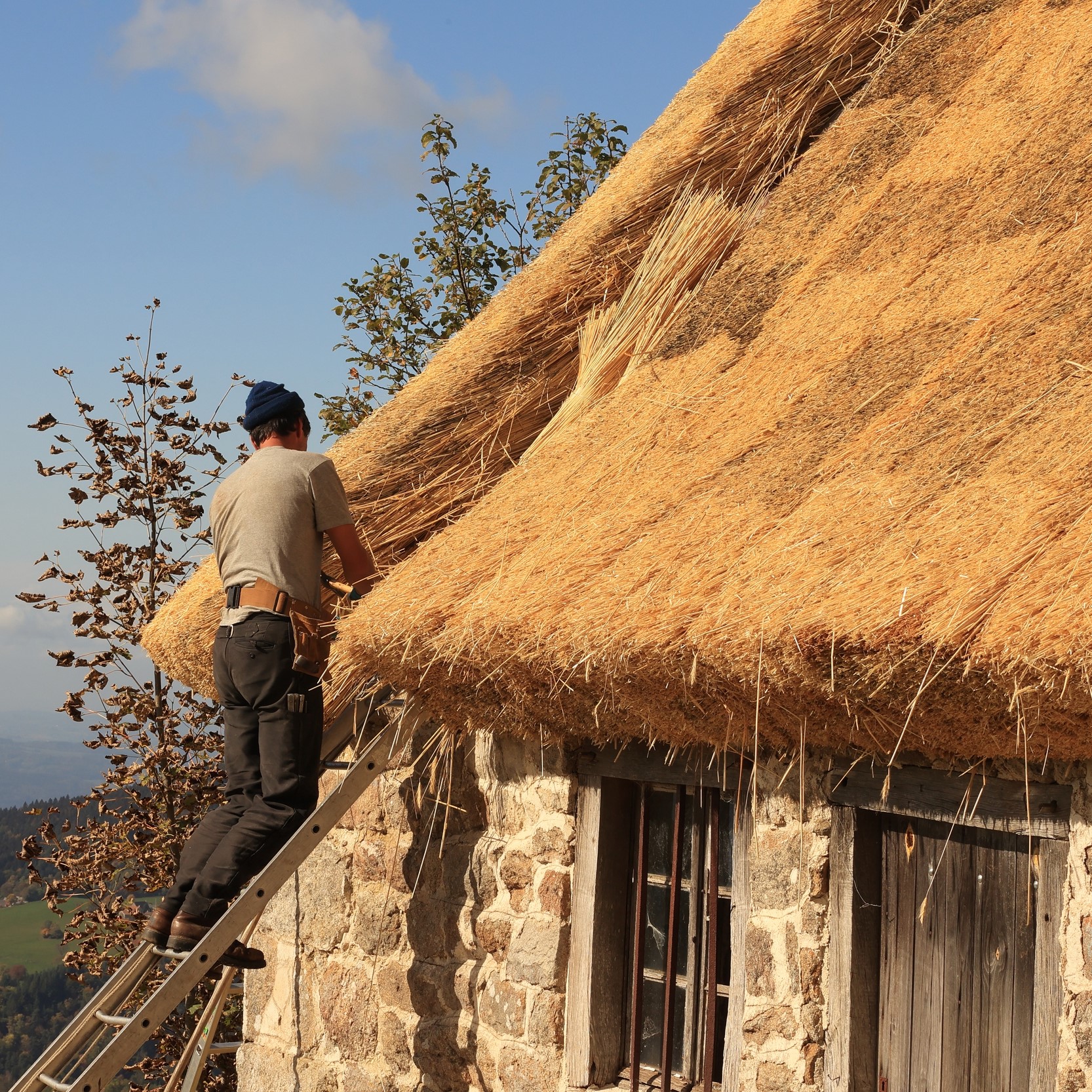
Des chaumiers aux jasseries des Supeyres
Captured by Jean-Claude Corbel
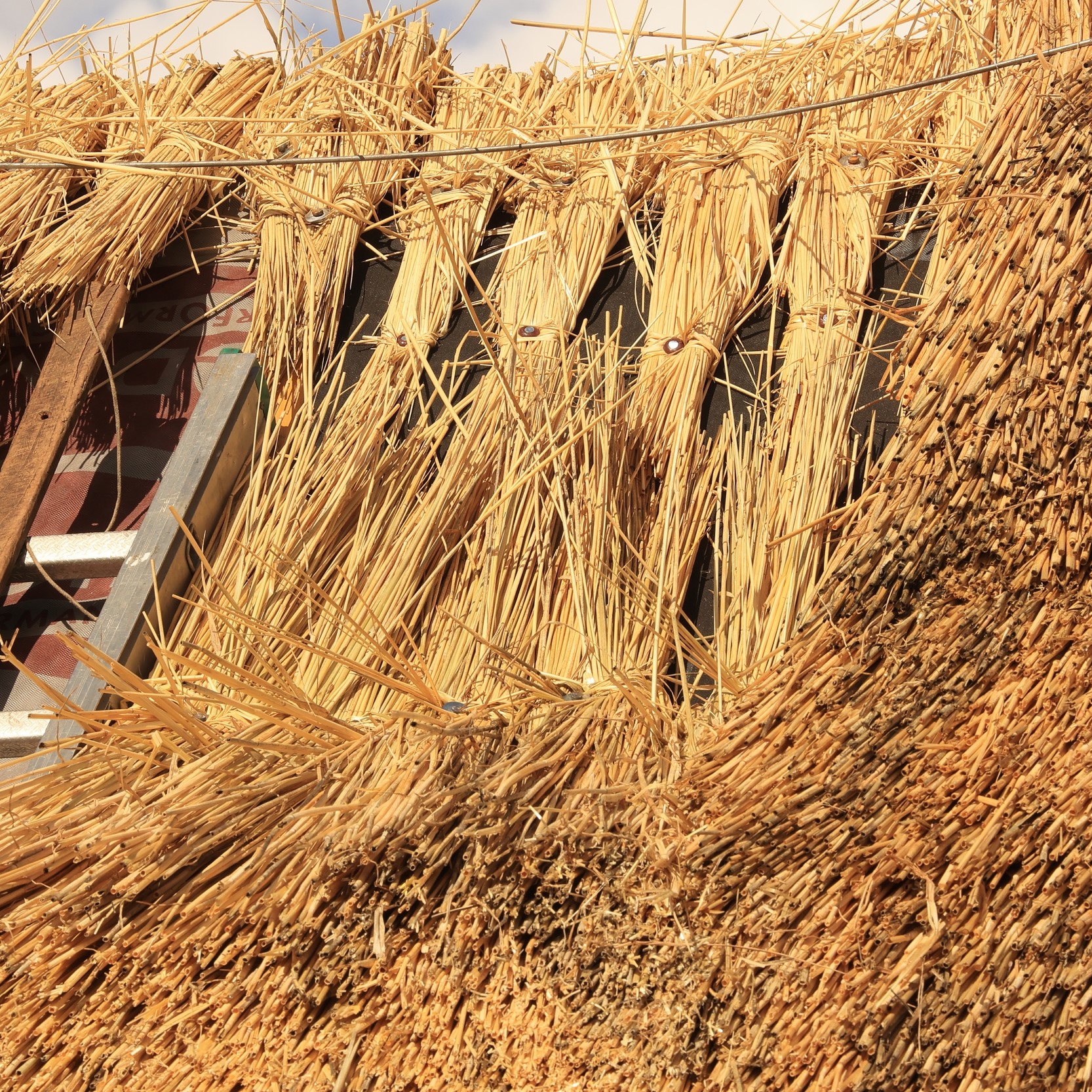
La chaume de seigle
Captured by Jean-Claude Corbel
Explore Nearby
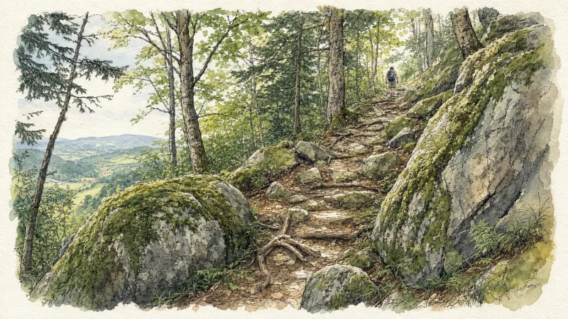
2 days of bivouac on Hautes-Chaumes
Between the jasseries, the peat bogs and the panoramas of the Alps on a clear day, here is a bivouac on the volcanic ridges of Livradois-Forez immersed in nature and accessible by train.
Around the Pradeaux dam
Departure: From the Col des Pradeaux, take the path up to the dam. At the next crossroads, take the path uphill on the right. Before the reservoir, take the path on the right and keep the main path until you reach the woods. Cross the woods opposite and continue opposite until the crossroads of 4 paths. 1. Take the path opposite and continue to the dam. Follow the dam on the right. Towards the “tail” of the dam, take a path going down to the left. Continue to follow the dam on the right and cross the 2 wooden footbridges. 2. At the exit of the second footbridge, turn left on the path and continue to follow the dam for 600m. Cross a small stream on the 3rd footbridge, continue opposite for 300m before going up a path on the right to find the path. 3.Take it on the left and continue to pass next to the dam. At the next crossroads, turn left and keep the main path going down to the Col des Pradeaux.
Beauvoir
Château de La Roue All that remains of this château is part of the enclosure wall and the square tower visible from the village. This keep, known as the “Tour de Pierrefort” in tribute to the last lord of the estate, “Hérail de Pierrefort La Roue”, dates from the 14th century and was restored in the 19th century. The original building probably dates back to the 13th century. It was then a powerful feudal château, forming part of the ring of fortifications around the county of Forez. From an early date it belonged to the La Roue family, known since the 12th century, who dominated the Ance valley from their three châteaux: La Roue, Montpeloux and La Chaulme.