
Elevation Profile
644–850 m
Start: Follow the D97 left for 100 m to Croix de Gripel. Cross the road and take the uphill track opposite. Continue on the driveable track to the paved road, turn left and follow the main road through Genasse. At the woodland edge, take the good hairpin track left. Keep to the main track to Poumarat, then take the paved road descending left.
1. At the junction take the woodland track slightly left. At the multi-track junction turn right and cross Saint-James. At the D97 turn left for 200 m, then descend on a track towards Tour de Gripel.
2. In Gripel take the paved road left. Rejoin the D97 and follow it right to Croix de Gripel. At the cross, descend on the D97 towards Marat and return to the car park.
At a Glance
- Duration
- 1.5hrs
- Distance
- 4.8km
- Elevation +
- +218 m
- Elevation -
- -216 m
At a Glance
Live Weather
Departure / Arrival · Marat (Croix de Gripel)
Live conditions
—
Feels like
—
Wind / gusts
—
Visibility
—
Updated: —
Field notes and images
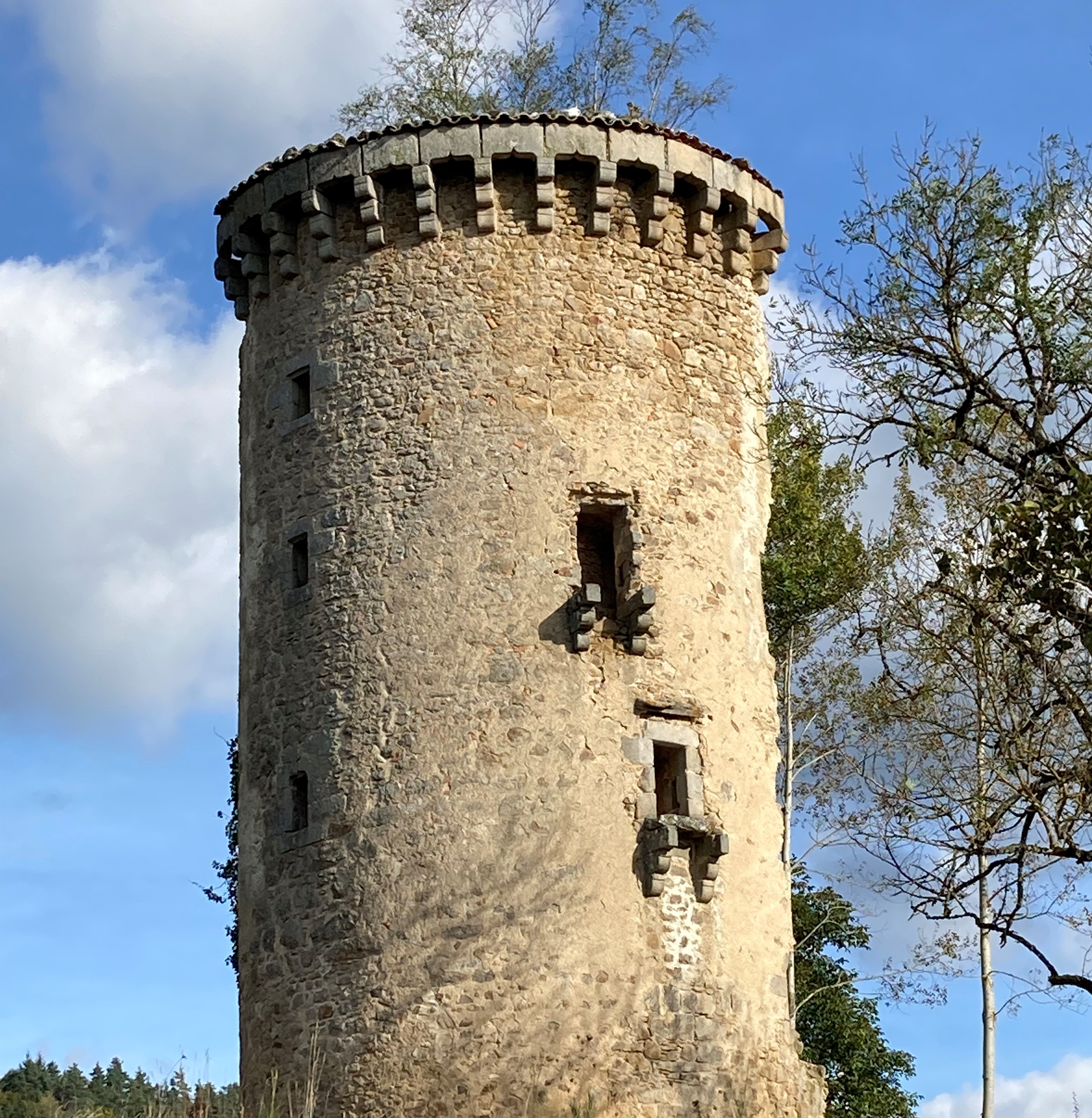
Tour de Gripel
Captured by Florence Roche
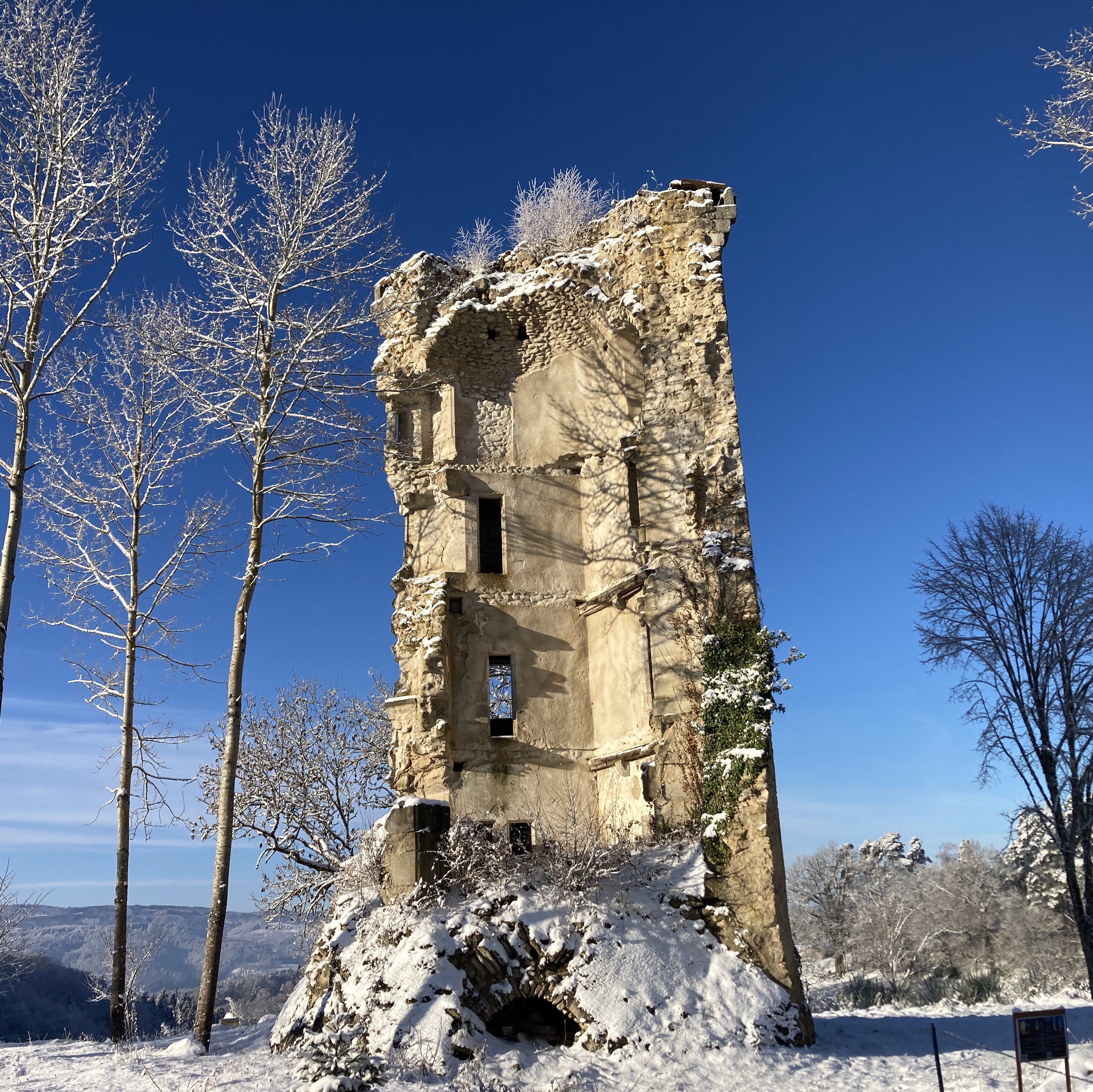
Tour de Gripel
Captured by Florence Roche
Explore Nearby

Dore Loop
The Livradois-Forez Regional Natural Park, a land of grassland and woodland, promises a memorable journey between valleys and ridges.

Forez Circuit — Les Hautes-Chaumes (Loop No. 5)
This route reveals nature that is still wild in places: Livradois-Forez and its vast, rolling upland plateaus, including Les Hautes-Chaumes.
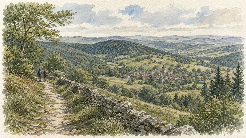
Des Hautes-Chaumes au Livradois (circuit route n°8)
Discover this trail through the heart of Livradois-Forez.