
Elevation Profile
526–1349 m
Starting from Ambert station (the mountain biking and trail-running base), this route leads through a forest setting to the Col des Allebasses. Along the streams of Gourre and Lagat, you will discover old mills that bear witness to the paper-making activity of the 15th century.
At a Glance
- Duration
- 4.5hrs
- Distance
- 26.8km
- Elevation +
- +928 m
- Elevation -
- -928 m
At a Glance
Live Weather
Departure / Arrival · Ambert
Live conditions
—
Feels like
—
Wind / gusts
—
Visibility
—
Updated: —
Explore Nearby
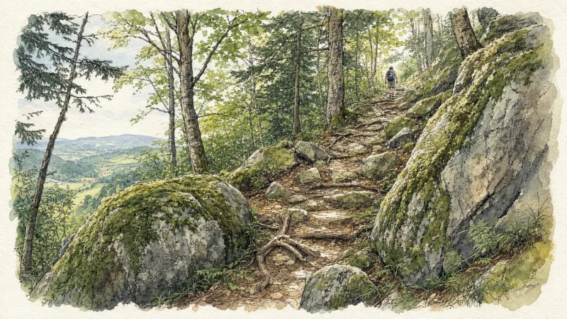
2 days of bivouac on Hautes-Chaumes
Between the jasseries, the peat bogs and the panoramas of the Alps on a clear day, here is a bivouac on the volcanic ridges of Livradois-Forez immersed in nature and accessible by train.
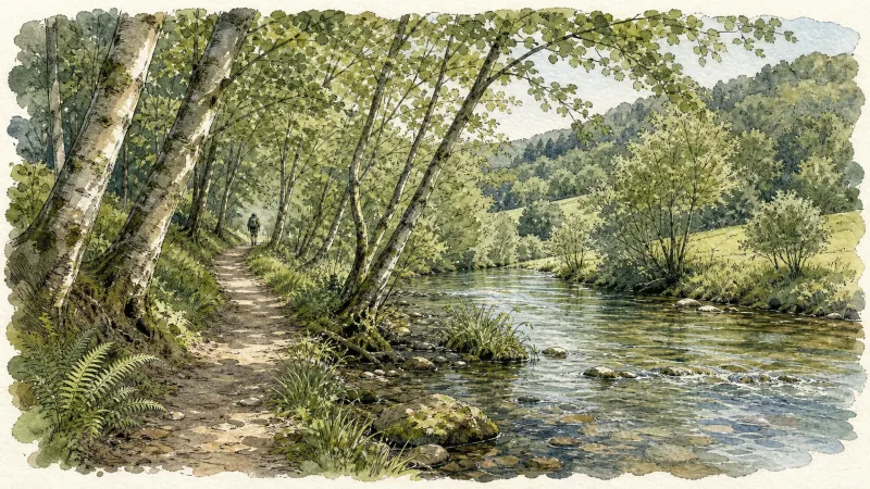
Ambert
This short circuit allows you to discover the two facets of Ambert: the natural side with the Bois de Boulogne, the Red Hen trail, the path along the Dore and the heritage side with the half-timbered houses, the round town hall, the cheese house and the St-Jean church.
Around the Pradeaux dam
Departure: From the Col des Pradeaux, take the path up to the dam. At the next crossroads, take the path uphill on the right. Before the reservoir, take the path on the right and keep the main path until you reach the woods. Cross the woods opposite and continue opposite until the crossroads of 4 paths. 1. Take the path opposite and continue to the dam. Follow the dam on the right. Towards the “tail” of the dam, take a path going down to the left. Continue to follow the dam on the right and cross the 2 wooden footbridges. 2. At the exit of the second footbridge, turn left on the path and continue to follow the dam for 600m. Cross a small stream on the 3rd footbridge, continue opposite for 300m before going up a path on the right to find the path. 3.Take it on the left and continue to pass next to the dam. At the next crossroads, turn left and keep the main path going down to the Col des Pradeaux.