
Elevation Profile
316–510 m
Start: From the start information panel in the car park beside the sports ground on Chemin de la Côte, cross the road and take the track straight ahead. Fifty metres after the farm building, branch right and continue on the track (views of Cournon, the Sancy and Puy de Mur). At the fork, descend to the left. At the T-junction, turn left, then after 10m descend to the right. Follow the Allier on the left, then climb to the left to reach the surfaced track. Follow it to the right to a junction beneath the high-voltage line.
1 - Turn left (water catchment area on the right), continue and, on the bend (picnic area), go straight ahead. At the next junction, turn left into the woods, cross a stream and pass beneath two power lines. At the junction facing the village of Mezel, turn right, pass alongside a ruined building and continue to the road. Cross it and head towards Saint-Bonnet. Leave the road and, after the warehouses, descend to the right on a track. Continue to the road (dog training centre).
2 - Follow it to the left for 40 m, then take the track on the right and stay on this main track, keeping left at the next two junctions and heading towards Saint-Bonnet. Reach the road opposite the community hall, turn right, then left onto Rue de la Fontaine Madeleine, then right as far as Rue des Granges. Follow it to the right to the stop sign at the next junction, then take Rue du Château on the left to the church porch.
3 - Take the street that passes around the church to the left and above it. Pass a water tower and climb on a surfaced track to the château entrance. Take the track on the right opposite the entrance. Pass alongside the farm and, at the high point (view of the Chaîne des Dômes), continue to the fork and turn right. At the junction, turn right beneath the power line, then after 80m climb straight ahead to the left (view of the Forez) to a fork. Turn right across the plateau (ignore the descent that leads directly to Mezel) (view of the Livradois-Forez). Pass around a cirque and reach the road.
4 - Turn right, then after 40m climb the leftmost track (another yellow PR route is on the right). Descend to the left on the track, pass above the château and descend into Mezel (dovecote). Continue to Place de la Fontaine, turn right onto Rue de la Font-Grande, left onto Rue Marmondieu, then left before the château. One hundred metres further on, pass beneath the porch on the right, pass the church entrance, take the passage on the right and continue along the left side of the château (12th- and 16th-century château). Descend to the left along Rue Guyot Dessaigne, then left again at Place de l’Église; descend the small staircase just after the market hall, Passage des Buissonnières. Descend Rue de la Balalong to a mission cross (viewpoint). Turn left onto Rue Côte de Peine, then Rue Célestin Tourres. Turn right onto Chemin de la Côte to return to the starting point.
At a Glance
- Duration
- 3.5hrs
- Distance
- 11.8km
- Elevation +
- +213 m
- Elevation -
- -201 m
At a Glance
Live Weather
Departure / Arrival · Mezel
Live conditions
—
Feels like
—
Wind / gusts
—
Visibility
—
Updated: —
Field notes and images
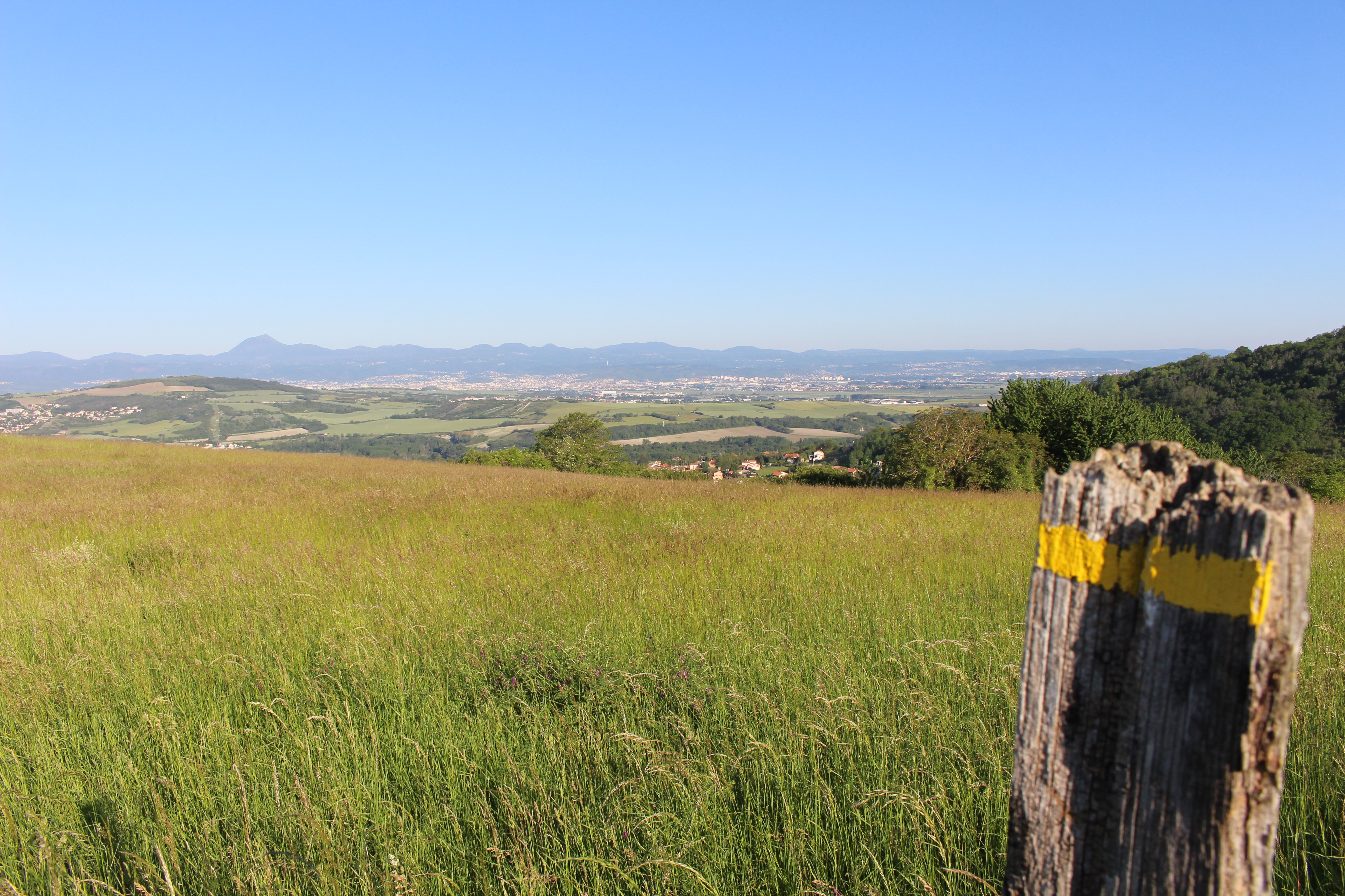
Vue depuis le puy de la poule
Captured by MDT LF
Explore Nearby
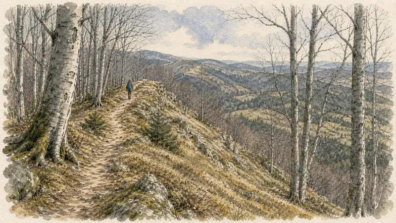
Chauriat, a Petite Cité de Caractère
Chauriat, a village more than a thousand years old, welcomes you. Built around the churches of Sainte-Marie and Saint-Julien, the town was strongly shaped by the Middle Ages and has continued to grow around many hidden treasures.

From the Allier to Puy de Mur
This 5.7 km loop starts and finishes at Dallet, with 187 m of ascent and an estimated duration of 1 hr 45 min.
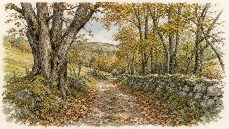
Entre Dore et Allier (circuit route n°1)
Discover this trail through the heart of Livradois-Forez.