
Elevation Profile
313–496 m
Départ : Du panneau de départ rejoindre la berge de l’Allier. Remonter celle-ci et Place des Tilleuls prendre le chemin à droite (sentier des écoliers) puis le premier sentier à droite qui se rapproche de la rivière. Revenir par la gauche pour retrouver le chemin que l’on a abandonné précédemment .Continuer tout droit, à la fourche aller à gauche, franchir deux chicanes et après la station d’épuration bifurquer à droite. Passer devant le stade puis partir à gauche. Traverser le Quai de la Moie et monter vers l’ancienne Tour du Rempart sur la rue Abbé Banier.
1. Remonter celle-ci pour prendre à gauche la rue de la petite Gobe. Arrivé à la route prendre à gauche sur 20 m.
2. Emprunter le chemin des Clos puis prendre à gauche le chemin de la Grande Gobe qui devient un chemin creux. Monter continûment tout droit sur 600m jusqu’à un chemin de terre à gauche en pente très raide. L’emprunter puis suivre la courbe de niveau (point de vue sur la chaîne des Dômes, le Sancy, le Cézalier, la Limagne) pour arriver, après être passé devant un château d’eau, à une voie goudronnée.
3. descendre celle-ci sur 200 m et prendre le premier chemin à gauche, puis rester toujours à gauche. Arrivé à l’ancien réservoir descendre le chemin de la Côte des Bois. Passer sous un pont, prendre la rue de la Côte Malais puis à gauche la rue des Remparts, contourner une tour pour prendre un escalier.
4. Rentrer dans le village en empruntant successivement et en descendant : la rue des Tourelles, la Place de l’Horloge, la place de la Halle, les rues A. Favre puis Antoine Besserve qui ramène au point de départ.
At a Glance
- Duration
- 1.8hrs
- Distance
- 5.7km
- Elevation +
- +187 m
- Elevation -
- -183 m
At a Glance
Live Weather
Departure / Arrival · Dallet
Live conditions
—
Feels like
—
Wind / gusts
—
Visibility
—
Updated: —
Field notes and images

Vue sur Mezel
Captured by Maison du Tourisme
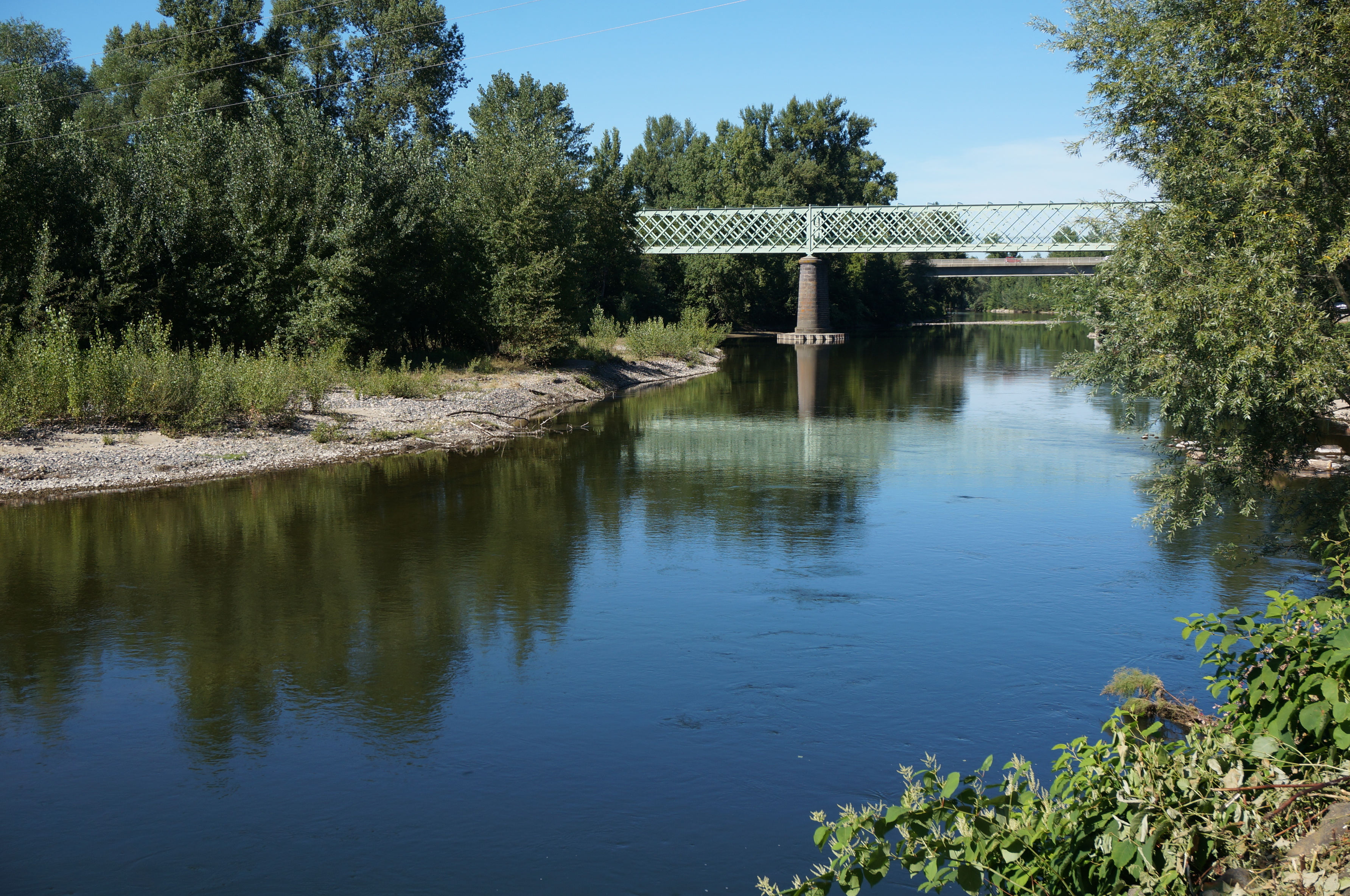
Pont à Dallet
Captured by Billom Communauté
Explore Nearby
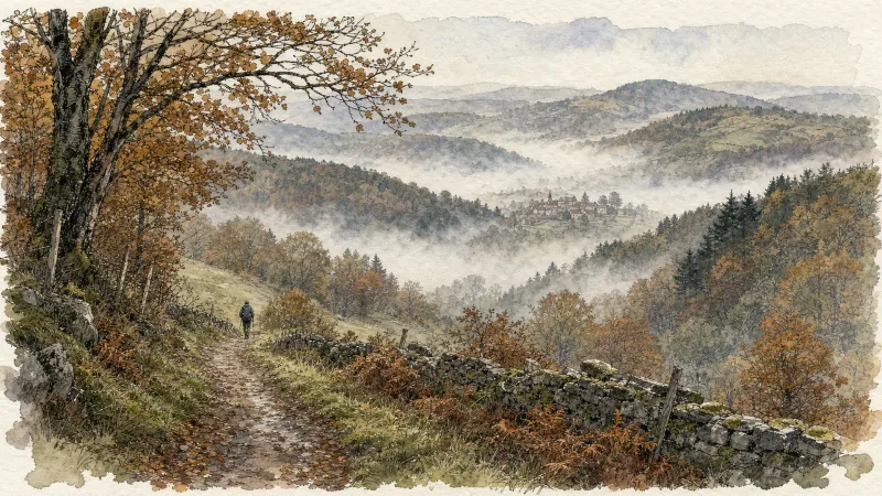
Dallet, Along the Allier
Dallet is a fine example of a former wine-growing village. It stands where the banks of the Allier, the slopes of Puy de Mur—rising above it to 603 m—and the fertile Limagne plain meet. Together, these features supported the site’s prosperity from prehistoric times onward.
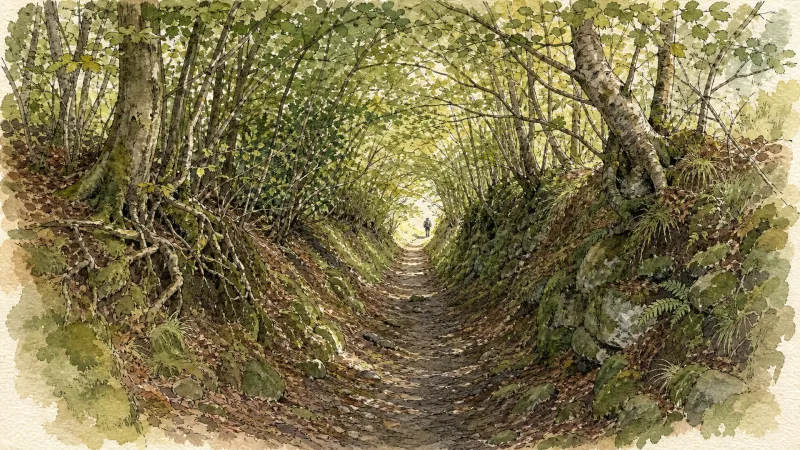
Puy de la Poule
Start: From the start information panel in the car park beside the sports ground on Chemin de la Côte, cross the road and take the track straight ahead. Fifty metres after the farm building, branch right and continue on the track (views of Cournon, the Sancy and Puy de Mur). At the fork, descend to the left. At the T-junction, turn left, then after 10m descend to the right. Follow the Allier on the left, then climb to the left to reach the surfaced track. Follow it to the right to a junction beneath the high-voltage line. 1 - Turn left (water catchment area on the right), continue and, on the bend (picnic area), go straight ahead. At the next junction, turn left into the woods, cross a stream and pass beneath two power lines. At the junction facing the village of Mezel, turn right, pass alongside a ruined building and continue to the road. Cross it and head towards Saint-Bonnet. Leave the road and, after the warehouses, descend to the right on a track. Continue to the road (dog training centre). 2 - Follow it to the left for 40 m, then take the track on the right and stay on this main track, keeping left at the next two junctions and heading towards Saint-Bonnet. Reach the road opposite the community hall, turn right, then left onto Rue de la Fontaine Madeleine, then right as far as Rue des Granges. Follow it to the right to the stop sign at the next junction, then take Rue du Château on the left to the church porch. 3 - Take the street that passes around the church to the left and above it. Pass a water tower and climb on a surfaced track to the château entrance. Take the track on the right opposite the entrance. Pass alongside the farm and, at the high point (view of the Chaîne des Dômes), continue to the fork and turn right. At the junction, turn right beneath the power line, then after 80m climb straight ahead to the left (view of the Forez) to a fork. Turn right across the plateau (ignore the descent that leads directly to Mezel) (view of the Livradois-Forez). Pass around a cirque and reach the road. 4 - Turn right, then after 40m climb the leftmost track (another yellow PR route is on the right). Descend to the left on the track, pass above the château and descend into Mezel (dovecote). Continue to Place de la Fontaine, turn right onto Rue de la Font-Grande, left onto Rue Marmondieu, then left before the château. One hundred metres further on, pass beneath the porch on the right, pass the church entrance, take the passage on the right and continue along the left side of the château (12th- and 16th-century château). Descend to the left along Rue Guyot Dessaigne, then left again at Place de l’Église; descend the small staircase just after the market hall, Passage des Buissonnières. Descend Rue de la Balalong to a mission cross (viewpoint). Turn left onto Rue Côte de Peine, then Rue Célestin Tourres. Turn right onto Chemin de la Côte to return to the starting point.
The Puy de Mur tour
Departure: from the departure sign (Fontaine-lavoir), go left towards the village via rue de la Croix de Laire Basse then rue des Noyeraies. Take successively rue de la Paix, rue Marchidial, the stairs and rue de l'Ancienne Église. At the fork, go up to the left to reach the top of the mound (Chapelle) and the orientation table (view of the Chaîne des puys and Limagne). Cross the park, and go down the grassy path. Take rue de la Croix de Laire Haute on the right for 200 meters and turn right onto the first path to join the road (rue Chatel Vieux). 1. Go left for 50 meters then turn right onto the first path. Continue straight on until the road. Cross it, go straight on, then at the crossroads. At the end of the woods, leave the path on the left and continue (view of Limagne and Pont du Château) on this wide path for approximately 2 km until you reach a road. Take it on the left for 100 meters and take the path on the right (view of Sancy and the Chaîne des Puys) up to the first house. 2. Go up left; at the next intersection continue straight ahead. Rejoin the road, take it to the right for 100 meters and turn right onto a path (water reservoir). Follow it along the balcony and go up to the return point at the T-intersection. Turn left and left again into the clearing. Reach the top of Puy de Mur by a path on the left, which continues with stairs then with a second staircase on the right. (360° panoramic view). 3. Go back down 300m by the same path; At the end of the round trip, continue opposite towards Mezel, leaving the path on the right. At the first houses, take Chemin du Trat then opposite Rue du Chemin de Ronde; At its end, turn left onto rue Guyot Dessaigne. At the cross (view of the Val d'Allier, the Sancy and the Chaîne des Puys) go up this street on the left towards the top of the village (on the right, church and castle (12th – 16th century) up to rue Marmondieu. (On the left, at the corner of the car park, Departure from Mezel sign). 4. Follow this street and turn right onto rue de Font-Grande. Just before the roundabout, go left and immediately right. At the dovecote, at the fork, turn right. Continue on this path, go down towards the road and, just before it, turn left. At the intersection go down right. At the road, go right to reach the starting point.