
Elevation Profile
842–1195 m
In the village near the restaurant, by the information panel. Follow the road to its junction with the road to Viscomtat, turn right towards Noirétable, then turn left beside the former Hôtel du Pont. Climb to the road (coach garage on the left), cross it and continue uphill (fine view, with the Dore plain, Limagne and the volcanic hills of La Comté in the middle distance, and the Chaîne des Puys, Massif du Sancy and Massif du Cantal beyond).
(1) At the top of the hill, cross the road and continue climbing. At the next road, continue straight ahead towards La Chevalerie (during the climb, view to the left of Chignore and the sheltered site of Vollore-Montagne; a fine fountain in La Chevalerie).
(2) At the last house in La Chevalerie, continue climbing to the right. At the mobile-phone mast, continue along the track (view of the attractive Bournier stream valley, with granite blocks emerging in the meadows).
(3) 50 metres after a bend in the track (Fontaine du Vin spring on the right), take a narrow path climbing to the right (another view). In the clearing, before the cross, take a track descending to the left; at the bottom, follow the surfaced road to the right.
(4) At the road, turn left, then at the next junction turn right twice towards Mousset. Pass the hamlet and continue climbing (in very clear weather, through gaps in the trees you can see as far as the Alps, including Mont Blanc; Pic Pelé is closer). Stay on this track (after the first broad left-hand bend, Croix de l’Hermitage comes into view). At a large timber storage area, ignore the track on the right and continue straight ahead.
(5) At the next junction, continue uphill, always staying on the main track.
(6) In a clearing (an optional return trip to Pierre Pamole follows the track on the right that climbs gently. At the summit, walk around the rocky outcrop for a sweeping view: to the south, the Cantal and Sancy; to the east, the volcanic hills of the Billom area and La Comté and the Chaîne des Puys; to the north, Montlune and the village of Arconsat; and to the west, the Monts du Lyonnais, the Alps and the Massif du Forez with its summit, Pierre-sur-Haute), take the track descending into the woods to the left of the “Pierre Pamole” sign. At the next junction, take the track on the right (Arbre du Diable) and continue straight ahead to Le Pertuis.
(7) Cross the D42 and continue straight ahead (towards Forêt d’Aiguebonne). At the next junction, descend to the left into the hamlet of Les Rallières and cross it. (On leaving the hamlet, views of the Monts du Forez, Pierre-sur-Haute and, in the foreground, the attractive Pamole stream valley). Continue on the same track.
(8) At a T-junction, turn left. At Croix des Tuiles, continue straight ahead. Cross the stream and, at the road, turn right to return to the starting point.
At a Glance
- Duration
- 4.5hrs
- Distance
- 16.3km
- Elevation +
- +521 m
- Elevation -
- -516 m
At a Glance
Live Weather
Departure / Arrival · Vollore-Montagne
Live conditions
—
Feels like
—
Wind / gusts
—
Visibility
—
Updated: —
Field notes and images
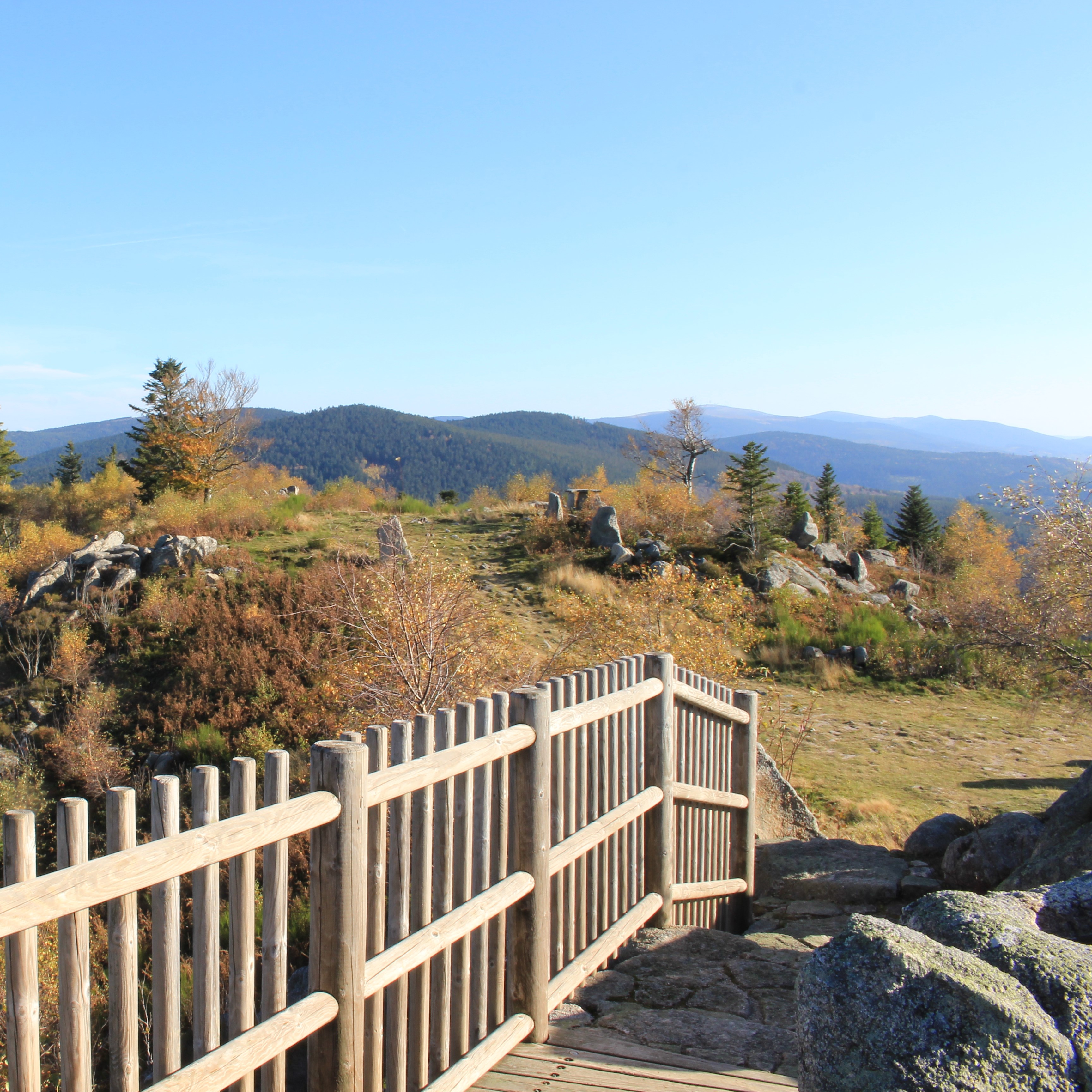
Point de vue depuis Pierre Pamole
Captured by Maison du Tourisme Sébastien Giraud
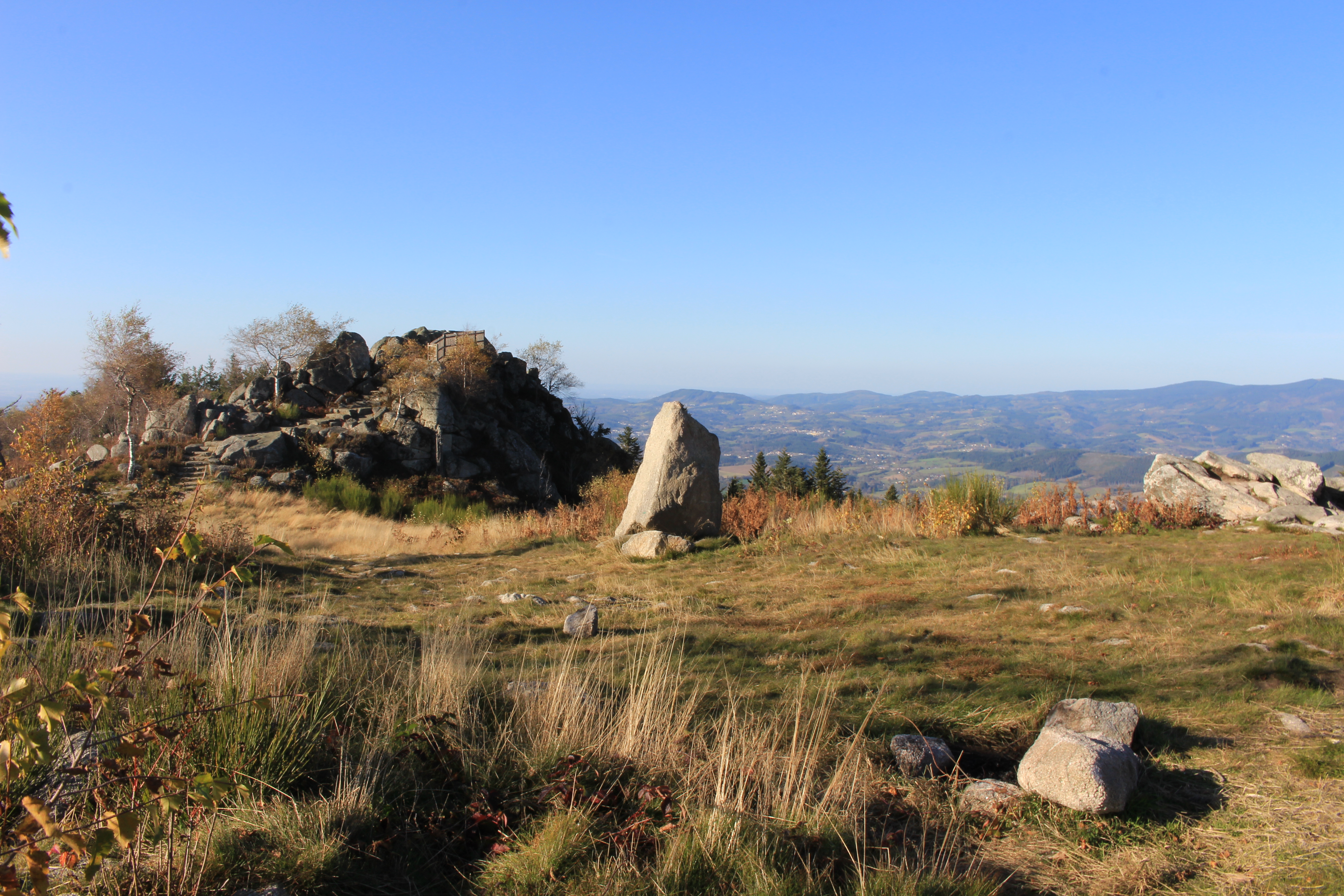
Point de vue depuis Pierre Pamole
Captured by Maison du Tourisme Sébastien Giraud
Explore Nearby
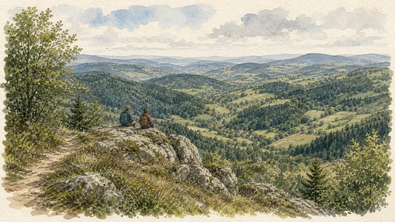
The Bridges Circuit
Start: From the church in La Renaudie. Descend the main road (D102), then continue straight ahead at the junction onto the D41 (towards Le Brugeron). Follow the D41 to the Croix de Ste Agathe. Take the road on the right towards Le Clef (view of the village of La Renaudie). At the entrance to the hamlet, just after a barn, take the stony track on the right; pass the renovated house and continue along the grassy track. Continue for approximately 800 m from Le Clef, then turn sharply right to cross the Rioubet stream. Climb the same track to La Chossonie. 1. Just after the first house, leave the road for the track descending slightly to the left. At the fork, continue right (view of the Chaîne des Puys). At the entrance to La Vialle, immediately climb to the right. At the top of the village, cross the D41 and take the track opposite between 2 low walls. On the climb, leave the track and turn left (view of the Sancy massif and the Chaîne des Puys). Continue straight ahead, then turn left near the cross. 2. On reaching the hamlet of Thérias (on a bend), follow the road to the left for 50 m, then turn right towards Les Gouttes at the junction. 20 m farther on, at the cross, leave the road and take the track on the left. At the junction, take the small road opposite (towards La Chaugne). 15 m farther on, leave this road for the track on the right. Cross the stream and continue straight ahead. Pass alongside a hamlet (Les Champs-Elysées) and, at the junction, continue on the same track opposite to Le Garret. 3. In the village, climb the small road opposite to reach the D41. Cross it and take the track opposite. At the fork, continue straight ahead. In the hamlet of Le Cheix, go around the house and continue through the forest to the ruins of the village of Vironesse. 4. At the ruins, continue along the main track for approximately 250 m, then turn onto the first track on the right. Remain on the same track to the Pale stream. Follow the stream on its left-hand side (the track is very wet in places) to reach the D 317. 5. Follow it to the right for 500 m. On reaching the hamlet of La Goutte, take the D 102 to the right (towards La Renaudie). 150 m farther on, on the bend, turn left and follow the right-hand edge of the field. At the junction, take the track on the right. Follow this climbing track for 1.5 km, then turn left at a crossroads of 4 tracks. Remain on the main track until you reach a road. 6. Follow the road to the right for 200 m, then turn right. Beside a ruin, continue straight ahead; follow the Couzon stream. Ignore the forest track branching right and remain on the same track to a ford. 7. Just before the ford, take the track bearing right. Follow the road to the left, then take the first track on the left. At the fork, continue straight ahead. At the junction of several tracks, turn left and then immediately right. Follow the same track to a road. 8. Follow it to the left, then turn left at the next junction. 150 m farther on, turn left again and cross the fields. On reaching the D 101 at the entrance to the village of La Chambonie, beside the cemetery, turn right for 5 m and then immediately take the road on the right. Follow it for 500 m. 9. Beside a small wrought-iron cross, just before an isolated house, turn right and climb through the woods. At the top of the hill, take the clearest track on the right. On leaving the woods, turn sharply left. 10. Follow the road to the right. Cross the hamlet of Le Verdier and remain on the same road. Follow the D 41 to the right. At the large junction, leave the D 41 and take the D102 to the right (towards La Renaudie). Enter the village and return to the church.
Des Margerides au Grun de Chignore (circuit route n°7)
Discover this trail through the heart of Livradois-Forez.
Du col de la Loge au col du Béal (circuit route n°6)
Discover this trail through the heart of Livradois-Forez.