
Elevation Profile
511–618 m
De la place des Grolles, descendre vers la halle couverte, la longer à droite puis, juste après, tourner à gauche pour passer devant la bascule et continuer tout droit.
(1) A la sortie du bourg de Mauzun et juste avant le hameau de Micolerie, quitter la route pour prendre un chemin bordé de chênes à gauche. A l’intersection, prendre tout droit le chemin qui longe le mur d’enceinte d’une propriété jusqu’à la D 997.
(2) A la D 997, (attention, circulation rapide) tourner à gauche et, 50 m plus loin, em prun ter la petite route gou - dronnée à droite (direction le Cha bagnal). Passer à droite de la croix du Chabagnal et pour - suivre en face sur le chemin de terre.
(3) A la D 338, la traverser et prendre le chemin herbeux qui descend en face.
(4) Couper de nouveau la D 338 et emprunter le chemin qui s’élève sous les pins en face jusqu’au hameau des Plats (vue à gauche sur la chaîne des Puys, le massif du Sancy, les monts du Livradois, la Limagne, la Comté, Clermont- Ferrand et le château de Mauzun), puis descendre à droite sur le chemin goudronné (vue sur les monts du Forez légèrement sur la gauche). Au carrefour en « T », bifurquer sur la route à droite (direction Estandeuil). Traverser le hameau de Fénérol et continuer tout droit.
(5) A l’église d’Estandeuil, tourner à droite pour passer devant la mairie puis, traverser la route dans le virage et emprunter le chemin goudronné à gauche en direction de la Palle. A la fourche, quitter la route et prendre le chemin empierré juste en face. A la patte d’oie, laisser le chemin de gauche et continuer sur le chemin principal qui s’élève lentement à droite jusqu’à Champ Redon. Traverser Champ Redon (vue sur le bourg d’Estandeuil et la tour en ruine de la Rochette) par la route pour rejoindre la D 7.
(6) A la D 7 (vue sur le château de Mauzun), la suivre à gauche et prendre le premier chemin herbeux en lisière de forêt à droite juste après la borne à incendie. A la route, tourner à gauche pour longer l’étang.
(7) Au bout de l’étang, à la fourche, continuer à monter à droite sur la route jusqu’au hameau du Pic.
(8) A l’entrée du hameau du Pic, au niveau du four banal rénové, tourner à droite pour longer la première maison et emprunter le chemin herbeux passant entre deux clôtures (vue sur le château de Mauzun légèrement sur la gauche). Continuer sur ce même chemin, passer le ruisseau de l’étang du Pic puis monter en face sur un chemin herbeux et humide jusqu’à la D 997.
(9) La traverser (attention, prudence mauvaise visibilité). A l’entrée du hameau du Vernet, prendre la petite route goudronnée à droite (ignorer la route qui va au hameau de la Micolerie). Traverser le hameau du Vernet et, à la sortie, tourner à gauche sur un beau chemin herbeux pour longer le mur d’enceinte de la propriété de Bellevue. Au bout du chemin, à la grille du château, tourner à gauche pour rejoindre Mauzun et la place des Grolles par le même itinéraire qu’à l’aller
At a Glance
- Duration
- 2.5hrs
- Distance
- 8.9km
- Elevation +
- +231 m
- Elevation -
- -231 m
At a Glance
Live Weather
Departure / Arrival · Place des Grolles, Mauzun
Live conditions
—
Feels like
—
Wind / gusts
—
Visibility
—
Updated: —
Field notes and images
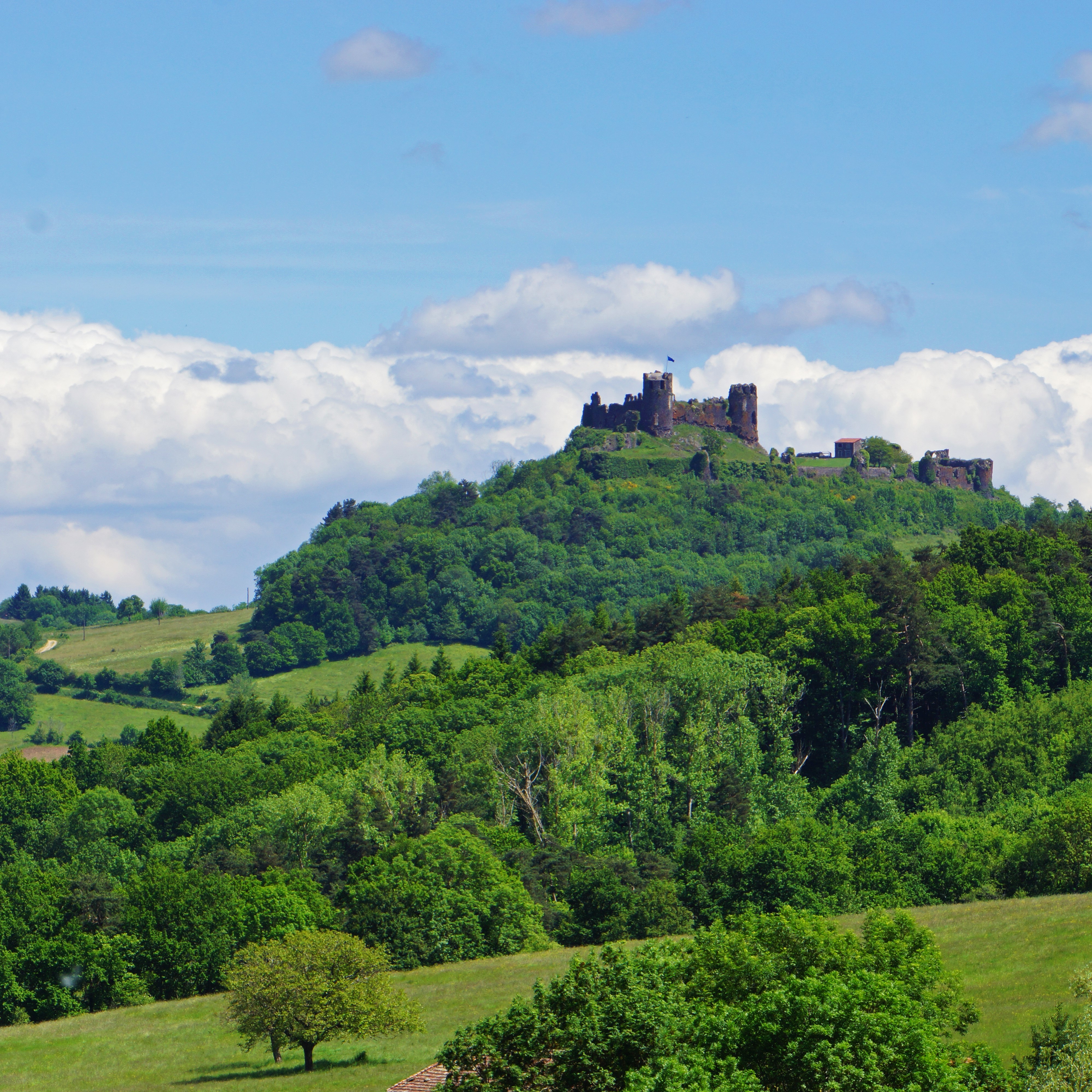
Vue sur le chateau de Mauzun
Captured by Maison du Tourisme Sébastien Giraud
Explore Nearby
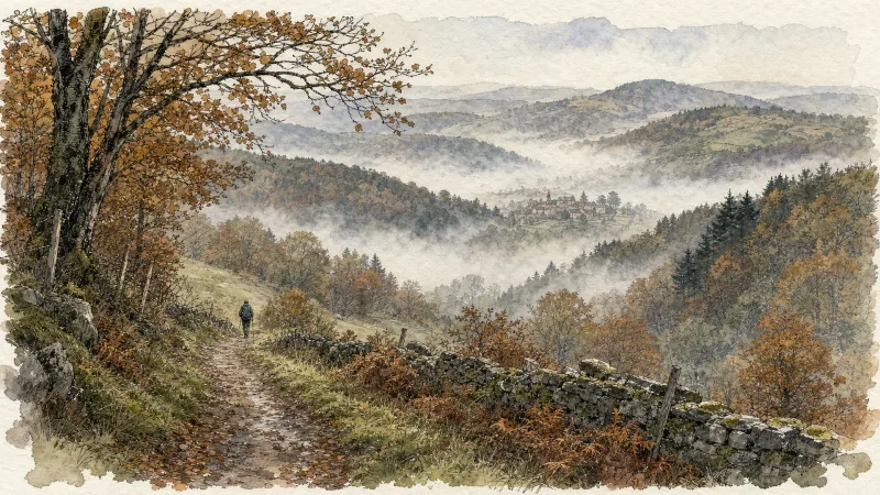
Around the towers and castles
Departure: Take the alley to the left of the town hall which runs alongside the village hall. 20 m further, at the fork, take the path on the left between the stone houses. Cross the D 303, and take the road opposite. In the village of Audigier, turn right to pass between the houses. At the fork, at the exit of the hamlet, continue right on the path. At the Sardiats stream, continue on the same path (view of the Château de Mauzun on the left). 1. At the D 20, take it on the right for 400 m; then at the next crossroads, turn right towards Puy Gentil. At the hamlet, go up left to the D 152. Take it on the right to enter Neuville (view on the left of Clermont-Fd, the Chaîne des Puys and the Château de Ravel). In Neuville, opposite the church, turn left then immediately right after the fountain (direction Les Peux); then 10 m further, turn left (view on the left of the ruined Neuville tower). 2. At the next crossroads, turn right. Cross the village of Peux (view of the Mauzun castle slightly on the left, the Puys chain and the Sancy massif, Billom, Clermont-Fd). In the hamlet of Pireyre, at the crossroads, turn left. At the last houses, leave the road and take the path which goes up to the left (view of the Mauzun castle, Bongheat in the foreground and the Sancy massif in the background on the right, Château des Salles, Billom, Clermont-Ferrand, the Limagne plain and the Puys chain completely on the right). At the crossroads of 5 paths, take the opposite direction and pass next to the Château du Cheix. 3. At the D 303, take it on the right. 200 m further, turn left to enter the village of Herment. At the exit, continue to the right on the road which becomes a grassy path (view of the Mauzun castle on the left) then follow the D 303 on the left. At the level of the lake, take the sunken path which rises to the left and continue on this same path to Bel Air (100 m after Bel Air: view of the Mauzun castle opposite, the Sancy massif and the Puys chain slightly to the right). 4. At the crossroads, at the road (view of Thiers on the left, the Forez mountains opposite, the Mauzun castle, Sancy massif and Puys chain on the right) turn right. At the D 7, follow it for 50 m and turn immediately right. Cross the hamlet of La Montagne. 5. At the entrance to Mauzun, turn right, and, at the wrought iron cross, immediately go up to the left to pass between the houses then turn right to join the D 20. Take it on the right, skirt the chapel then the covered market. At the next crossroads, turn right onto the D 20 (direction Bongheat). At the Place des Grolles, (possibility of going up to the Château de Mauzun) take the path between two houses at the back of the square. At the crossroads (nice view), go down opposite and continue on this same path. 6. At the fork, continue to descend to the left (ignore the stony path). Walk along the cemetery, and at the road, turn left to enter Bongheat.
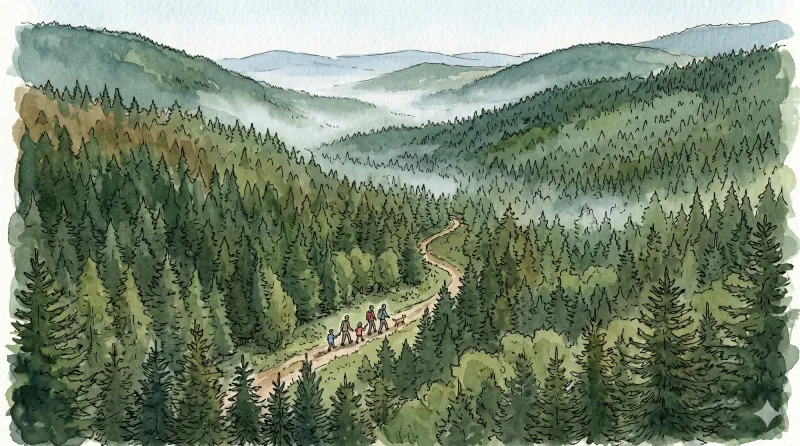
Circuit du livradois - Les châteaux du Livradois (boucle n°4)
Ce circuit vous propose un voyage à travers le temps... de l'époque gallo-romaine jusqu'aux chevaliers !
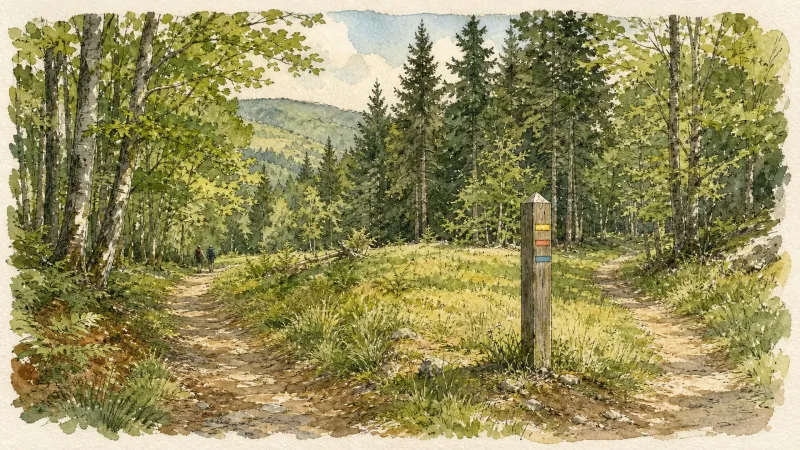
Circuit Week-end : Égliseneuve-près-Billom - Saint-Jean-des-Ollières
Venez découvir ce magnifique circuit Week-End. Vous arpenterez la Vallée du Madet, découvrirez le chateau de Mauzun et surplomberez l'étang des Maures sans oublier les vues magnifiques sur la Chaine des Puys, les Monts Dore et les Monts du Forez