
Elevation Profile
387–716 m
Start: Climb into the village along the main street as far as the church (a small landscaped park is on your right). Turn right after the church. 50 m further on, leave the main road and take the very narrow path climbing through the woods on the left. Continue on this same path across the hillsides (just before entering the conifer plantation, viewpoint over the Chaîne des Puys and Sancy).
1 - At the junction, take the earth track on the right (ignore the track on the left) then, after about 150 m, leave the main track and take the path climbing to the left towards the hamlet of Lesvignes. (Just before Lesvignes, on the right, viewpoint over the Chaîne des Puys, Sancy, Clermont-Ferrand and the Thiers area). Ignore the track on the right and continue on the path straight ahead towards Lesvignes. In the hamlet, join the small surfaced road straight ahead (ignore the road on the left). Continue on this small road through the hamlet, then at the top leave the main road and take the path straight ahead.
2 - After 50 m, at the junction, cross the D102 and take the road towards Champaumont. In the hamlet of Champaumont, at the junction by a rammed-earth barn, take the earth track on the left (ignore the road descending to the right into the village). At the junction by the rammed-earth building (Chez Pateil) take the track on the right. (Take care at the junction with the Sainte-Agathe PR route, Topoguide Montagne Thiernoise). Continue on the main track to the D102.
3 - At the D102, follow it to the right for 10 m, then take the track heading left. 80 m further on, at the fork, ignore the track on the right and stay on the main track straight ahead. On the descent, at the fork, continue on the track to the right towards the hamlet of La Bénétie. (At the right-hand hairpin bend, views of Courpière, Clermont-Ferrand, the Chaîne des Puys and Sancy). In La Bénétie, descend on the small surfaced road. At the junction at the bottom of the hamlet (views of the Chaîne des Puys and Sancy, with the Monts du Forez and Pierre-sur-Haute on the left.
4 - Take the earth track contouring the hillside to the right towards Truchevent (panorama: summit of Pierre-sur-Haute, Grün de Chignore (Vollore-Ville), Courpière, Puy de Courdeloup, Colline de la Comté, Chaîne des Puys, Sancy and Massif du Cantal). At the fork, continue to the left in front of the houses of Truchevent. Continue descending on this same track towards Escoutoux. By the water tower, ignore the track descending to the left and continue straight ahead. At the junction on the left-hand bend, leave the main track and take the path straight ahead into the plantation. Descend to Escoutoux and return to the car park.
At a Glance
- Duration
- 2.5hrs
- Distance
- 6.9km
- Elevation +
- +342 m
- Elevation -
- -342 m
At a Glance
Live Weather
Departure / Arrival · Escoutoux
Live conditions
—
Feels like
—
Wind / gusts
—
Visibility
—
Updated: —
Field notes and images

Vue sur Thiers
Captured by Maison du Tourisme
Explore Nearby

Quatre Vents Challenge (Road Circuit No. 14)
One of the shortest circuits designed as a loop from the national cycle-touring centre, this route uses many quiet minor roads. Follow the directions carefully to avoid losing the route. Take particular care on the road after Néronde, especially when turning left off the D906.
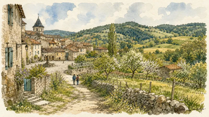
Cité Thiernoise (circuit n°49)
Discover this trail through the heart of Livradois-Forez.
Des Margerides au Grun de Chignore (circuit route n°7)
Discover this trail through the heart of Livradois-Forez.