
Elevation Profile
730–974 m
D. With your back to the church, go down left, then right, passing in front of the town hall. At the next intersection, turn left towards Col du Béal. At the start of the bend, leave the main road by taking an uphill road on the right. Pass in front of the water tower before reaching the road again. Follow it to the right, crossing the hamlet of L’Arbre. At the bend, leave it on the left by a stone path which goes up to the hamlet of Échelettes.
1. Follow the road to the left, then immediately turn right onto an ascending road which becomes a path. At the crossroads, turn right to go down through the woods to Fonteilhet (on the right, view of Le Brugeron). Ignore the rising road on the left and follow the road a little further down to the left for a few meters, before cutting the right turn via an emerging path. Cross the road again towards Les Farges.
2. Shortly before the hamlet, leave the road on the right by a path going down through the woods. It joins a road a little further down.
3. Cross (caution) and then go down left to Bourchany. Cross the hamlet on the right and follow a path going down to the right to the Gérize stream (be careful, often wet path). Cross via the footbridge before going up through the beech forest.
4. At the intersection, continue to the right alongside a first house (on the right seen on Le Brugeron). Continue and cross the hamlet of Fradas on the left (possibility of cutting to the right to reach the starting point via the Tour de Pays en Livradois-Forez) up to the road which you must follow to the right for 130 m.
5. Leave the road for a forest path on the right. It goes down to the Gérize stream which must be crossed again by a stone slab bridge. The path goes up to La Londiche before continuing to the right until you reach a road.
6. Follow the road to the right for a few meters before going down to the left towards the Moulin du Bègue.
7. Before the bridge (on the left, round trip to the Moulin du Bègue and its waterfall), go up to the right along the track which joins a sewage treatment plant then an intersection.
8. Join the crossroads on the right then take the first road on the left to Brugeron. In the town center, continue straight on the uphill street to find the starting point.
At a Glance
- Duration
- 2.5hrs
- Distance
- 7.4km
- Elevation +
- +335 m
- Elevation -
- -336 m
At a Glance
Live Weather
Departure / Arrival · Le Brugeron
Live conditions
—
Feels like
—
Wind / gusts
—
Visibility
—
Updated: —
Field notes and images
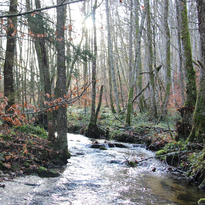
Le ruisseau de Gérize
Captured by MDT
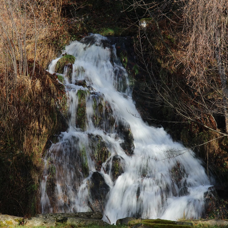
La cascade du moulin du Bègue
Captured by MDT
Explore Nearby

Dore Loop
The Livradois-Forez Regional Natural Park, a land of grassland and woodland, promises a memorable journey between valleys and ridges.

Forez Circuit — Les Hautes-Chaumes (Loop No. 5)
This route reveals nature that is still wild in places: Livradois-Forez and its vast, rolling upland plateaus, including Les Hautes-Chaumes.
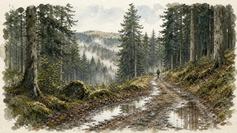
Circuit n°16 Col du Beal
Discover this trail through the heart of Livradois-Forez.