
Elevation Profile
455–653 m
Departure: From the church of Domaize, take the main road on the right, towards St Dier.
1. At the St Anne cross, take the path below which runs alongside a house and its pond. Follow the dirt road on the left which descends into the valley. Cross the D65 and head opposite towards Rouchadet.
2. On the descent, in the hairpin bend, leave the tarmac and turn left to go up along the stream towards the Palles car refour.
3. Take the D304, at the left end of the crossroads towards Ceilloux, then, 50 m on the left, the dirt road which goes up the hillside. At the first crossroads, turn left.
4. In the village of La Roche, go up to the right behind the first house towards Les Pradets, where you continue along the dirt road lined with 3 chestnut trees to Le Fraisse.
5. Take the tarmac path on the right, between the houses, then straight uphill.
6. When you arrive on the plateau, at the pond, turn left and cross the farmyard of Martin's. Then stay on the flat, abandoning the tarmac for a straight dirt road. Below, at the crossroads, turn left.
7. At the crossroads, 2 stone troughs, join the tarmac of the D65, cross the Vacher, then straight on along a dirt road towards La Côte. After the hamlet, in the hollow, continue straight on, uphill.
8. At Cheix, straight on, leaving the pond on the right. At the Trois Fourchoux cross, cross the D65E, take a dirt road opposite it, on the flat.
9. Then take the tarmac path on the left, direction Domaize, via the cemetery and the suburb. The arrival is under the market hall, facing the castle.
At a Glance
- Duration
- 3.0hrs
- Distance
- 8.9km
- Elevation +
- +222 m
- Elevation -
- -223 m
At a Glance
Live Weather
Departure / Arrival · Domaize
Live conditions
—
Feels like
—
Wind / gusts
—
Visibility
—
Updated: —
Field notes and images
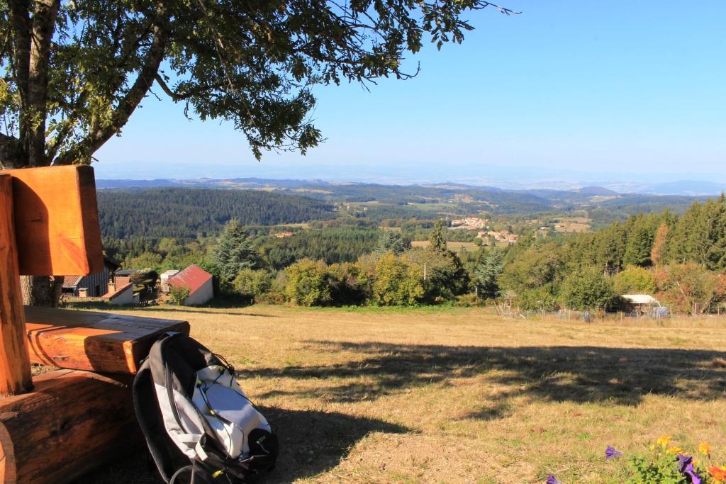
point de vue en Livradois-Forez
Captured by Maison du Tourisme
Explore Nearby

Circuit n°46 Le Val de Mende
Secteur Cunlhat
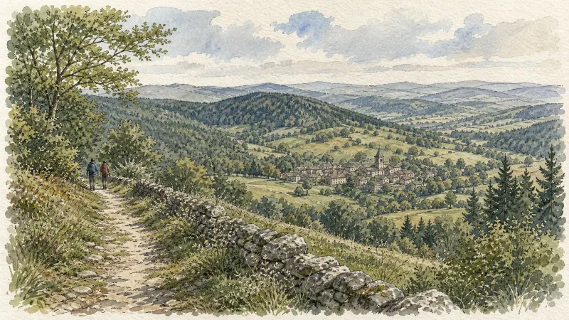
Des Hautes-Chaumes au Livradois (circuit route n°8)
Discover this trail through the heart of Livradois-Forez.
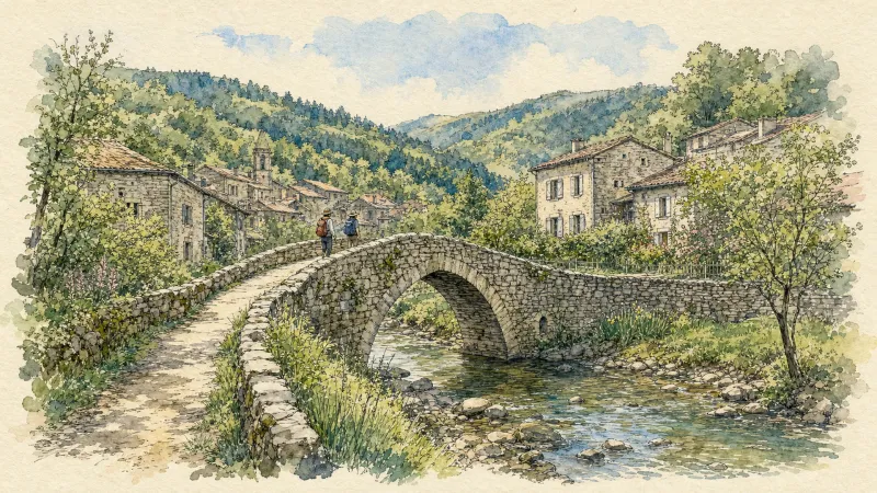
En passant par Olliergues (circuit route n°15)
Discover this trail through the heart of Livradois-Forez.