
Elevation Profile
330–371 m
Departure: From the ceramic museum parking lot, take the road on the left and pass in front of the museum. Continue to the next roundabout and turn right onto rue de la Baronne. Take rue Raymond Joyon on the right for 50 m before following the wall on the left rue du Pont Bourlier. Then turn left into the small park, go around the media library and go up rue du Docteur Grimaud to Place de Prague.
Cross it to turn right into rue Saint Georges and pass under the porch.
1. Arriving in front of the Maison du Peuple, take rue du Maréchal Leclerc to the town hall. Then turn left onto rue des Augustins and turn immediately right onto rue de Sarsina. Continue opposite and take the second street on the left. Go down Rue des Aises on the left to take Allée des Chalards on the right. Cross Place des Chalards to reach Rue Gaubert opposite. Leave the wastewater treatment plant on the left. The road turns into a path, follow it on the right until the D20.
2. Take it to the right for 100 m before taking the first path on the left. Continue on the main path until you reach Allée de Ligonne. At the crossroads of several roads, take the path to the Etang de l’Isle. Just before the pond, turn onto the left path and go around the pond. Then cross the road to take Allée de la Valeyre. Take Allée de Ligonne on the left for 50 m before turning right onto Rue Gabriel Marc.
3. Cross Place Georges Raynaud (viewpoint on the right over the Limagne plain, the Chaine des Puys and the Massif du Sancy) and take Rue Saint Taurin before turning onto Rue du Docteur Plicque on the left. Turn immediately right into Impasse Pasteur before taking Rue Pasteur on the left. Go around the retirement home and take Rue de la République on the right to Place Jean Rimbert.
4. Turn onto the street on the left and continue (opposite) to the people's house. After the bookstore, go under the porch and take rue du Fort. Turn onto the second street on the left. Follow rue de Malintrat before turning right onto rue des Bourgauds. Continue opposite to find the ceramic museum parking lot.
At a Glance
- Duration
- 2.5hrs
- Distance
- 8.7km
- Elevation +
- +60 m
- Elevation -
- -61 m
At a Glance
Live Weather
Departure / Arrival · Aire d'accueil touristique, Lezoux
Live conditions
—
Feels like
—
Wind / gusts
—
Visibility
—
Updated: —
Field notes and images
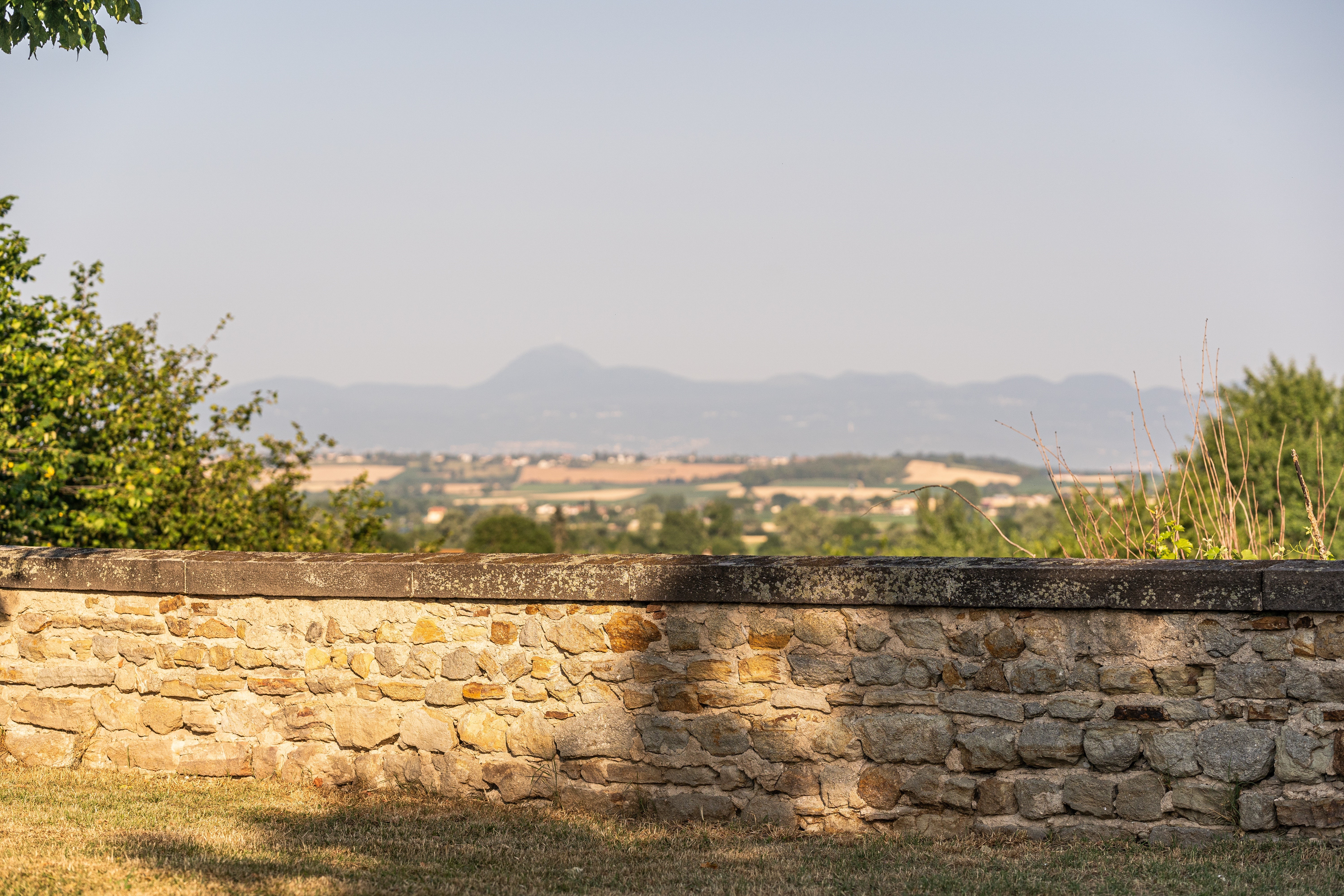
Vue sur la chaine des Puys depuis Lezoux
Captured by Denis Grudet/CC Entre Dore et Allier
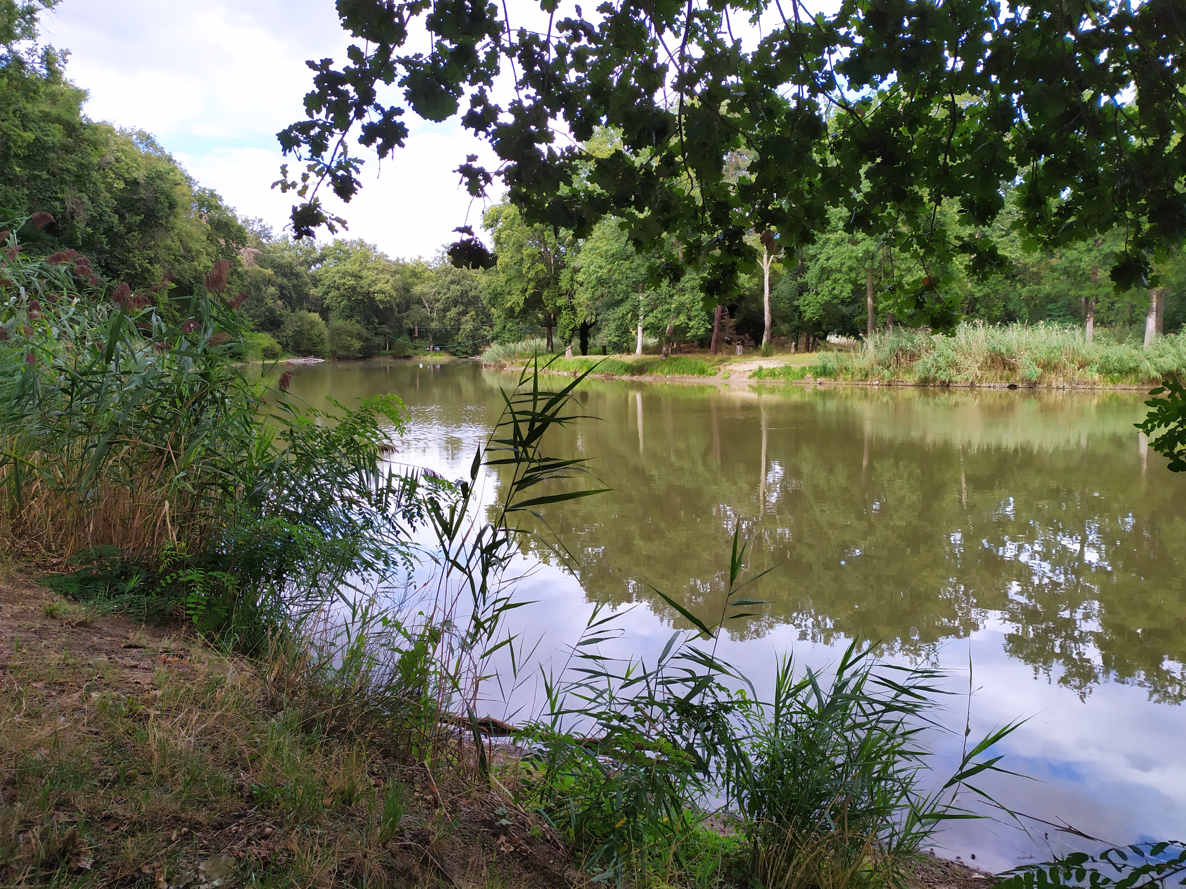
Etang de l'Isle
Captured by MDT LF
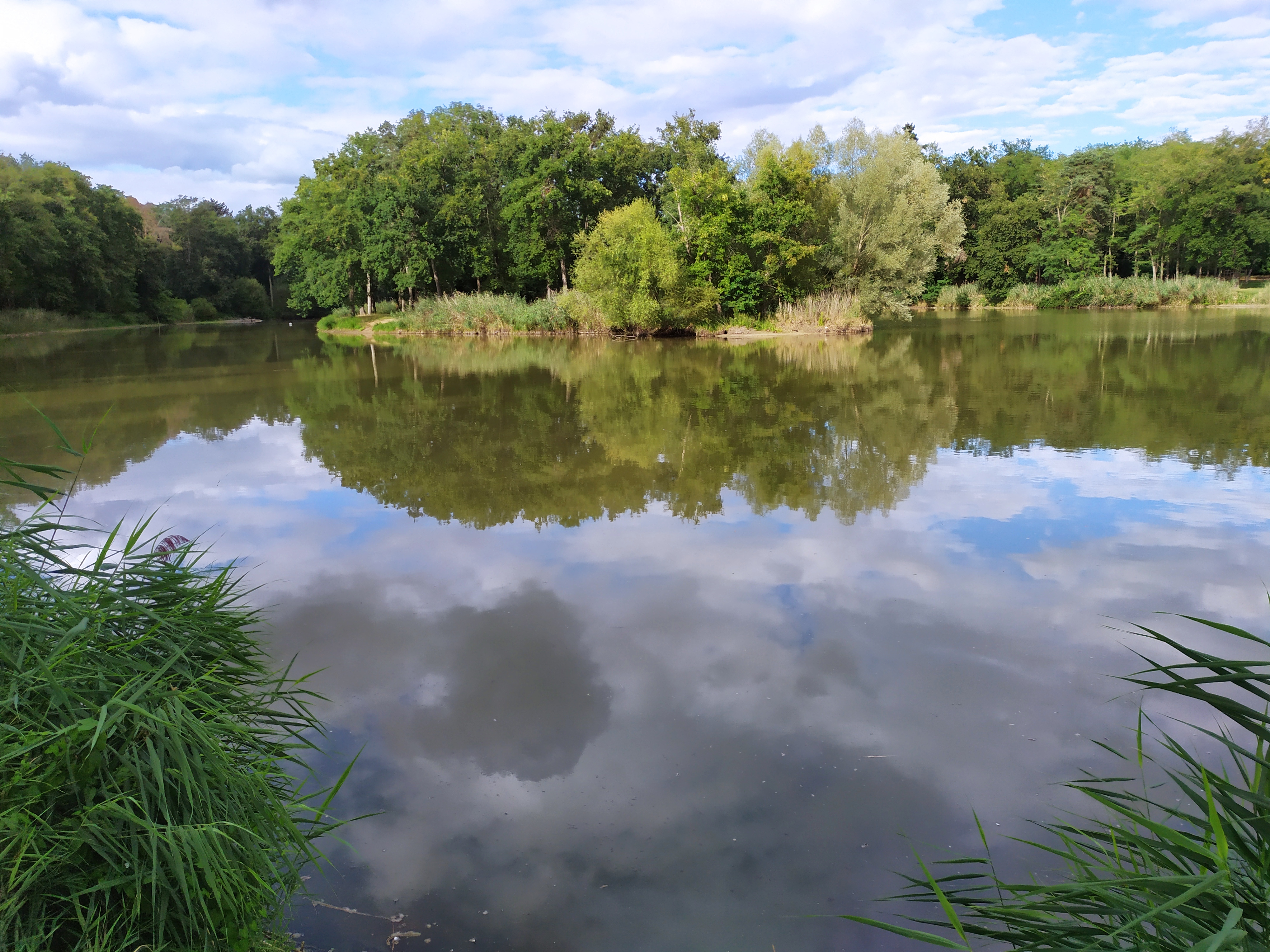
Etang de l'Isle
Captured by MDT LF
Explore Nearby

Walk for everyone
Saint Jean d’Heurs has long been open to everyone young or old, very or less mobile, from here or elsewhere. This walk for everyone, short and without great difficulty, illustrates this state of mind and allows you to discover the woods and fields of this end of Varennes and in the distance, the Puy de Dôme, the Sancy or Pierre sur Haute.

Balad’heurs
This 11.2 km loop starts and finishes at Saint-Jean-d'Heurs, with 130 m of ascent and an estimated duration of 2 hr 30 min.
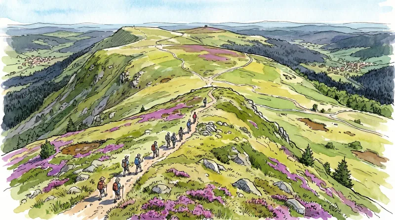
Livradois Circuit — The Châteaux of Livradois (Loop No. 4)
This circuit offers a journey through time, from the Gallo-Roman period to the age of knights.