
Elevation Profile
373–420 m
Departure: From Place Rouget de Lisle, go around the village hall and at the Route Charles Aznavour, take it on the left towards the village of Fouhet.
1. At the crossroads of 4 roads, continue opposite on the Aretha Franklin road which turns left and take the first road on the right. At the crossroads of four paths, turn left and follow the Hunting Tower.
2. At the road, near the reservoir, graffitied by the artist Keymi, turn left. Turn right onto Route Véronique Sanson then take the first road on the left, direction Chez Barrot.
Cross the village via Rue Tracy Chapman.
3. At the exit of the village, take a path on the left and keep the main path until you reach the road. Take it on the right and continue until you find the town of Saint-Jean-d’Heurs.
At a Glance
- Duration
- 2.0hrs
- Distance
- 5.5km
- Elevation +
- +51 m
- Elevation -
- -51 m
At a Glance
Live Weather
Departure / Arrival · Saint-Jean-d'Heurs
Live conditions
—
Feels like
—
Wind / gusts
—
Visibility
—
Updated: —
Field notes and images

Chemin à St-Jean d'Heurs
Captured by © Denis Grudet/CC Entre Dore et Allier
Explore Nearby

Balad’heurs
This 11.2 km loop starts and finishes at Saint-Jean-d'Heurs, with 130 m of ascent and an estimated duration of 2 hr 30 min.

Quatre Vents Challenge (Road Circuit No. 14)
One of the shortest circuits designed as a loop from the national cycle-touring centre, this route uses many quiet minor roads. Follow the directions carefully to avoid losing the route. Take particular care on the road after Néronde, especially when turning left off the D906.
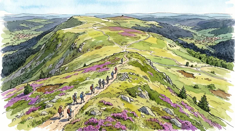
Livradois Circuit — The Châteaux of Livradois (Loop No. 4)
This circuit offers a journey through time, from the Gallo-Roman period to the age of knights.