
Elevation Profile
404–462 m
Le centre nature « Quatre Vents » est situé sur le premier plateau au-dessus de la vallée de la Dore sur lequel sont implantés les Bois de la Plaine qui dépendaient autrefois du château de Vollore-Ville. Cette balade balisée offre donc une jolie vue sur ce village et son château avant de procurer un rafraîchissement à l’ombre des bois
At a Glance
- Duration
- 1.5hrs
- Distance
- 8.9km
- Elevation +
- +103 m
- Elevation -
- -107 m
At a Glance
Live Weather
Departure / Arrival · Centre nature des 4 vents (Aubusson d'Auvergne)
Live conditions
—
Feels like
—
Wind / gusts
—
Visibility
—
Updated: —
Field notes and images
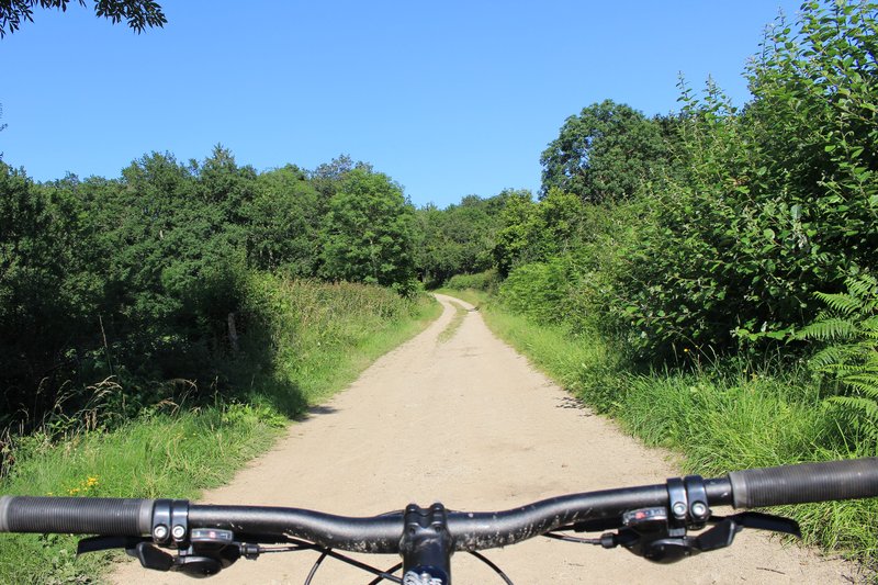
chemin
Captured by Maison du Tourisme
Explore Nearby
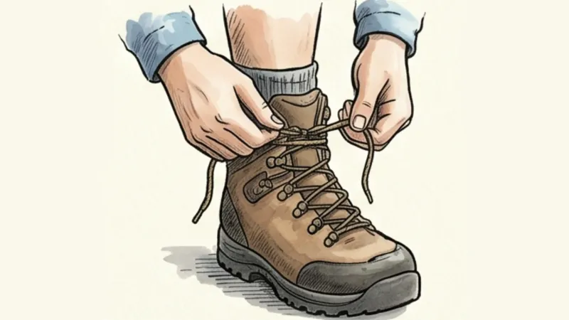
Around the Couzon valley (circuit n°8)
Very nice, varied marked circuit, which alternates descents and climbs on paths presenting several technical passages (deep ruts, slopes, small screes). In particular, you should be particularly vigilant during the first descent between Ollières and the Mégain bridge, especially if you have not had the opportunity to warm up a little beforehand. The circuit then runs along the western part of Lake Aubusson before passing near the Notre-Dame d'Espinasse chapel built just above a miraculous spring from which water springs which can treat and cure certain skin diseases such as eczema...
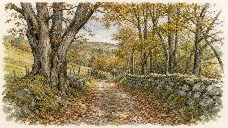
Fairy Walk
Departure: church square. Walk past the church then follow the road to the railway line. Before this, turn right and follow the street for 500 m. Head towards the D 906. Cross it to take the road opposite, be careful of fast traffic (direction la Brousse). Turn left and join La Brousse. 1. In the hamlet, take the path on the left, just after the fountain. Continue on this same path to the village of Chaumies (viewpoint over the Forez mountains). At the first houses, take the path opposite. The path becomes a road that we always follow. At the last house, leave the road and take the path opposite. Leave the first path on the right which goes down into the woods. 2. At the top of the hill, at the crow's feet, take the path on the right (viewpoint). Go down towards the stream and continue along the same path. Arriving at the road, turn right towards the hamlet of l'Eschalier. At the first houses, turn left to join the road. Cross it to take the small road opposite. 3. At the transformer, turn right onto the road then, 150 meters further, follow the D44 on your left for approximately 1.5 km. 4. At the cross, continue to the right on the D 308 and join the D 906 (be careful of fast traffic). Cross it to reach the church square in Néronde-sur-Dore.
Walk in Bas-Livradois (route route n°25)
Discover this trail through the heart of Livradois-Forez.