
Elevation Profile
794–939 m
Park in the church square in St-Alyre-d’Arlanc. Head towards the D 999 and follow it to the right. 20 m further, take the road on the right to Ferreyre. Cross the hamlet and continue on the road.
(1) 350 m after, turn right onto the forest path.
(2) At the road, continue opposite and enter the hamlet of Issac. Pass in front of a private property and continue opposite on the grassy path; follow a cultivated field up to the road. Then turn right and, 80 m further, follow the tarmac path on the right(viewpoint over the hamlet of Clavelier and the ruined castle tower). Cross the D105 and enter the hamlet ofClavelier.
(3) At the stone cross(Possibility of going back and forth to go up to the ruined tower of the castle – 15 min round trip), turn left on the road, continue straight on the path. At the fork(wooden cross) continue opposite until the D 105. Turn right for 30 m and turn immediately left to cross the hamlet ofla Grange (viewpoint over St-Sauveur-la-Sagne). Walk alongside the old school of St-Sauveur-la-Sagne and, at the stone cross, go down towards the D 105; follow it opposite to enter the village.
(4) Go up the lane on the left to skirt the church, follow the grassy path which rises above the village (viewpoint of the church of St-Sauveur-la-Sagne and the Dore gorges). At the road, turn right, skirt the cemetery and follow the forest path crossing the Bois de la Garde which overlooks the Dore gorges then the Dorette gorges for a good kilometer (Possibility of going back and forth to the Sapin site, in the gorges). Always keep the main track until a large crossroads, continue to go up to the right until Poulargues(viewpoint on the tower of Clavelier castle and the Monts du Forez).
(5) At the last house in the hamlet(Possible variant, if leaving from St-Sauveur-la-Sagne, turning left on the road to reach Clavelier), follow the road to right. 1 km further, at the crossroads of two roads, continue opposite and, 20 m further, take the path on the right to enter the conifer plantation. Go down towards the Sainte-Elidie chapel. At the cross, go down left to the chapel and cross the Dorette stream. Go up the path on the left and pass under the railway line.
(6) At the D 38, go up the path opposite to Germalanges. Cross the hamlet and continue to the D 999.
(7) Turn left (yellow markings for the La Haute-Dore circuit going to the right) and, 200 m further, follow the stony path rising to the right. At the road, continue straight ahead. Follow this path to the village of Lapeyrie. Leave a first path on the left and, in a right turn, take the second path on the left. Always keep the main path.
(8) At the hamlet of Montel, continue opposite(viewpoint over the village of St-Alyre-d’Arlanc). At the entrance to St-Alyre-d’Arlanc, at the tarmac continue straight ahead. Then cross the railway line by turning right and onto the stony path. Pass over the Dorette stream and continue straight on to enter the village. At the D 999, turn right and 20 m further turn left to reach the church.
At a Glance
- Duration
- 3.5hrs
- Distance
- 12.8km
- Elevation +
- +340 m
- Elevation -
- -339 m
At a Glance
Live Weather
Departure / Arrival · Place de l'église, St-Alyre-d'Arlanc
Live conditions
—
Feels like
—
Wind / gusts
—
Visibility
—
Updated: —
Field notes and images
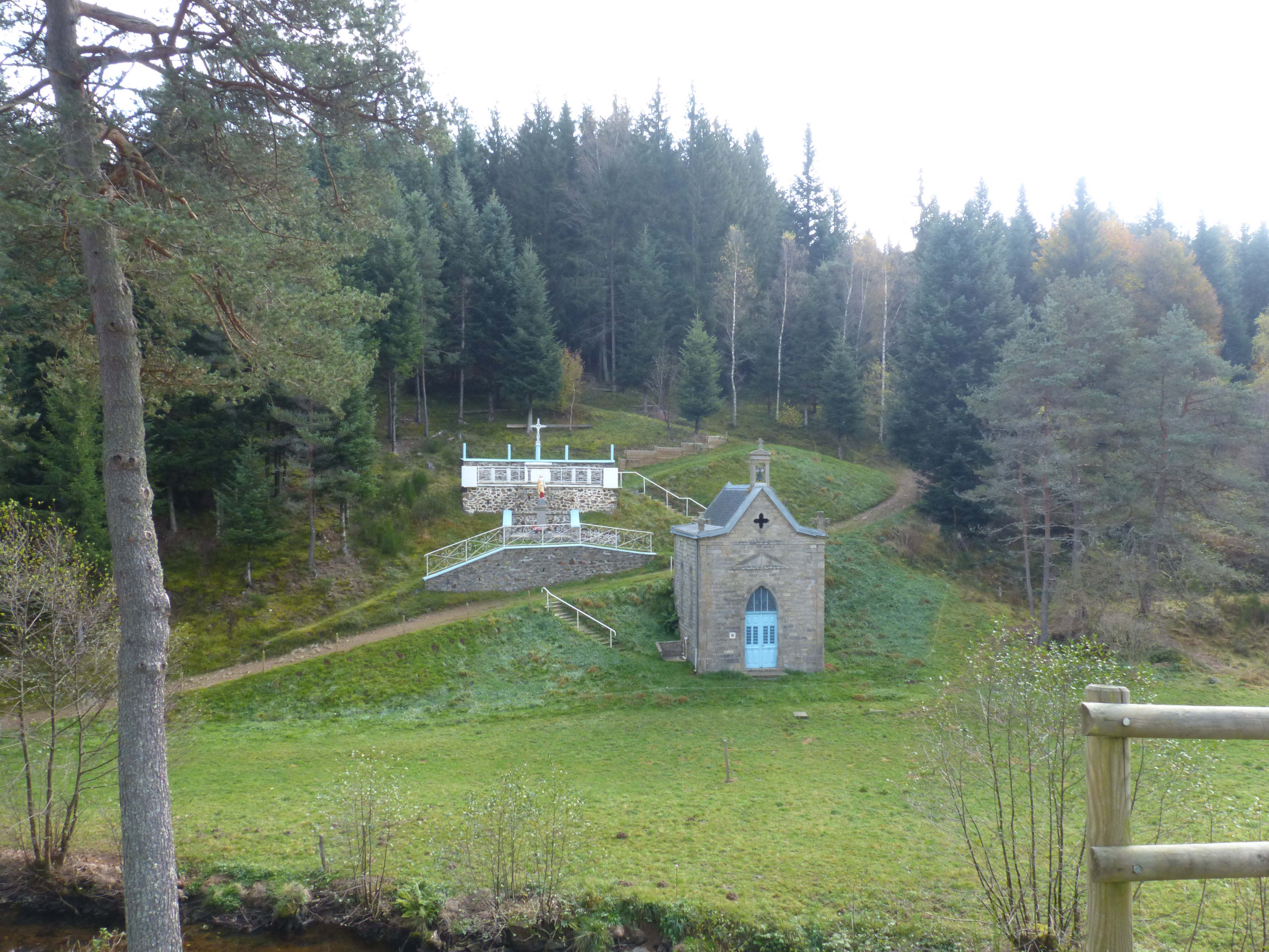
Chapelle Sainte Elidie
Captured by MDT
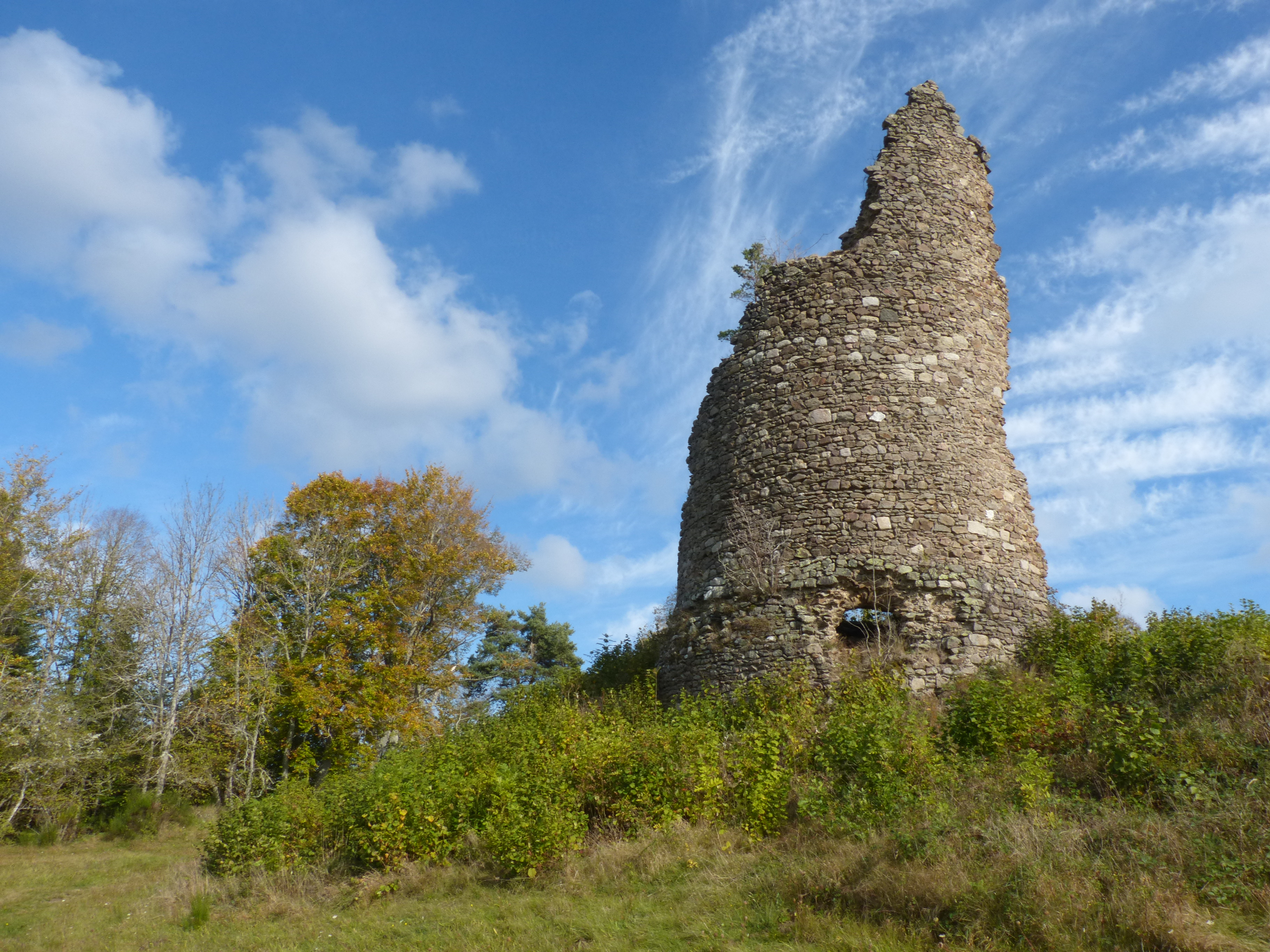
Tour de Clavelier
Captured by MDT
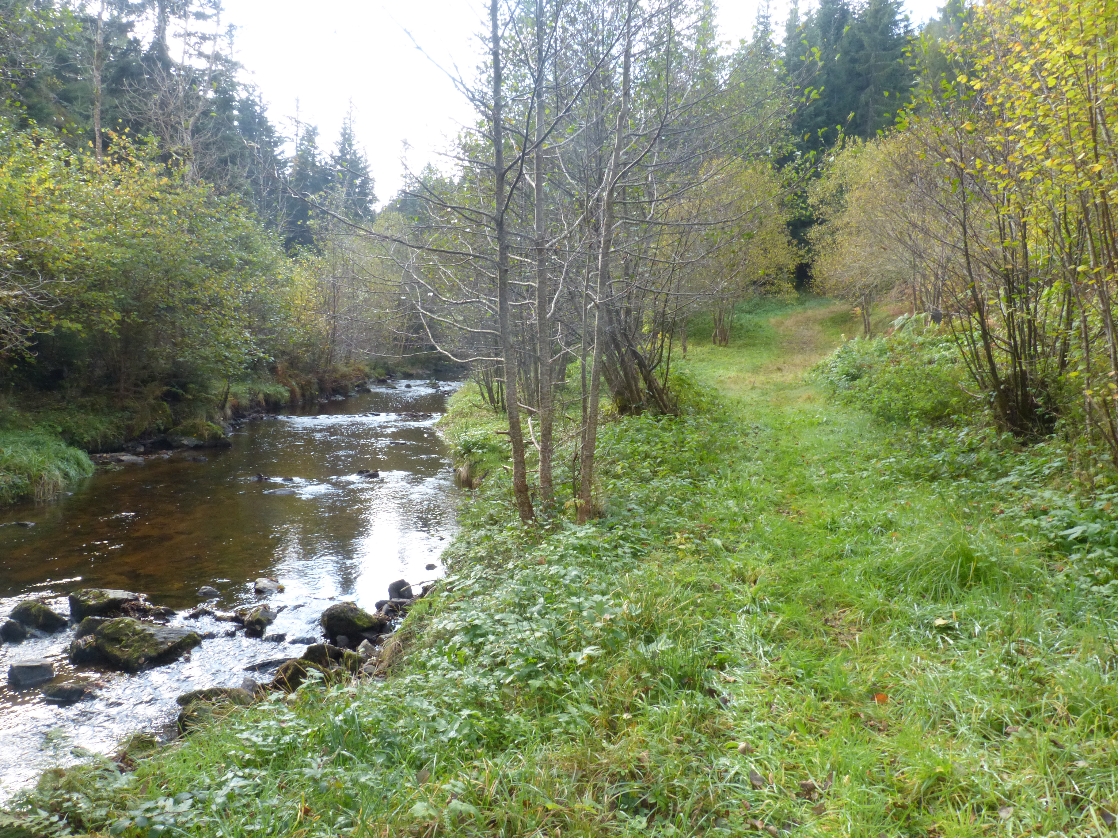
Rivière
Captured by MDT
Explore Nearby

Boucle Dore
Le Parc Naturel Régional Livradois-Forez, pays de l'herbe et de l'arbre, vous promet un séjour inoubliable entre vallons et crêtes.

Clavelier
Départ : Emprunter la route dans le sens opposé de la croix en pierre. Traverser la plantation de sapins et suis cette piste jusqu’à un carrefour, puis tourner à droite (profite de la belle vue sur le viaduc et la forêt à gauche). Au croisement suivant, monter à droite sur un petit chemin. Passer devant la “Grande Roche” au dessus du ruisseau du Beauche Rau et regagner le village. Continuer jusqu’au centre du village et tourner à droite pour rejoindre le point de départ.

Grande traversée du Livradois-Forez à VTT
Au cœur de l’Auvergne, la Grande Traversée du Livradois-Forez, vous emmène faire le tour Parc Naturel Régional Livradois-Forez, entre deux massifs qui s’étagent de 400 m à 1600 m d’altitude.