
Elevation Profile
498–982 m
Departure: From the car park, follow the D906 on the left towards
Ambert. Turn onto the first tarmac road on the left just after the Hôtel de la Dore. At the T-junction, turn right towards Florasse. Cross the village, after 300 m, take the first path on the right.
1. In the village of Les Chassaings, turn left onto the road
on the left until you reach the tarmac road. Cross it
to enter the village of Cognol. At the exit of the village,
take a path going up to the left and keep the main path
which goes up to a cross. Then take the path on the right to the village of Tarrit. At the exit of the village, turn onto a path going up to the left until you reach the Croix de Georges.
2. Continue on the path which runs alongside this cross. Go down
the tarmac road to the first houses of the village of
Bétonasse. At the hairpin bend, take the path on the right to
go down to the village. Then follow the road to the right and
200 m after leaving the village, take the road which goes off to the right. Cross two tarmac roads simultaneously to take the descending path opposite.
At a Glance
- Duration
- 3.5hrs
- Distance
- 9.5km
- Elevation +
- +485 m
- Elevation -
- -484 m
At a Glance
Live Weather
Departure / Arrival · Vertolaye
Live conditions
—
Feels like
—
Wind / gusts
—
Visibility
—
Updated: —
Field notes and images
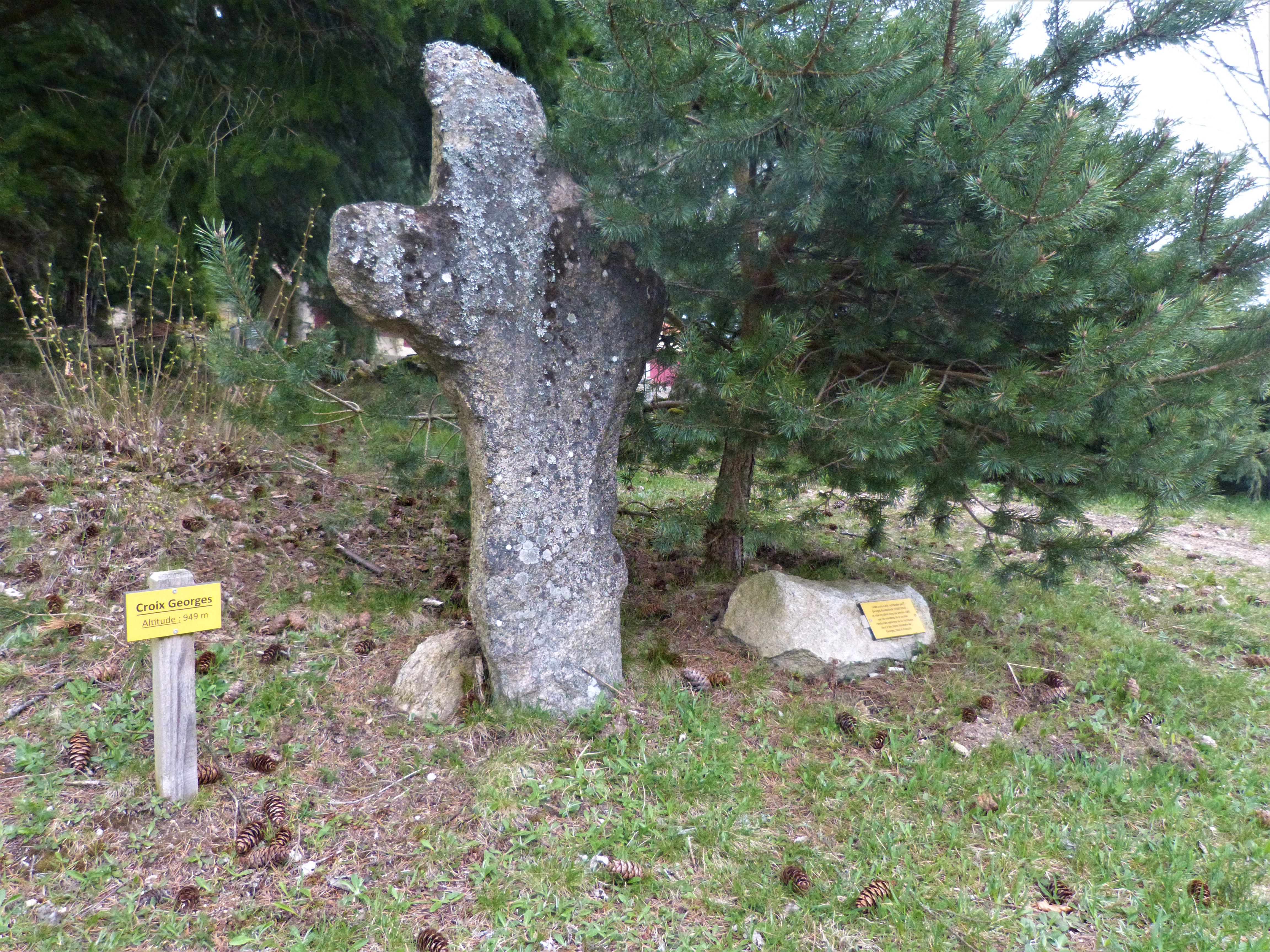
la croix de Georges
Captured by Maison du Tourisme Sébastien Giraud
Explore Nearby
2 days of bivouac on Hautes-Chaumes
Between the jasseries, the peat bogs and the panoramas of the Alps on a clear day, here is a bivouac on the volcanic ridges of Livradois-Forez immersed in nature and accessible by train.

Dore Loop
The Livradois-Forez Regional Natural Park, a land of grassland and woodland, promises a memorable journey between valleys and ridges.
Circuit n°28 De Thiollières à La Forie
Discover this trail through the heart of Livradois-Forez.