
Elevation Profile
1016–1091 m
D: Take the wide dirt road between the town hall and the Fournols road. Cross the Dolore stream and follow this path to Montghéol.
1. Cross the D39, turn left, go 50 m and take the first dirt road on the right, parallel to the road. Follow it straight on for almost a km, leaving the paths on the right. Take the basalt forest track on the right and continue straight for one km.
2. At the intersection, turn left. From Salles, follow the tarmac path which turns left (view of the Puys chain and the Sancy Massif). At the D105, turn right then, 30m later, follow the wide path on the left which leads to Griffol. Before the D39 turn left onto a small road and pass between two buildings, cut the D39 to take the path opposite. Cross the D39 and reach the Town Hall.
At a Glance
- Duration
- 2.5hrs
- Distance
- 7.5km
- Elevation +
- +129 m
- Elevation -
- -130 m
At a Glance
Live Weather
Departure / Arrival · Saint Eloy la Glacière
Live conditions
—
Feels like
—
Wind / gusts
—
Visibility
—
Updated: —
Field notes and images
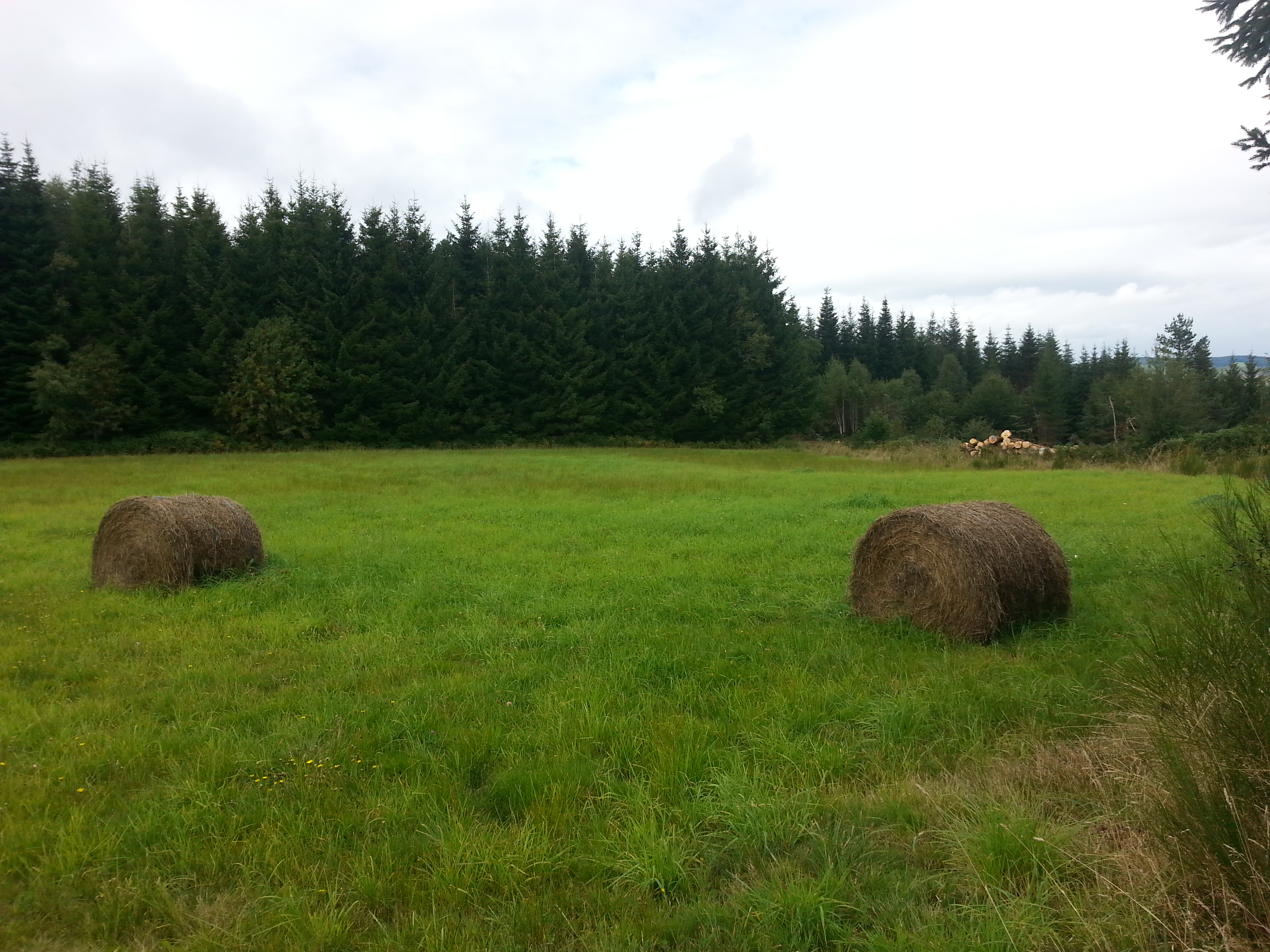
Bottes de foin le long du circuit
Captured by Maison du Tourisme
Explore Nearby

Dore Loop
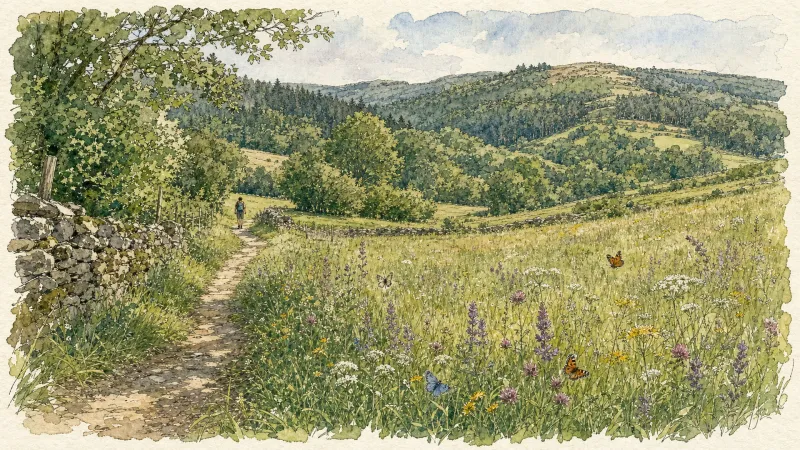
The Livradois-Forez Regional Natural Park, a land of grassland and woodland, promises a memorable journey between valleys and ridges.
Circuit n°34 Sommet du Livradois
Discover this trail through the heart of Livradois-Forez.
Circuit n°42 La Panoramique
Secteur Échandelys