
Illustration in progress
The landscape of Saint-Jean-en-Val unfolds along the left bank of the Eau Mère, a waterway that carves a deliberate path through the undulating terrain of the Puy-de-Dôme. Travelers arriving from the lower plains encounter a sequence of hamlets—Locagne, Pranly, and Séjole—where the air grows cooler and the forest density increases as the elevation climbs toward the 663-meter summit of Salamot. This is a territory of dispersed stone dwellings and agricultural rhythms, where the silence is interrupted only by the rustle of the surrounding woodland or the gentle flow of the ancient biefs. The ascent provides a shifting perspective of the Livradois-Forez, revealing a tapestry of meadows and timbered slopes that have remained largely unchanged since the era when the village was known simply as Enval.
In the heart of the bourg stands the Église de la nativité de Saint-Jean-Baptiste, a testament to the enduring influence of the Cluniac order. Originally a 12th-century Romanesque construction, the building underwent refinements in the 14th and 15th centuries, yet it retains a stoic, grounded character typical of the region’s ecclesiastical architecture. These weathered facades once fell under the jurisdiction of the powerful priory at Sauxillanges, tethering this quiet valley to the great spiritual networks of medieval Europe. Across from the entrance, the 1894 Mission Cross rises with intricate detail; its silhouette, protected as a historical monument, provides a sharp, vertical counterpoint to the church’s low-slung, noble lines.
The village cemetery holds a more somber, contemporary narrative, marking a pivotal moment of the local Resistance during the winter of 1943. At the nearby Sarpoil maquis, the struggle against occupation claimed the life of Jean Casanova, a young postal worker from Cannes who fought under the pseudonym “Gaston.” For years, he lay beneath a marker for an “unknown resistant,” his identity a mystery until post-war investigations by his comrades revealed the tragic trajectory of a man who traveled from the Mediterranean to the volcanic heart of France to defend its liberty. A visit to his grave offers a profound meditation on the cost of freedom, anchoring the serene beauty of the valley in the grit and sacrifice of the mid-20th century.
Local profile
At a Glance
- Population
- 356
- Demonym
- Jeanvalois
- Altitude
- 399–663 m
- Forest
- 40.9%
residents
local residents
lowest to highest
commune coverage
Did You Know?
“During the French Revolution, the commune temporarily abandoned its religious name to be known as Val-sur-Usson.”
Cultural Heritage
Protected historic monuments in Saint-Jean-en-Val
Croix de mission
Saint-Jean-en-Val
Recent Wildlife & Flora Log
Nature observations recorded within 5km of Saint-Jean-en-Val.
Amarelle Cherry
Small Tortoiseshell
Cowslip
Alfilaria
Aegean wallflower
Green Shieldbug
Gorse Shieldbug
Dock Bug
Pied Shieldbug
Ant Damsel Bug
Trails around Saint-Jean-en-Val
Discover physical challenges and natural beauty in the immediate vicinity.

Châteaux and Villages in Queen Margot Country (Loop No. 7)
This 60.5 km loop starts and finishes at Sauxillanges - Place de la Promenade, with 1062 m of ascent and an estimated duration of 4 hr 30 min.
The Civadoux Valley
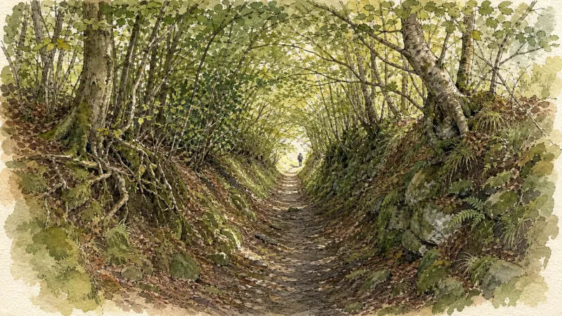
Start - From the information panel at the bottom of the car park, descend the main street. Turn left, cross Place de l’Ancienne Poste and follow Rue des Coufferts. Cross the bridge (mill leat, or "béal"), take Petite Rue des Coufferts straight ahead, then turn left onto the D214 for 200 m and left again onto the D144. Climb the track on the left (views of Sauxillanges, the Val d’Allier, Puy de Dôme and the Massif du Sancy) and continue to the D144. 1 - Follow the D144 to the right. After the transformer, climb steeply to the left through the woods. At the T-junction, turn left. At the crossroads, turn right towards Ventre. Enter the hamlet on the left. Descend the first track on the left to the fork by the pond. 2 - Turn right, then immediately left. At the bottom of the hollow, ford the stream. Climb to the right through the woods. After the clearing, follow the edge of a conifer wood. At the road, turn left towards Chabreyras (view of the Chaîne des Puys). Cross the hamlet, keeping left, then take a broad earth track on the left. Ignore the side tracks until the D144. 3 - Follow it to the left for 200 m. Bear right onto a forest track. At the fork, turn left. Follow the steeply descending path towards the Chaméane River. Cross the wooden bridge and the D49 at Civadoux. Pass between the inn buildings (a former oat mill) and climb back into the woods. At the junction, turn right. Follow the edge of the pastures (views of the Monts Dômes and the Massif du Sancy). On leaving the hamlet of Bonnefont, descend the track on the left to the D706. 4 - Turn right and, at the hairpin bend, take the track on the left leading to Saint-Quentin-sur-Sauxillanges. Cross the road and then the square, pass the church (Romanesque church with a bell gable) and continue straight ahead on the lower track alongside an enclosing wall, ignoring the adjoining tracks. At La Coierie, follow the D49 to the right for 20 m, turn left, cross the footbridge over the Chaméane stream and follow the path to the right. Descend the wooden steps on the right, cross the bridge downstream from the confluence of the Astrou and Chaméane streams, then continue alongside the Eau-Mère. In Sauxillanges, continue straight ahead on the same road and, at the end of the cul-de-sac, turn right onto Rue des Tanneries; rejoin Rue des Coufferts on the right and return to the starting point
Tour du Haut-Livradois et Abbayes (circuit route n°20)
Discover this trail through the heart of Livradois-Forez.
Explore Nearby
Complement your visit to Saint-Jean-en-Val by exploring these neighboring villages.
Bansat
A fortified vestige of the Hundred Years' War where the rugged Livradois hills meet the fertile Limagne d'Issoire.
Saint-Étienne-sur-Usson
A high-altitude sanctuary of dense forests and aristocratic history, famously immortalized in modern cinema.
Usson
A volcanic pedestal crowned by the memory of a queen in exile, offering panoramic views across the Allier valley and the Massif du Sancy.


