
Illustration in progress
The linear silhouette of Néronde-sur-Dore traces the historical trajectory of the old Route Nationale 106, an elongated settlement that mirrors the persistent flow of the river Dore. This landscape, where the valley’s transit heritage meets the quietude of the Livradois-Forez, is characterized by a dispersed habitat that yields to vast, verdant prairies. The altitude oscillates between the riverbed at 294 meters and the rising timberline at 423 meters, creating a microclimate where the temperate oceanic air is frequently sharpened by mountain currents descending from the high plateaus.
The spiritual and architectural anchor of the commune is the Église Saint-Bonnet, a structure that commands the central heights of the village. Its masonry reflects the somber, enduring palette of the Puy-de-Dôme, standing as a testament to the ecclesiastical influence that once gathered the population into a tight medieval knot before the 19th-century road expansion pulled the village into its current stretched form. Observation of the stone reveals a specific Auvergnat grit, a texture that has weathered centuries of rainfall and the seasonal shifts of the Massif Central, offering a tangible connection to the region’s Romanesque origins.
Beyond the central church, the territory dissolves into a mosaic of agricultural utility and dense woodland, with forest canopy reclaiming nearly a third of the land. The echoes of the Occitan “Neironda” persist in the local vernacular, a linguistic relic that underscores the deep-rooted identity of the Nérondais people. An afternoon spent navigating the minor departmental roads reveals a rural rhythm dictated by the grazing cycles of the valley, offering a profound sense of the region’s raw, unvarnished character where the wild timber meets the ancient, cultivated field.
Local profile
At a Glance
- Population
- 483
- Demonym
- Nérondais
- Altitude
- 294–423 m
- Forest
- 28.5%
residents
local residents
lowest to highest
commune coverage
Did You Know?
“Though officially spelled "Néronde" since the late 19th century, locals preserve the archaic "Neyronde" in their daily speech, echoing the village's Occitan roots.”
Cultural Heritage
Protected historic monuments in Néronde-sur-Dore
Eglise Saint-Bonnet
Néronde-sur-Dore
Recent Wildlife & Flora Log
Nature observations recorded within 5km of Néronde-sur-Dore.
Common Privet
Broom
Crosswort
Spotted Dead-nettle
Pulmonaria affinis Jord.
Adam-and-Eve
Cow Parsnip
Moschatel
Barren Strawberry
Cardamine pratensis L.
Trails around Néronde-sur-Dore
Discover physical challenges and natural beauty in the immediate vicinity.
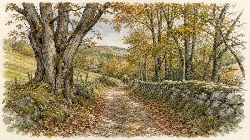
Fairy Walk
Departure: church square. Walk past the church then follow the road to the railway line. Before this, turn right and follow the street for 500 m. Head towards the D 906. Cross it to take the road opposite, be careful of fast traffic (direction la Brousse). Turn left and join La Brousse. 1. In the hamlet, take the path on the left, just after the fountain. Continue on this same path to the village of Chaumies (viewpoint over the Forez mountains). At the first houses, take the path opposite. The path becomes a road that we always follow. At the last house, leave the road and take the path opposite. Leave the first path on the right which goes down into the woods. 2. At the top of the hill, at the crow's feet, take the path on the right (viewpoint). Go down towards the stream and continue along the same path. Arriving at the road, turn right towards the hamlet of l'Eschalier. At the first houses, turn left to join the road. Cross it to take the small road opposite. 3. At the transformer, turn right onto the road then, 150 meters further, follow the D44 on your left for approximately 1.5 km. 4. At the cross, continue to the right on the D 308 and join the D 906 (be careful of fast traffic). Cross it to reach the church square in Néronde-sur-Dore.
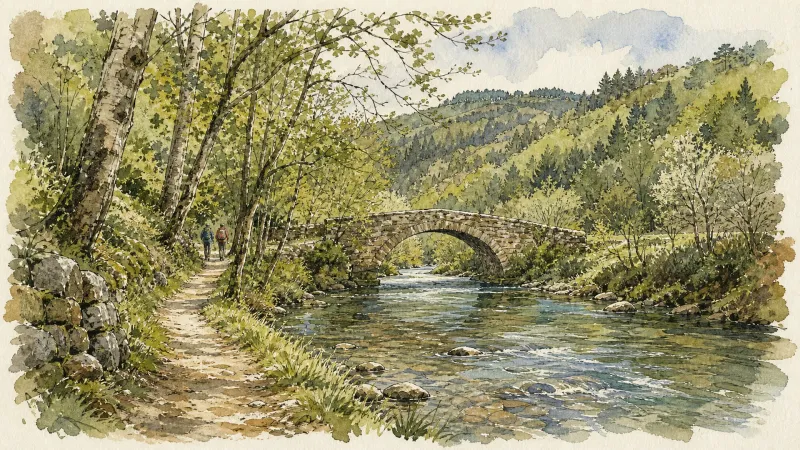
Happy people walking
Departure: church square. Head towards the D 906. Cross it to take the road opposite (D 308 - Be careful with fast traffic). At the cross, continue straight ahead and reach Bel-Air. In the hamlet, go down the grassy path opposite. 1. Take the D 44 on the left; cross the bridge and, 100 m further, go up the small road on the right. Cross Genestoux along the castle and keep the same road. The road becomes a path that we follow straight on. Always follow the main path. At the tarmac road, turn left and join Les Pierres. 2. In the hamlet, pass between 2 houses then turn left onto the road towards Gaillard. In the bend, continue on the road to the right. Cross the town; at the exit, just after the last house, turn right. At the entrance to Coussat, before the first house, take the path on the left. Go down to the bottom of the village and take the path which goes to the right between the houses. At the first intersection, turn left. At the next intersection, continue straight on then, at the next one, continue straight on. 3. At the road, turn left then, 30 meters further, turn right. In the hamlet of Bournoux, continue straight on. At the bread oven, continue to the right. At the bottom of the village, at the road, turn right towards Coulaud. Before the first houses, at the “Give way” sign, turn left. Follow this path (steep climb) to the hamlet of Provarel. Cross the hamlet then, after the last house, leave the road which goes up to the right and take the path on the left (viewpoint over the Puyde-Dôme and the Puys chain). 4. At the hamlet of C h e i x, continue straight on the path which goes down, then up. At the road, turn right. 50 meters further, at the transformer, take the road on the left. Follow the D 44 on the left. 200 meters further, leave the road and take a path on the right in the fields. At the crossroads, follow the path on the right. In the hamlet, take the road on the right. 5. 500 meters later, at the crossroads, turn right to cross La Brousse (bread oven) and continue straight on the tarmac to join the D 906 (be careful with fast traffic). Cross it to take the street opposite. Walk alongside the “Les Toits de la Dore” housing estate, the cemetery and continue to the railway line. At the railway line, turn left and reach the church of Néronde sur Dore.

Walk in Bas-Livradois (route route n°25)
Discover this trail through the heart of Livradois-Forez.

Quatre Vents Challenge (Road Circuit No. 14)
One of the shortest circuits designed as a loop from the national cycle-touring centre, this route uses many quiet minor roads. Follow the directions carefully to avoid losing the route. Take particular care on the road after Néronde, especially when turning left off the D906.
Découverte de Randan et Maringues (circuit route n°28)
Discover this trail through the heart of Livradois-Forez.
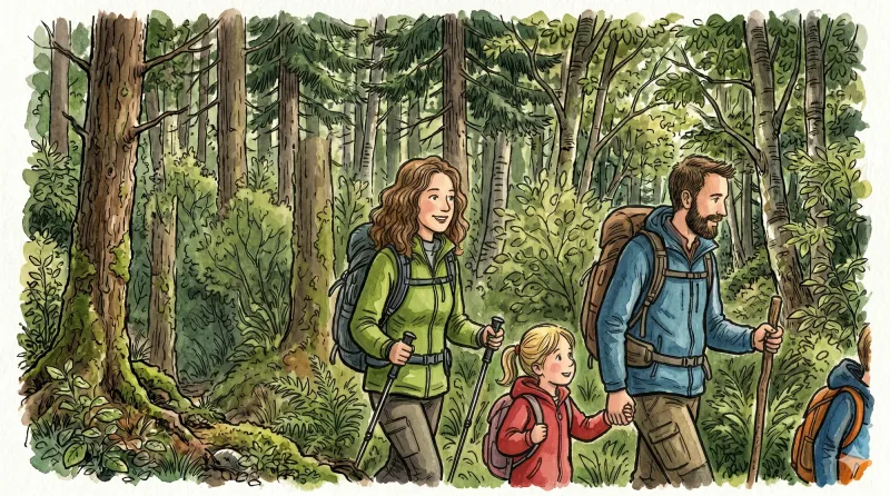
Entre Comté et Pays d'Issoire (circuit route n°17)
Discover this trail through the heart of Livradois-Forez.
Explore Nearby
Complement your visit to Néronde-sur-Dore by exploring these neighboring villages.
Bort-l'Étang
A stoic agricultural landscape where the "ford of the raven" reveals a history of profound resilience and quiet architectural dignity.
Courpière
A river-hugging town where Roman pottery kilns and Cluniac priories meet the childhood echoes of Coco Chanel.
Escoutoux
A high-altitude sentinel of the Forez where ancient ruins and literary legacies overlook a landscape defined by the historical art of vigilance.
Peschadoires
A riverfront destination where medieval fortifications meet the industrial echoes of a former inland port on the Dore.
Sermentizon
A refined excursion into the Forez foothills, where the feudal grandeur of the Château d'Aulteribe meets the ancient textures of pisé architecture.


